Wet End To The Week Across The Southeast
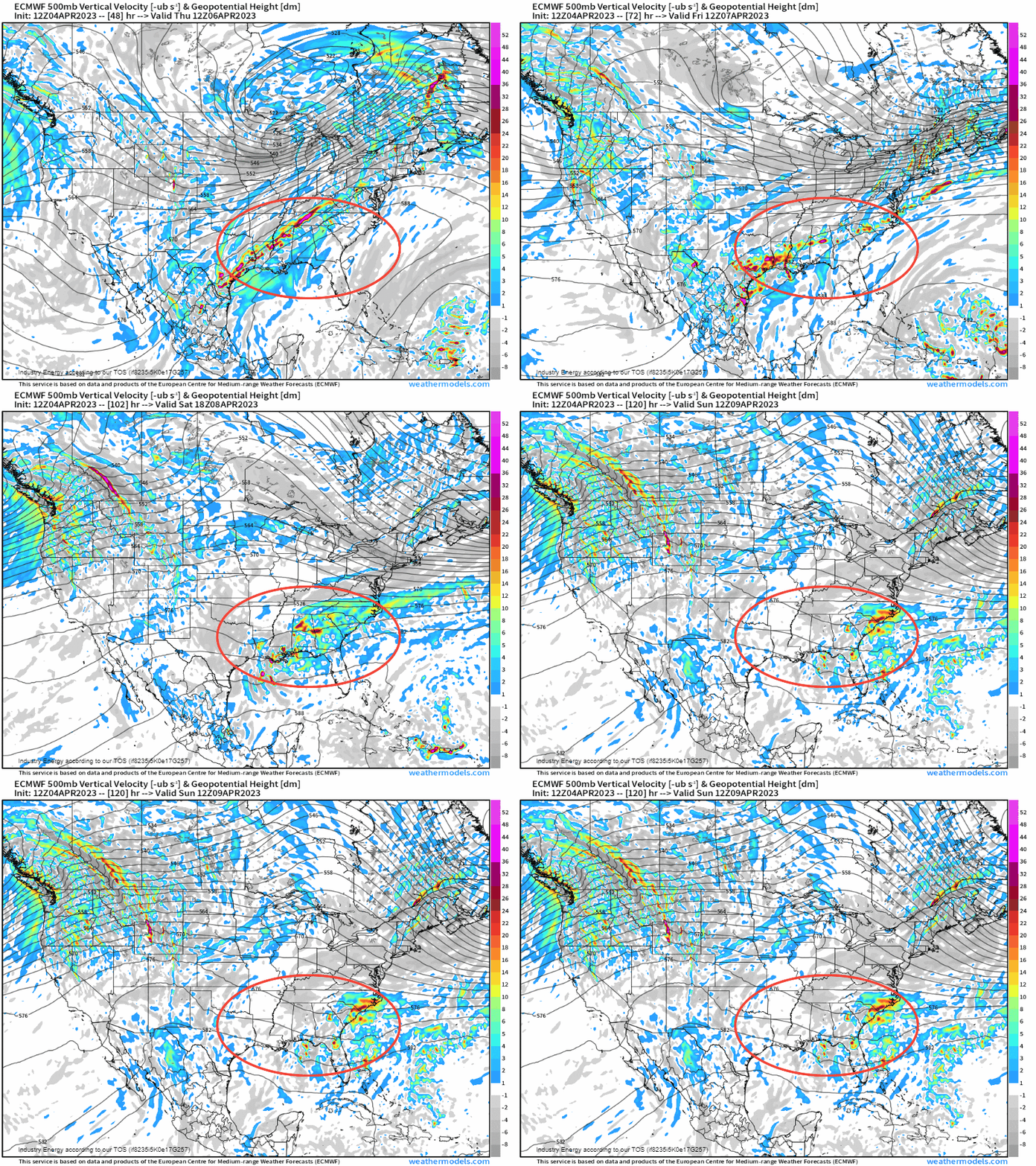
The same cold front that has elicited severe weather from Tuesday night into Wednesday across the southern Plains, will now slowly drape itself across the Gulf Coast and the Southeast heading early Saturday. As it does so from aloft, we’ll see several embedded shortwaves (pieces of “energy”) eject out from the Gulf and essentially “ride” the boundary, enhancing the lift.
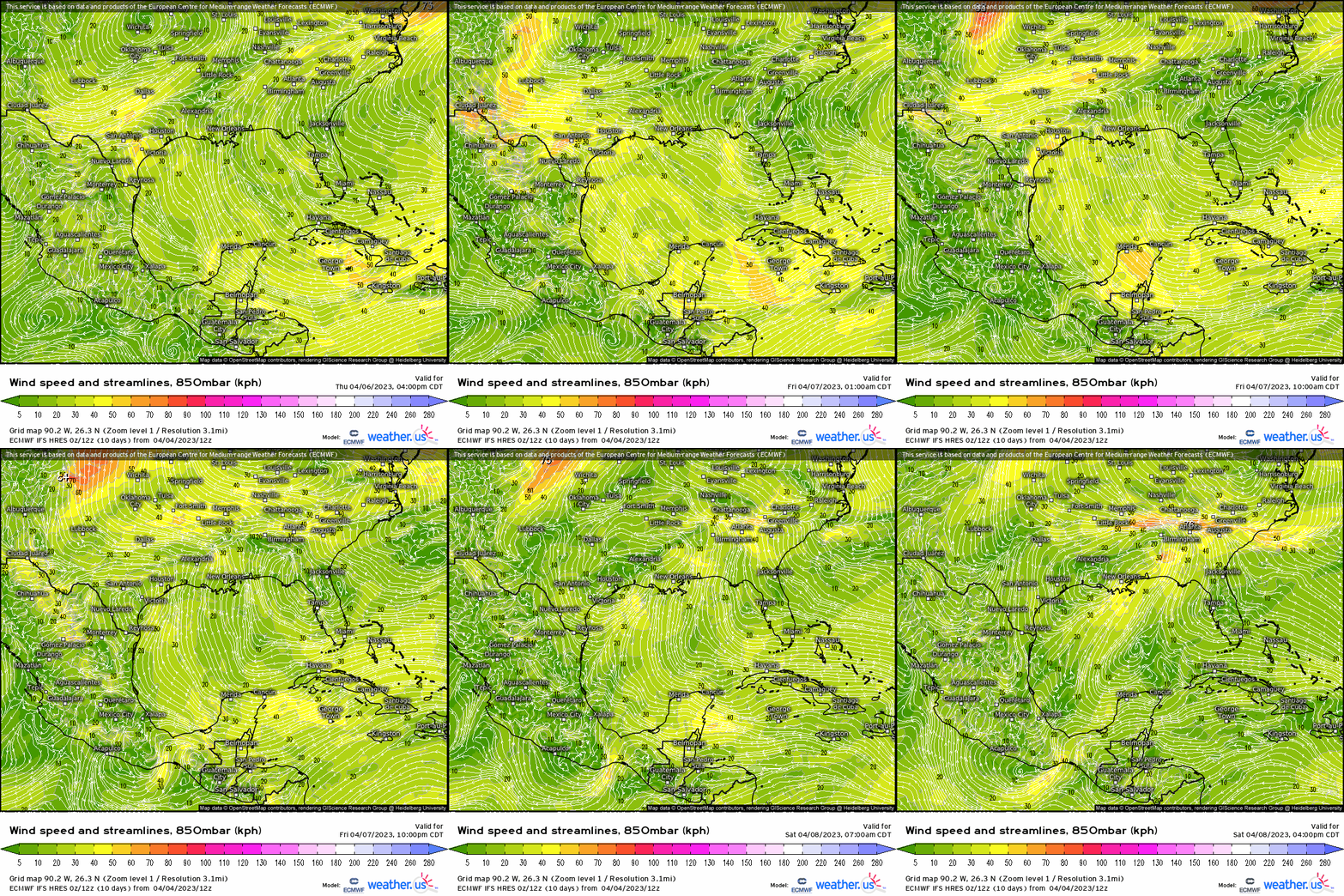
At 850mb, you can make out the frontal boundary through the convergence of the streamlines from TX to SC. What’s more, note the mean wind profile that transpires into the weekend with perpetual southerly wind flow out of the Gulf rendering both warm and moisture advection. This is a setup for heavy rainfall with embedded T-storms, which within this general vicinity can cause areas of localized flooding.
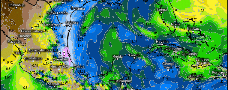
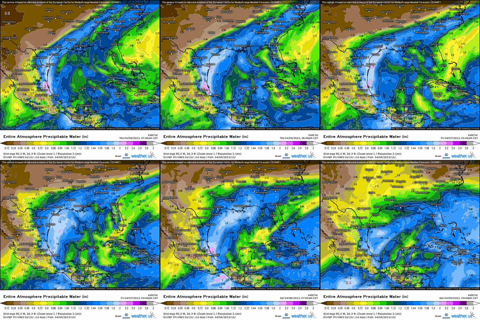
Along with this comes a very favorable saturated environment given the high PWAT’s of over an inch, extending across these aforementioned regions. Along with this, you can make out the long draped front.
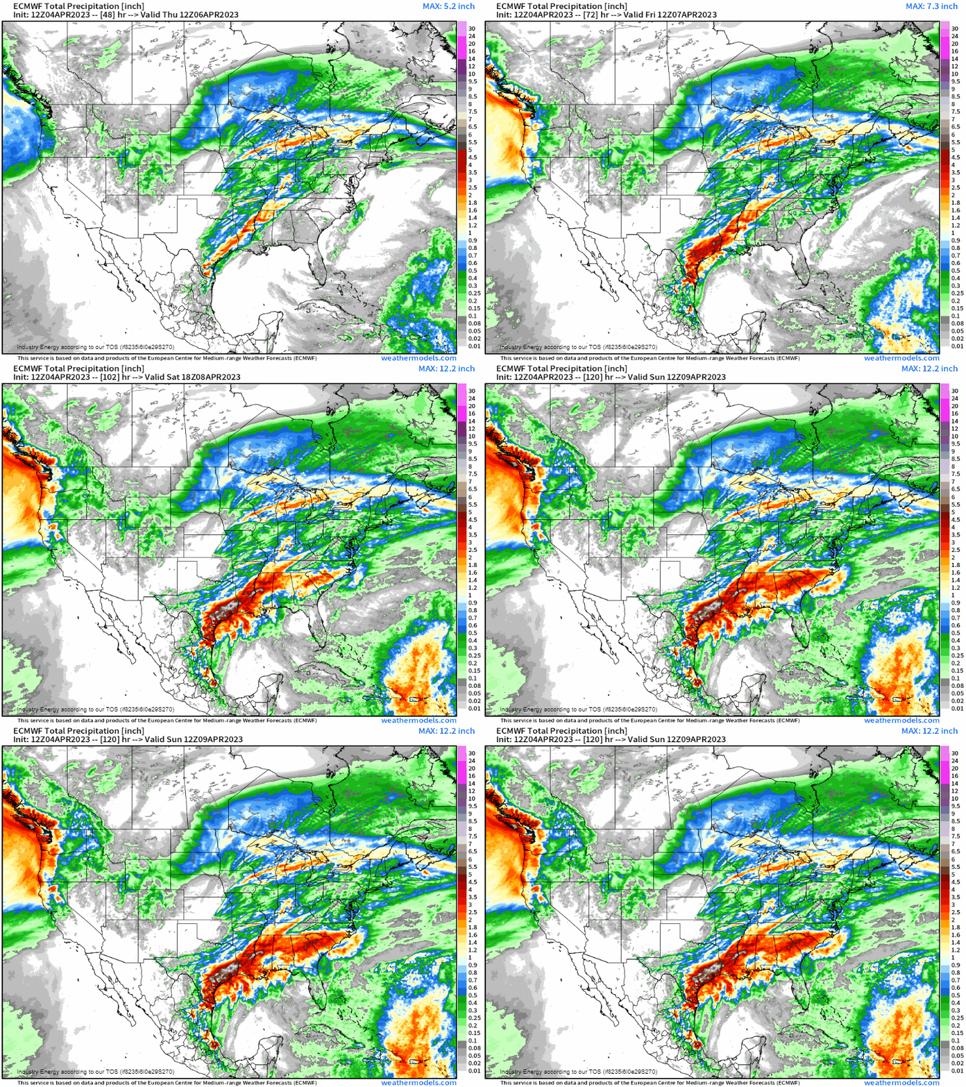
In general, we can expect widespread 1-2”+ (locally up to 3”), with the “bullseye” centered across SE TX and into LA where areas can see up to 5” through Sunday, likely causing concerning flash flood issues. The good news is, behind this front, a ridge forms over the area with high pressure helping to usher in drier weather heading into next week.
