Western Water Woes
We’ve talked a lot about the Eastern US lately – and rightly so, as we’ve been experiencing a period of rather impactful winter weather. But for today, we’re going to switch our focus to the West Coast. Not because there are any major storms incoming, but because the lack of “storms” is becoming worrisome.
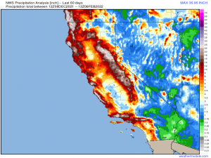
December was an incredible month for the drought-stricken Western US.
Multiple atmospheric rivers soaked both the Pacific Northwest and California over and over. So much rain fell in just a month that a significant dent was made in the widespread Exceptional and Extreme drought conditions plaguing the region.
The severity of the drought was a long time in the making. However, there was hope that if the pattern would just persist, this region could receive enough moisture to not only rid them of drought conditions, but send them into the next dry season with a surplus.
Then one day in early January, the firehose of moisture from the Pacific shut off as the pattern shifted. Persistent ridging has directed any disturbances that come along north into Canada and then down into the Eastern US.
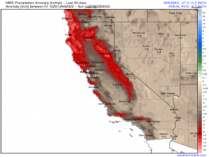
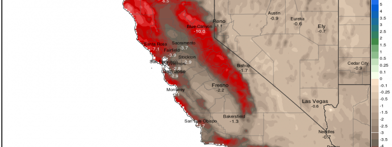
The result: in the last 30 days, little to no rain has fallen.
The deficit, which was being improved upon, is now slowly piling up again.
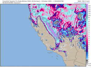
The current season total of the snowpack in the Sierras – just under 300 inches – was well above average at the beginning of January. After an entire month with no snow to speak of, it has fallen below average. This snowpack is extremely important for the dry months. As it melts when temperatures warm through the spring and summer, the run-off provides water for the lower elevations. Without at least an average season snowfall, water will once again be in short supply come summer.
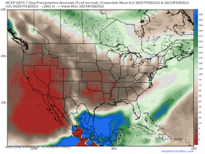
The medium range forecast offers very little hope of a break in the pattern. The short-range forecast offers even less.
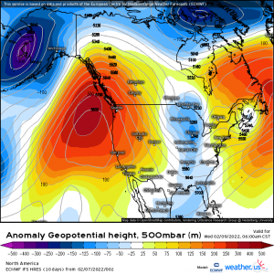
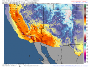
An anomalous ridge is forecast to build over the West Coast early this week. Besides continuing the dry spell, record highs are possible.
This is merely a single-day snapshot but record highs will be possible for several days (Wednesday through potentially Saturday). Besides further drying out the ground, if temperatures in the some of the higher elevations creep above freezing for multiple days, a portion of the now below average snowpack could be lost.
Though we aren’t quite in dire straits as the drought hasn’t officially started to trend worse just yet, the dry season is fast approaching and a pattern flip would be most welcome.
Unfortunately, no opportunities seem to present themselves through at least the next week. We’ll keep watching for hints of change.
