Weekend Fall Fun Forecast
With Fall now officially underway, many are looking to get out and get started on that fall fun to-do list. But will the weather cooperate? Let’s take a look! Here’s your fall fun weekend forecast by region.
The Northeast/Great Lakes
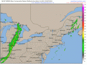
We can spot two problem areas right off the bat as we check out current radar.
First, we have a semi-stalled cold front that is/will continue to pull showers and thunderstorms into Maine throughout the day. These storms are progressing parallel to the front, so training is likely. As we know, training storms increase the risk of flash flooding, so use caution if you’re out and about today.
Second, a clipper-type system is swinging through the Great Lakes. A thin line of showers accompanies it and will progress eastward throughout the day. The line will become weaker and less organized with time, though a few scattered showers will remain possible from Ohio into Pennsylvania and New York into the overnight hours.
On Sunday, heavier rain and storms are expected to move into southern New England and overspread the region by daybreak. Meanwhile, a northwest flow behind the cold front that will have moved through on Saturday may create some “lake-effect rain” for western New York and western Pennsylvania.
Bottom line: Sorry, Northeasterners. This is not your weekend for outdoor fall activities. Maybe settle for carving pumpkins indoors instead.
Mid-Atlantic/Southeast
Congratulations, y’all are the winners of this weekend’s best weather! Well, except for Florida which is down there doing normal Florida things.
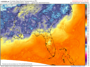
High pressure will dominate the region through the weekend. A dry air mass remains in place as well which means beautiful warm (but not hot) days and clear, cool nights are on tap for this region. Enjoy every second. Heat and humidity will return with the start of the work week.
As for Florida, it’s business as usual with tropical humidity and toasty temperatures. Numerous afternoon showers and thunderstorms are likely Saturday, especially for the southern peninsula. Drier air sinks in on Sunday, bringing a temporary reprieve to the oppressive dew points in the 70s as well as afternoon storms. If you’re making beach plans for this weekend, Sunday is your day.
Central US
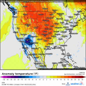
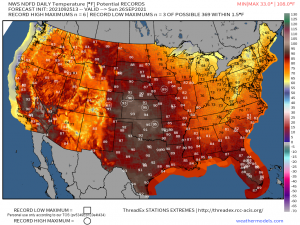
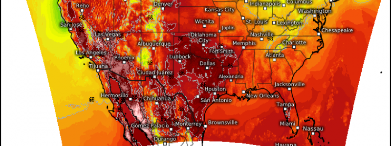
Though dry air will be in place so humidity will remain low, temperatures will begin to creep up through the day Saturday and become significantly above average by Sunday.
Saturday will be the transition day. If you’re not a fan of the heat, this is your day for outdoor activities. Sunday could feature record high heat, especially in the plains, so plan accordingly.
The Southwest
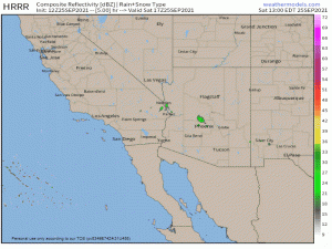
Monsoonal moisture will allow for numerous showers and thunderstorms to spin into the area around a low throughout the weekend. Locally heavy rainfall could lead to flash flooding. Probably not the best weekend for outdoor activities.
The Northwest
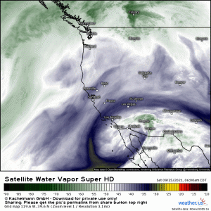
Saturday will be the better day, weather-wise, of the weekend. A trough will slowly move into the region on Sunday, bringing decent rainfall with it. Amounts will, of course, be maximized along the coast and higher elevations. Most of the region, however, stands to see at least some rainfall by mid-week. As rain is sorely needed in this part of the country, I doubt the forecast ruins the day.
In the highest peaks of the Cascades, this moisture will fall as snow, leaving the mountain tops with at least a few inches of fresh snow by mid-week.
Wishing y’all a great Fall weekend, whatever your weather is!
