Warmer With A Hint Of Severe
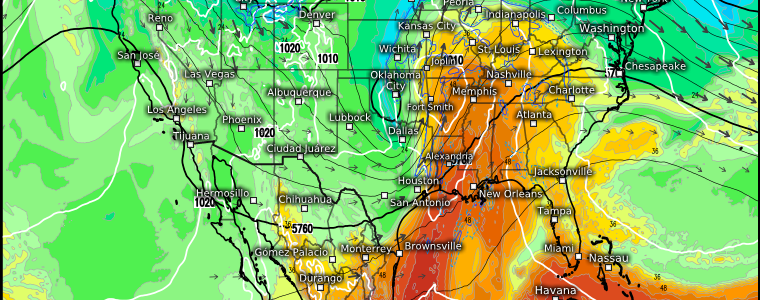
Here and gone: one look at the current temperatures around the Eastern US this morning will tell you that the historic Arctic air experienced over the weekend is now merely a memory.

Though the northern-most points of the country are cold this morning, it’s a far cry from the well-below zero temperatures seen throughout the region this past weekend. In fact, if we turn our eyes to Texas and the southern Plains, we see warmer air creeping northward.
Warmer weather will be the theme of the week for the Eastern US as the switch flips from dead-of-winter to spring preview.
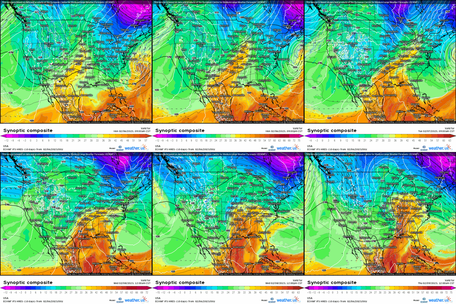
The southeast ridge will flex this week, building northward and bringing warmer air with it. A steady southerly flow will flood the Eastern US with warmer air, especially toward the latter part of the week.
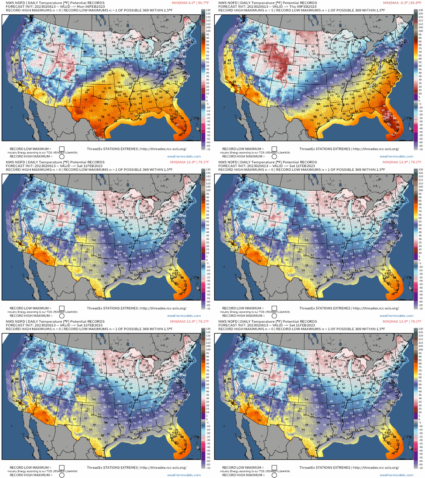
In a stunning turnaround, the Northeast will switch from record lows this past weekend to a few potential record highs by Thursday and Friday. Meanwhile, the temperatures in the South/Southeast are more reminiscent of a day in April rather than early February.
This probably looks like perfect weather to anyone not familiar with the South. However, this makes me (a northern transplant in the South for a decade now) and every other southerner begin to wonder when the other shoe will drop. And by other shoe, I mean the inevitable severe threat that follows a period of moisture return and warmth.
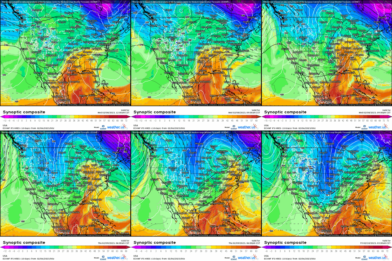
If we go back to our synoptic composite map, we can see a trough digging south and then developing into a mid-latitude cyclone by late Wednesday before then lifting away northeast. This will be our next weathermaker.
Though a broad area from Eastern Texas through the Tennessee Valley will see a chance for isolated severe weather, it seems to be both uncertain and limited at the moment.
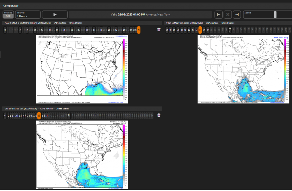
Instability may remain rather limited with the highest values closer to the Gulf Coast.
Shear, however, will be high. High shear, low CAPE (HSLC) events are common in winter/spring months for this region.
While only a large Marginal risk exists at the moment due to uncertainty and lack-luster instability, it wouldn’t be surprising to see a Slight risk emerge for more southern parts of Louisiana and Mississippi with time.
Timing for this potential threat will be Wednesday into Thursday, which means we still have a day or two to watch these disagreements work out as the higher resolution models come into range. I’ll monitor the evolution of the forecast and publish an update on any possibility of severe weather on Wednesday morning.


