Update: Sunday Severe Threat
Not much has changed, forecast-wise, since I wrote about a Plains severe threat yesterday. However, confidence is increasing in a significant severe event unfolding for some in the Plains this afternoon and evening, so I felt a special Sunday blog update is required.
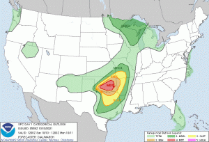
Placing the outlook here for reference. Again, don’t get hung up on scary colors. While south-central Oklahoma has the highest confidence in severe weather, it can still occur in any of the defined risk areas today. So, if you’re in any of those colors displayed on the map, make your severe plan and be prepared to use it. Better safe than sorry, always.
Let’s take a quick look at what’s going on this morning.
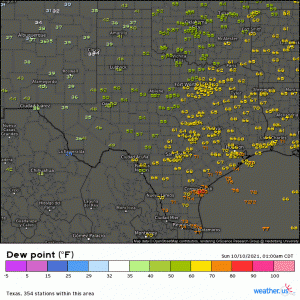
If we loop the last few hours of the dew point observations, it’s apparent that the northward surge of moisture is already underway. As the LLJ cranks later on, this will only intensify. That tropical humidity will serve to provide plenty of available moisture for the atmosphere to work with once the best forcing arrives ahead of the front this afternoon.
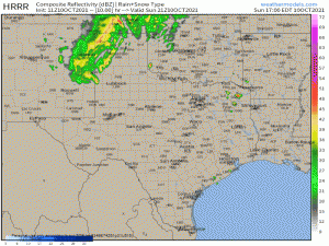
Visible satellite isn’t helpful just yet considering that the sun is just coming up in the Central US, however, IR Satellite suggests some broken cloud cover currently. As the sun rises and burns through these clouds, the added heat will serve to destabilize and prime the atmosphere.
The SPC was pretty specific concerning threats in their discussion this morning. Tornadoes, some significant, destructive hail, and severe gusts are all possible. We discussed the parameters expected to be in place to facilitate these threats in yesterday’s blog, and confidence has only increased in it today.
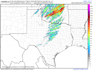
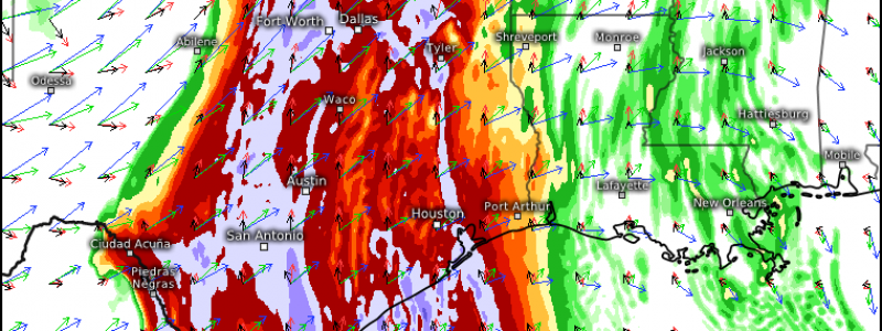
From roughly early evening onward, the Updraft Helicity Swath parameter suggests quite the signal for rotating storms. Remember: this parameter shows potential, so exact locations (ex: a track going directly through your city) should not be taken literally. Just know that this general area, which lines up with the Moderate risk area from the SPC, has the greatest potential to see significant rotating storms. This doesn’t necessarily mean tornadoes – supercells rotate too – though, in this case, they are certainly likely.
Also note that the swaths are present in “lesser” defined risks areas. Though they aren’t as potent, the risk for rotating storms extends outside of the scariest color, as I mentioned earlier.
As discussed yesterday, the onset of the severe weather (roughly late afternoon/early evening) will be the most favorable for the formation of discrete supercells bearing large hail and potentially significant tornadoes. After that, upscale growth into a QLCS is expected and damaging winds become the main threat. However, hail is still possible, though to a lesser degree, and embedded rotation in the line could lead to another tornado or two.
Let’s discuss the timing since it’s not exactly ideal.
Activity is expected to kick off late this afternoon and persist into the overnight hours. The most potent threat will exist during the early period but that does not mean that the later activity isn’t dangerous. Those on the eastern periphery of the defined risk areas may want to make plans to sleep in their safe space tonight. If a warning is issued, this could save valuable time that would otherwise be lost scrambling from bed to your safe space.
As this is partially an overnight event, be sure to have multiple ways to receive warnings, including at least one (reliable) source that will wake you if needed.
That ended up being a bit longer than I planned, so let’s summarize:
Significant severe weather is likely for parts of the Plains states late this afternoon/evening/overnight. All hazards are on the table, including potentially strong, long track tornadoes. Have your plan to shelter ready to go should you need it. Have multiple ways to receive warnings including at least one that will wake you if you’re in the overnight portion of the risk area. Stay up to date on current conditions via your local branch of the NWS and also your local news stations – your broadcast meteorologists have your back, trust them.
Stay safe!!!
