Unusual October Tornado Risk Targets East Great Lakes
When the seasons clash, they rarely do so peacefully.
A large, intense, and slow-moving longwave has inflicted a highly polarized regime across the United States, with a cold West and warm East. It’s already spun up dozens of Oklahoma tornadoes and spread heavy snow across the upper Rockies and northern Plains, and it isn’t done being a general menace yet.
As the longwave finally gets shoved east over the next couple days, a fairly widespread threat for scattered damaging wind and isolated to scattered tornadoes will envelop a corridor of the eastern and central US. The most interesting threat area, in my opinion, is a corridor unusually far north in which tornadoes will be possible amidst unseasonable supercells- from Ohio into Pennsylvania and New York.
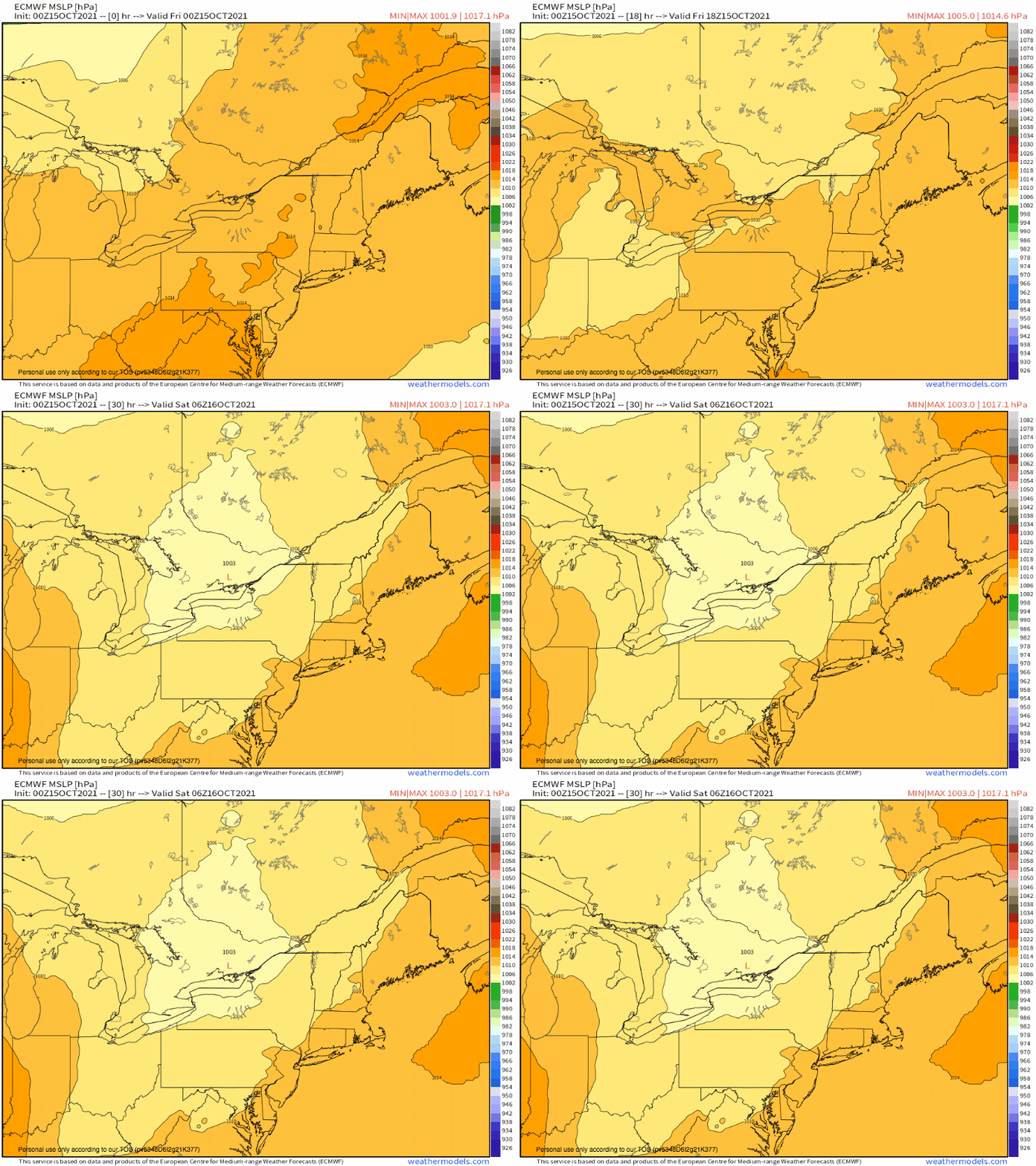
A surface frontal zone, responding to an impulse skirting the longwave, will develop over lakes Erie and Ontario today. A surface low will begin to climb this front from the south, inciting steady pressure falls east of the lakes.
In this environment, low level mass response will be quick and effective. Models depict an intense low level jet developing by evening, which will serve two functions: to continue advecting deep moisture north, and to increase potential for updraft turning with height.
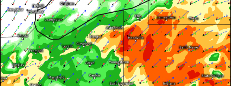
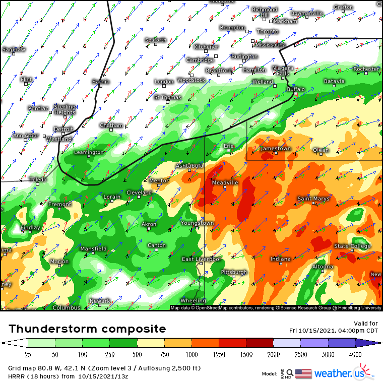
The former will promote an increasingly unstable airmass over parts of the Northeast, a difficult feat for this time of year. While limited midlevel lapse rates and an unfavorable sun angle should prevent more than moderate instability, models depict CAPE to 1500j/kg. And, because of the moisture content, a lot of this instability will be concentrated below 3km- an instability profile favorable for supercell tornadoes.
This favorability will continue with the second ‘function’ of the low level jet: rapid winds just above the surface that will serve to enlarge hodographs quite a bit beyond what’s normally seen in this part of the country. And, with a lot of this enlargement focused fairly low down in the atmosphere, the potential for tornadoes increases yet again.
The combination of low-level instability and kinematics with upper level shear at the hands of the longwave’s expansive jet will support scattered thunderstorms, forming lines and discrete cells. Especially where storms manage to be cellular, tornadoes will be possible given the parameter space at hand.
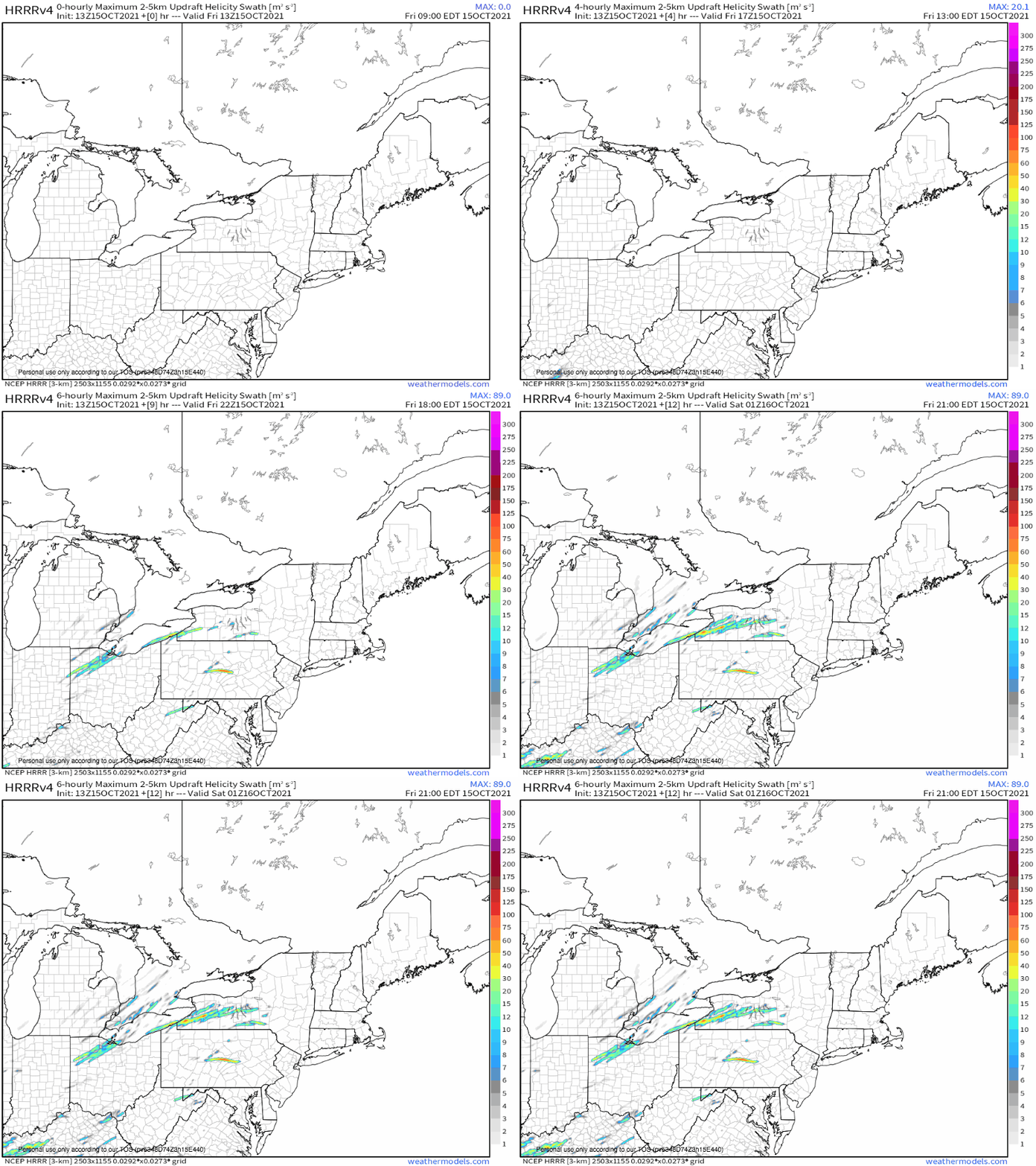
The tornadic potential can be seen in the updraft helicity swaths portrayed by the HRRR, which show the potential for long-lived rotating updrafts that could potentially drop tornadoes. Don’t focus on the actual placement of these swaths- rather that they exist, which shows the chance for rotating thunderstorms.


