Two Separate Severe Threats for Your Wednesday
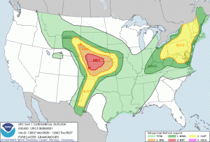
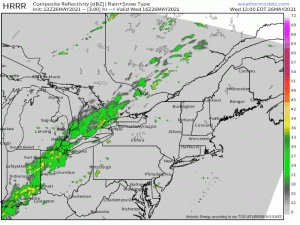
Changes in our pattern are afoot, as we touched on yesterday. It is especially evident in the notable outlook issued by the SPC for today delineating not one, but two separate areas of concern, one of which has been given a “moderate risk” outlook area. We’ll be watching a large area of the Plains states and the Northeast for development today.
I’m choosing to share the SPC outlook map for efficiency’s sake. Since there is a rather large, varied area under the gun today, this might help you visualize it as we discuss it. That said, please remember that if your location is covered by any color on today’s map, you retain some level of risk for severe weather today and should prepare accordingly. Of course, bolder colors mean a higher likelihood, but severe storms don’t suddenly stop or think twice about forming because they cross a line drawn on a map by a human.
Let’s take a look at both set ups below.
The Plains States
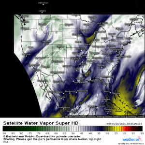
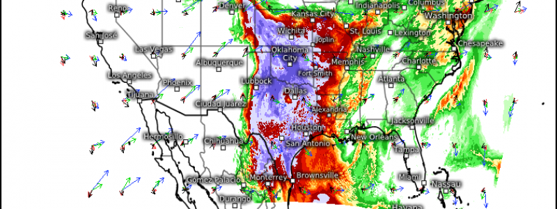
As evidenced by the water vapor imagery, a shortwave trough is currently digging in just west of Wyoming. This feature will serve to incite some potentially significant development later today.
As the trough decends the Rockies into the Plains states, lee cyclogenesis will occur and a surface low will form. As the low deepens and the LLJ intensifies, it will bring moisture north, sharpening the contrast between dry air in western Colorado and moist air in eastern Colorado. It is here, and points north, closer to the triple point, that we could see the most significant development.
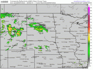
Initial development could consist of discrete supercells capable of very large hail and a few intense tornadoes, particularly over southern Nebraska and northern Kansas before quick upscale growth into a MCS with a primary wind threat.
This forecast, however, is somewhat conditional and is dependent on the time of initialization. Should storms kick off in the early afternoon before the LLJ is at it’s peak, they may be quite a bit weaker than suggested. However, should they form in the early evening hours when the LLJ is at peak, they will pose a more significant threat. Current guidance leans toward it being the latter, but it’s good to be aware of both scenarios, especially if you’re out and about today.
Regardless of timing, the threats aren’t negligible so have a plan and multiple ways to receive warnings, including at least one that will wake you as, if we see later-day development, this threat will likely persist into the overnight hours in some form.
The Northeast
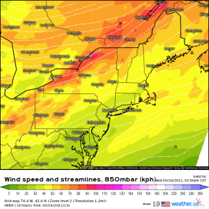
Turn your attention, if you would, back to the water vapor imagery I posted at the beginning of this blog. You’ll notice a low-amplitude shortwave trough over the Great Lakes region. This will be the feature driving the potential severe weather for the northeast today. As it swings into interior New York state, the low level flow will strengthen, bringing anomalous warmth northward.
So warmth, moisture, and some weak forcing will set the stage for development. Kinematics aren’t the best with sub-par lapse rates, limited forcing, and middling CAPE, and lend toward wind being the primary threat. However, a spin-up tornado or two, especially over favorable terrain where topography can enhance the shear, is not completely out of the question.
Multi-cellular clusters are the likely storm mode with some upscale growth into a line with time and loss of daytime heating. As mentioned, winds are the primary threat, though small hail and perhaps a tornado can not be ruled out, especially in the earlier stages. Be sure to remain weather aware and have multiple ways to receive warnings.
Be safe today!
