Tornado Outbreak Expected
03/25/2021 /
No Comments
An outbreak of numerous tornadoes will almost certainly occur in the Southeastern US today, with storms evolving amidst a parameter space highly supportive of significant to violent tornadoes. If you live in the southern or central Mississippi valley region, take time to review Meghan’s severe storm preparation tips here.
A parameter space about as favorable as possible for high-end tornadoes will develop over the Southeast today.
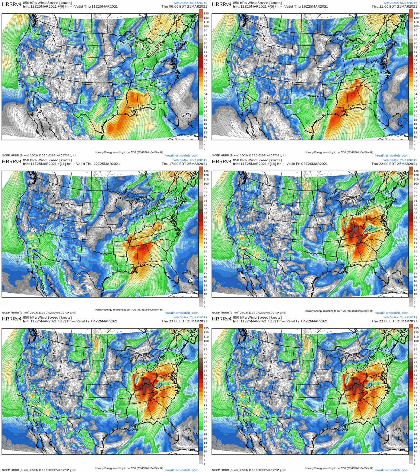
It will evolve as an impressive double-barreled midlevel shortwave pivots east this morning, with increasing height falls overspreading the south-central and south-eastern US amidst brisk midlevel flow. Mass removal aloft will incentivize the deepening of a low level cyclone, tightening the height fields against a Bahaman ridge. The result will be the already intense low level jet strengthening beyond 60 knots in places.
High dewpoints will continue surging north amidst this fierce advection regime, reenforcing an already substantially moistened warm sector from Louisiana into Alabama.
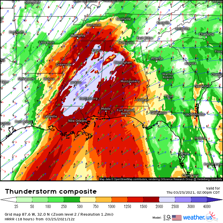
This booming moisture field is being overspread from the southwest by near-record lapse rates for this time of year amidst a high-end EML. The combination of these parameters is already supporting CAPE in excess of 2000j/kg for many, values that will continue to be improved with increasing moisture return and some degree of solar heating during the day.
These factors will contribute to a well-sheared, high helicity parameter space with high-quality instability, an environment nearly ideal for updrafts to develop, organize, and evolve into intense supercells.
Of course, even the most ideal environment won’t produce tornadoes unless convection is able to take advantage of it. We saw this on May 20th 2019- a nearly perfect environment for long-track, violent tornadoes that produced almost nothing due to a subtle capping inversion that limited updraft development. This brings us, naturally, to an analysis of storm initiation and convective mode.
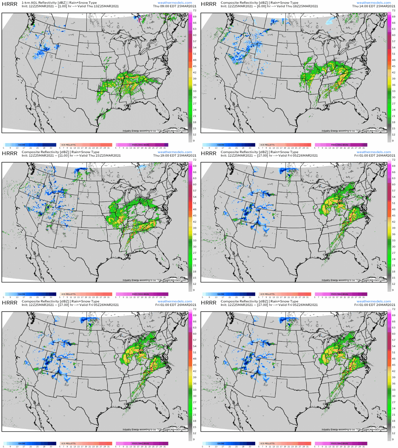
A night of Texas storms have framed the warm sector in widespread stratiform rain with imbedded thunderstorms, with an open warm sector to the south increasingly overrun with scattered convective showers. 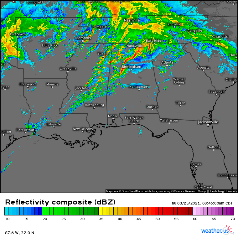

Convective allowing guidance suggests that these storms will pivot north today, likely in association with the northern boundary of the secondary surge of moisture expected beneath the strengthening LLJ. It will move north today steadily, with convection probably largely remaining relatively shallow. While doing so, the storms will slowly re-orient to a more
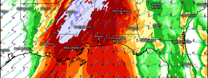
Around 2pm, over northern and central Alabama and Mississippi, the western edge of this boundary will interact with a developing wind shift amidst peak heating, excessively supportive kinematics, and a modifying EML. There is a chance over-eager initiation over the next couple of hours destroys the pristine instability of the warm sector, but with aggressive destabilizing advection, this seems unlikely. Should the warm sector remain largely clear, the result could be explosive supercell development, as modeled by the latest run of the HRRR.
Should these supercells develop, they will exist in an environment extraordinarily favorable for them to strengthen and drop strong to violent tornadoes at the hands of moderate to strong instability, very high helicity, and very strong wind shear.
This is very nearly a worst-case setup for the southeast. While an ideal atmosphere does not necessarily translate to numerous catastrophic tornadoes, there is no reason to think that it will not today.
Everyone who lives in the southeast should be prepared for the possibility of a number of dangerous, high-end tornadoes. There is a real chance for several significant tornadoes to be ongoing simultaneously across the region, and for some to reach EF4 or even EF5 intensity given the parameter space in play. If you live in the area and haven’t yet gone over Meghan’s severe storm preparation tips here, what are you waiting for??
This is a very serious situation. Those potentially in the threat area are implored to have multiple ways to receive warnings, and to stay posted to the SPC and NWS for official statements today.
