Too Much Of A Good Thing
Unfortunately, concerns I expressed regarding the potential for flash flooding in Texas in Friday’s blog proved valid.
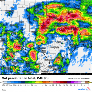
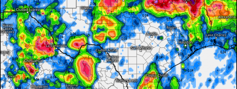
Overnight, rounds of heavy, training storms moving across eastern Texas resulted in 8+ inches of rain falling in and around the Dallas/Fort Worth area. Flash flooding came fast and furious and water rescues were needed.
The analysis above is valid for 4 am central time and is as close to present as is available right now, so it does not show the rain that fell after that time. But, you get the idea. The area affected is apparent in the relatively thin line of higher rainfall totals.
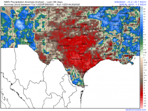
I discussed the drought gripping this region in Friday’s blog, so we know this rain was needed. However, this is really impressive:
According to NWS Precip Analysis, Dallas, TX had a rainfall deficit of just over 8 inches in the past 6 months. That amount fell in under 12 hours last night. No wonder flash flooding occurred!
Unfortunately for those now oversaturated, rain continues through the early part of this week.
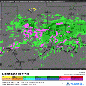
Though the heavier, widespread rain will shift south and east of the Dallas/Fort Worth along with the sluggish front later today, more isolated storms remain possible on Tuesday. And, as this boundary shifts, it places new areas under the threat of heavy rain and potential flash flooding. East TX, far southern OK, far southern AR, northern LA, and west-central MS are all under a Flood Watch through this evening/Tuesday evening depending on eastern extent.
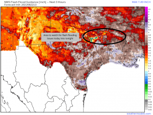
Using the Flash Flood Guidance from the NWS, we can identify an area of depressed FFG values that could indicate trouble ahead. The corridor from northeastern Texas through southern Arkansas and northern Louisiana likely has the highest probability of seeing flash flooding in the event of heavy, training rainfall.
Does this mean this is the only area that should stay vigilant? No. Surrounding areas are vulnerable as well, especially in the case of heavy, slow-moving cells. It all depends on where they set up through out the day.
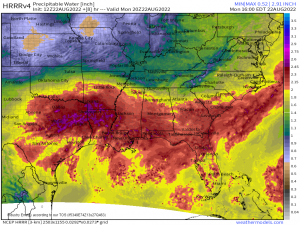
Deep moisture is available in the atmosphere today and will continue precipitating out as it meets this boundary.
If your area is prone to flooding, especially low-lying and urban areas, have a plan in case you need it. And please, do not drive through flood waters. Your life isn’t worth the risk.
