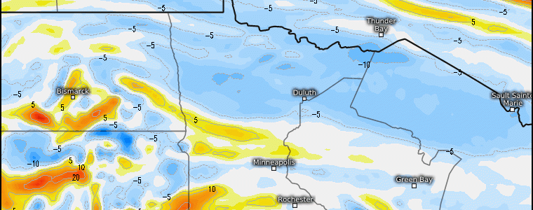
The Snow “Magnet” Region(s) Continues This Week!
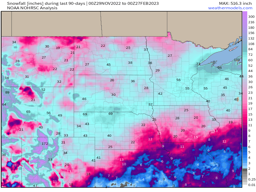
Aside from out west seeing a bountiful of snowfall this winter, the other main region that has seen in excess of their seasonal snowfall averages has been the northern Plains and Great Lakes region. Over the last 90 days, we see many places like Minneapolis, Sioux Falls, Duluth, and Bismarck to name a few, see average to above average. It’s still not even March yet, and with a La Nina background, we’re going to continue this active pattern!
As we begin from the top of the troposhere (300mb), we can not only see how we have a semi-progressive pattern with a zooming upper level jet (>110 knots from Southwest to the Midwest), but you’ll notice within the jet stream are several jet streaks that propagate along the Great Plains. Notice that in general, the left-exit region superimposes the NE, SD, MN, WI regions. As we know, we benefit from upper level divergence regarding the left exit region of a jet streak!

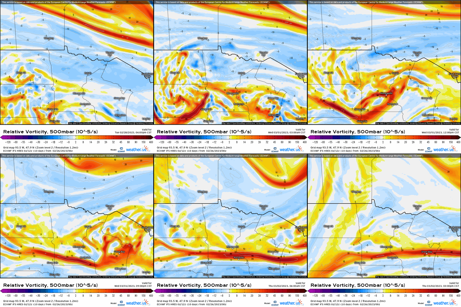
Next, we see a swift moving mid-level shortwave trough. We have here sufficient forcing for ascent with differential cyclonic vorticity advection that swings through SD, MN, and into WI (tidbit: it’s net differential vorticity with height that leads to ascent).
What this translates at the surface is a weak wave of low pressure “ride” a frontal boundary, and putting a relatively narrow swath of several inches along and to the north of the wave.
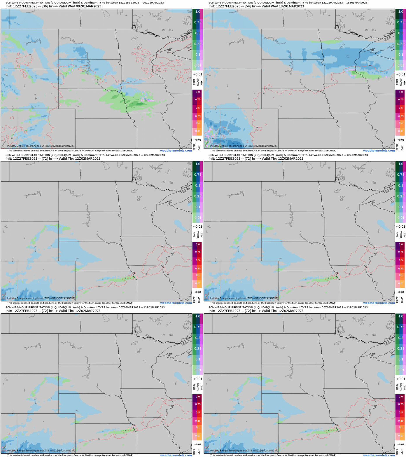
As we see a general consensus for a 2-4” / 3-6” locally higher across the general northern Plains and into the Great Lakes. General timing from west to east is tomorrow evening (i.e. Dakotas) 5 – 8pm, and into MN is closer to 9pm – midnight, progressing overnight as you head longitudinally east.
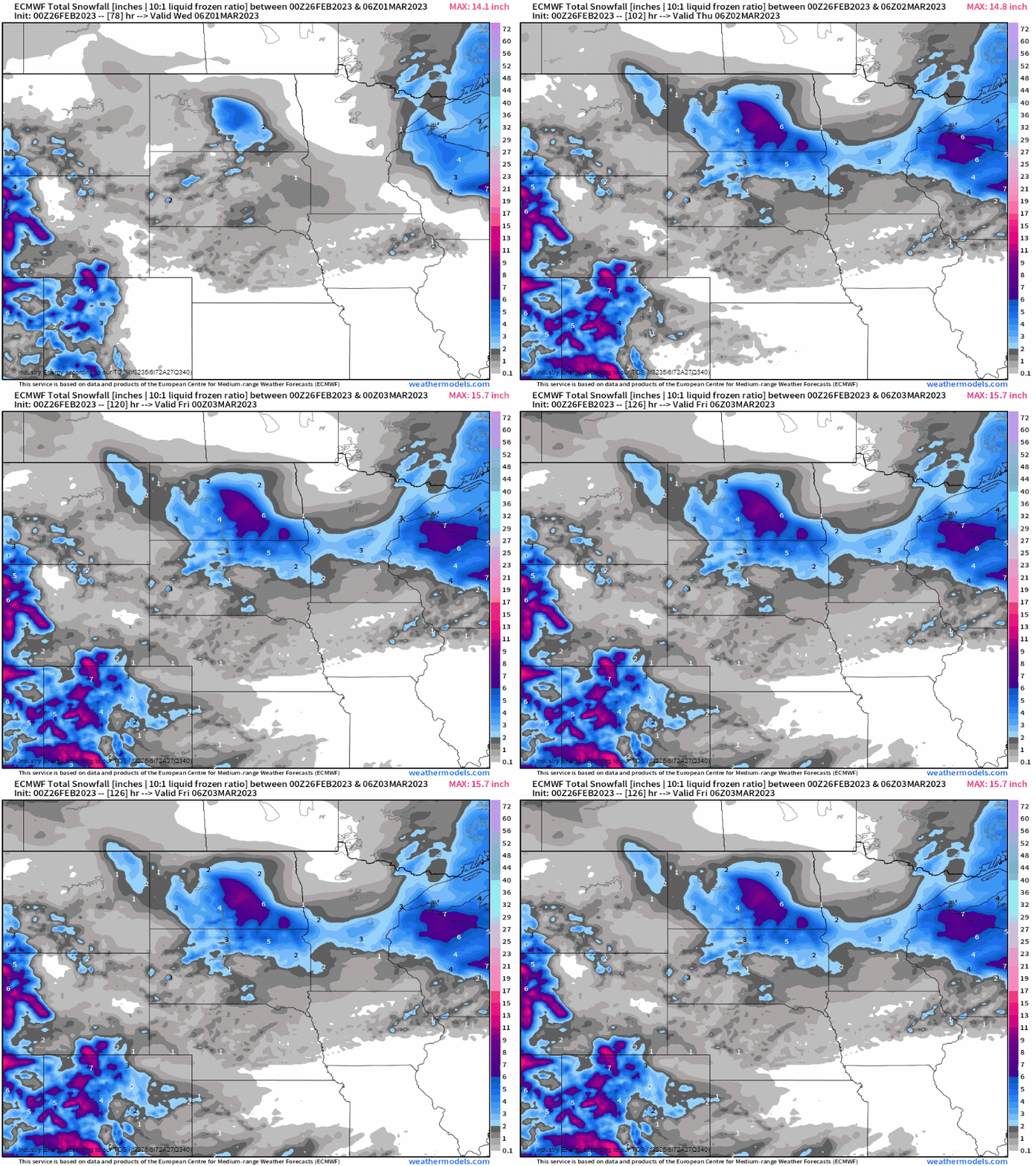
This system will wrap by through the evening by Wednesday and into early Thursday since this is considered a progressive system, but once again adding to already high seasonal snowfall totals (with places already outpacing their average winter snowfall totals). No rest for the weary in this pattern for these regions! Spring is coming….


