“Taste” Of Actual Spring For The East This Weekend?
For two days, Friday and Saturday will feel like Spring with temperatures likely soaring into the 60’s and even into the 70’s that could creep into the Northeast!
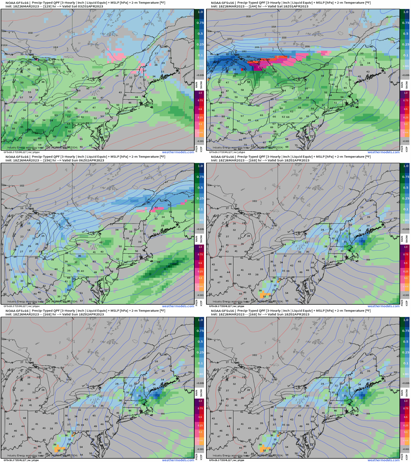
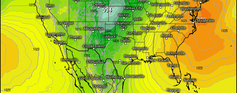
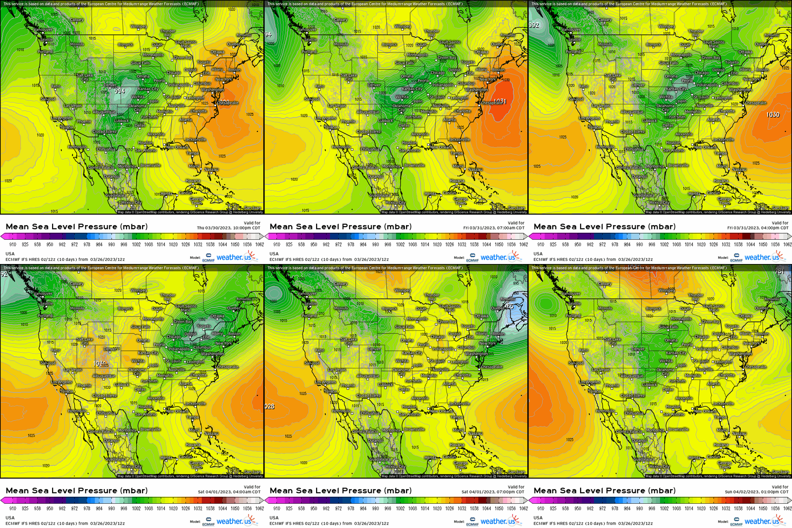
A high pressure is poised to shift offshore by Friday, which in turn promotes clockwise flow ushering in milder air from the South. In conjunction, a weak low pressure system will shift across the Midwest and into the interior Northeast that’ll drag a warm front northward, further promoting a strong warming trend.
At 850mb, we see anywhere from 5 to 20 degrees above normal that first spreads from the Midwest before shifting to the East Coast by this weekend.
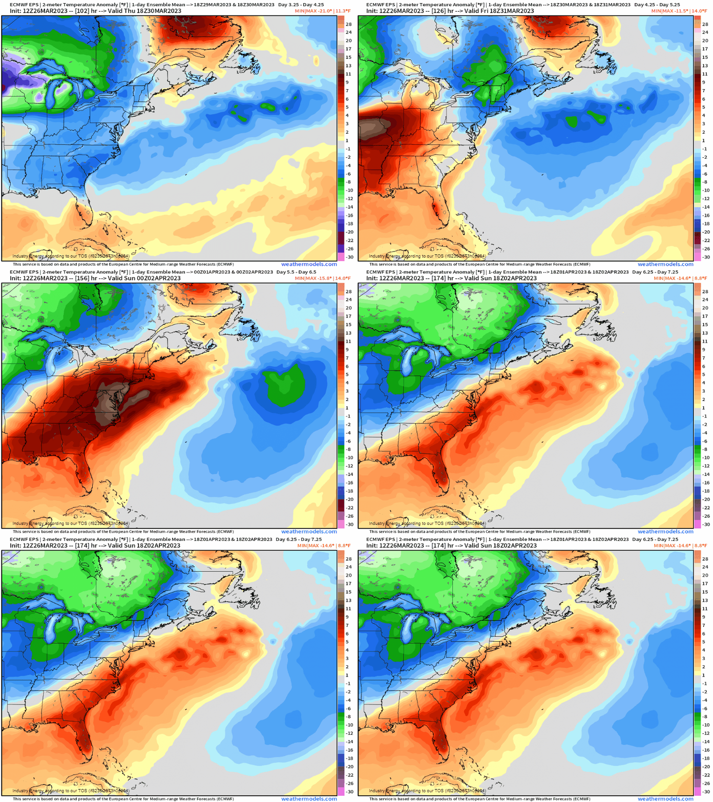
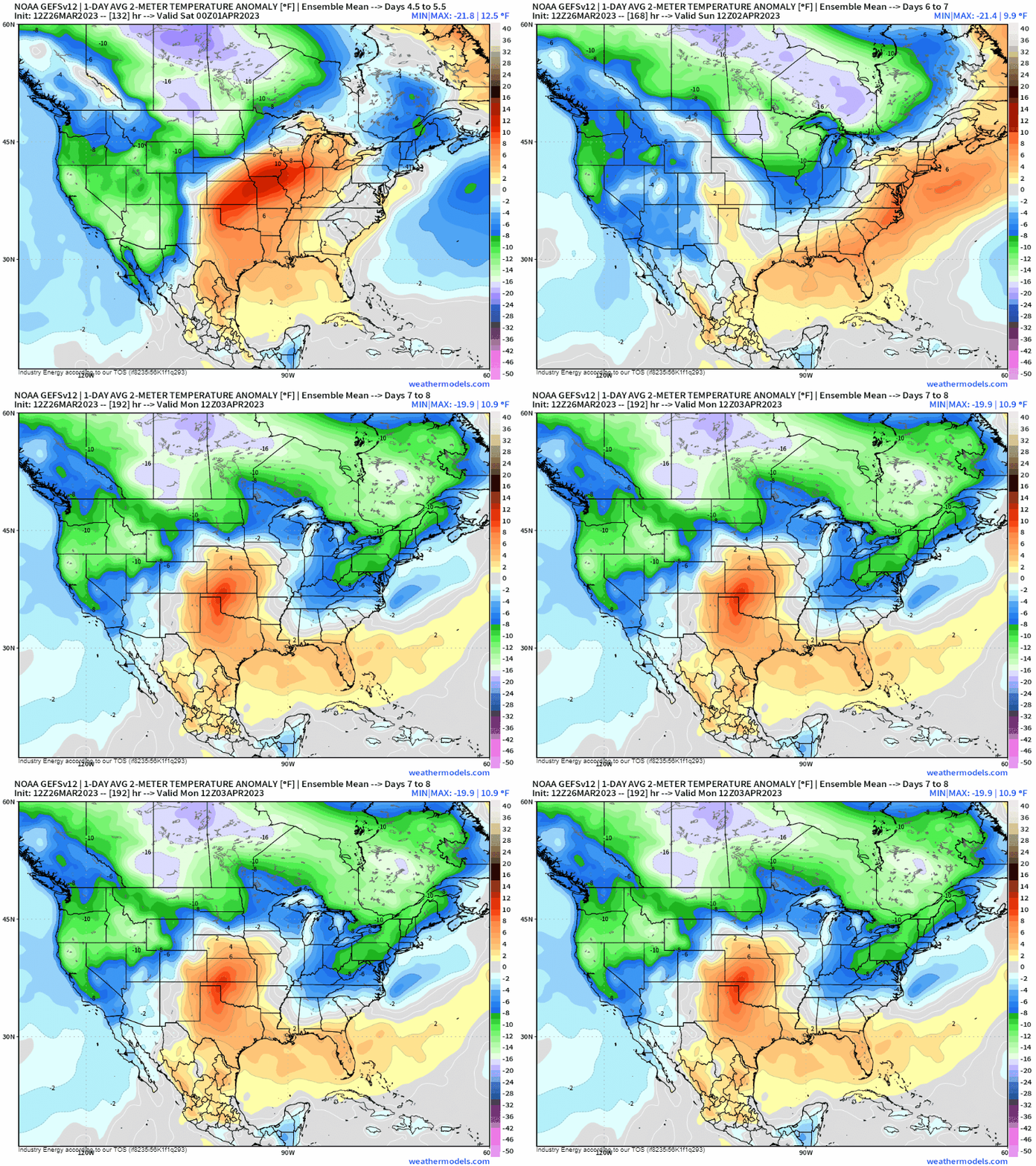
A snapshot of 1-day averages show this evolution nicely that emanates from the Midwest to the East, with anywhere from 5 to 15 degrees above average using an ensemble (so verbatim this is likely underdoing the magnitude given that this is an average of 31 members).
Verbatim the ECMWF 2m surface temperature shows the real “winner” in terms of the highest temperature output will occur Saturday as the warm front ejects further northward, with the high pressure offshore firmly entrenched by pumping southerly/southeasterly flow. Now there certainly is likely to be a cut-off in how far 60’s and especially 70’s can get as there are differences in model guidance, but at least along the Eastern Seaboard up to the Mid-Atlantic is a sure bet to really feel like Spring especially by Saturday. This will make it into the Northeast, the question is how far north does the warm front advance since on the northern side, it’ll be quite winter-like under a north/northeasterly wind and cloudy.
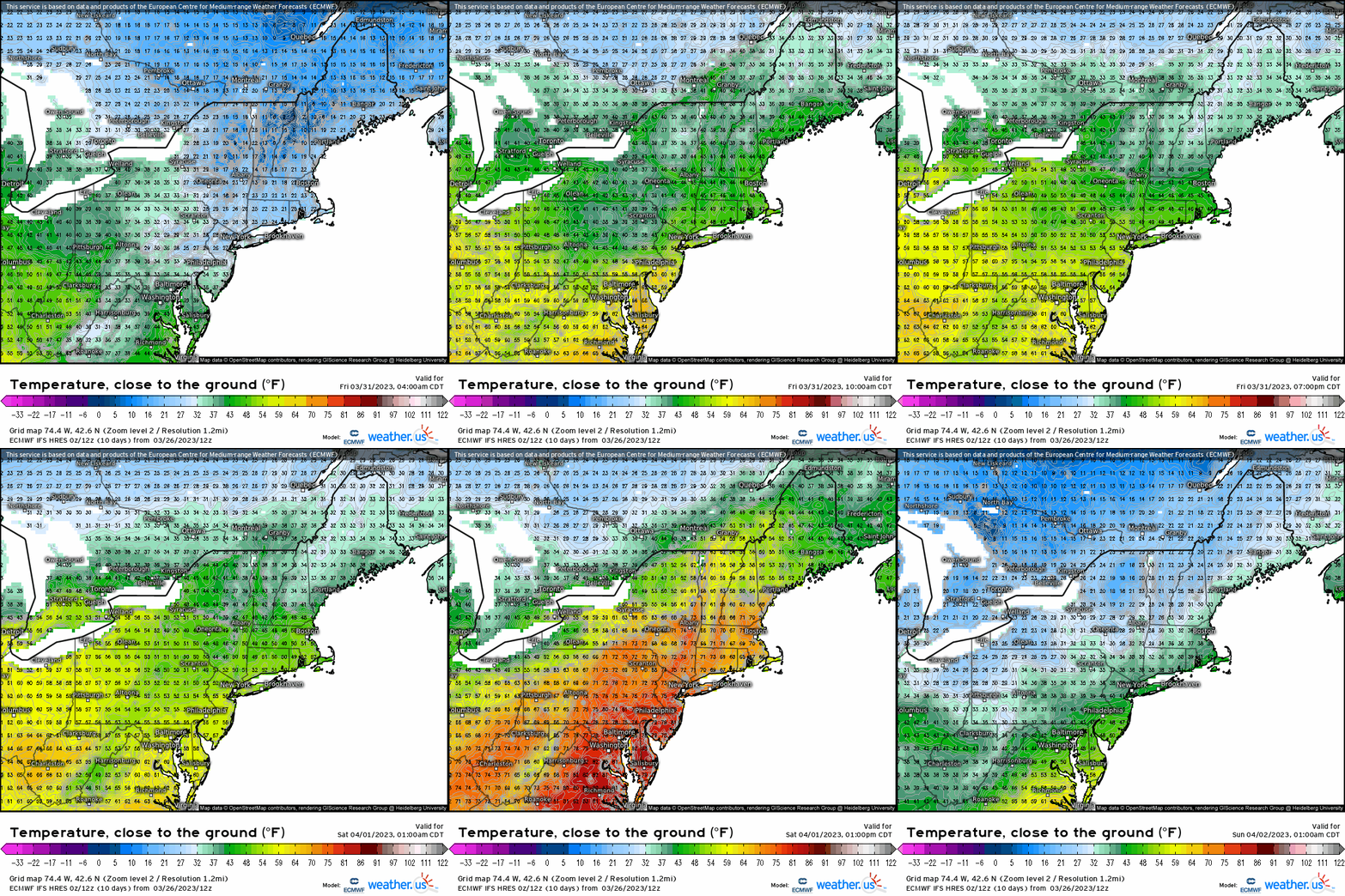
Now of course not all things can go perfect, as despite a mini warm-up, this does look to come with showers given a weak low pressure rides into the Great Lakes region. So despite the warm surge, it does come with some unsettled weather and it’s short-lived because by Sunday, we return to below average temperatures as a cold front swings through to conclude the weekend.
