Swath of Severe Storms Likely In Central Plains
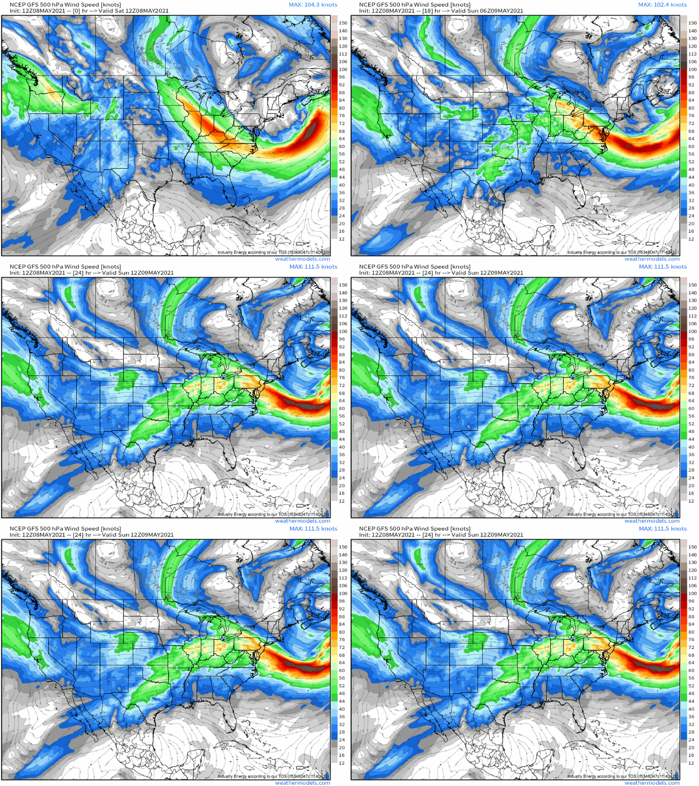
The atmosphere above the CONUS this afternoon is a mess of midlevel jet dynamics, as an expansive midlevel low over eastern Canada interacts with a negatively tilted longwave diving into the western US.
One notable response to the latter is a belt of high midlevel winds surging northeast into the central Plains, which is facilitating the removal of low-level mass from Texas to Kansas. The result is a deepening surface low there, and a broad zone of moderate to strong southerly flow.
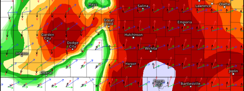
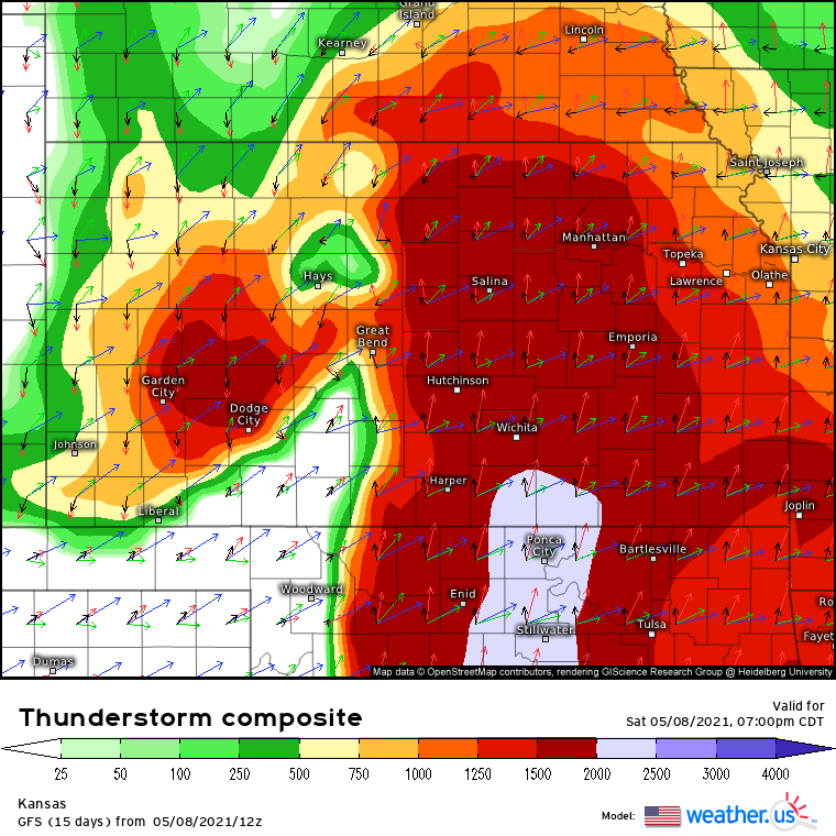
As this flow continues today, it’ll advect north an increasingly moist airmass. While moisture will be weaker than typical for such a set-up, it’ll prove sufficient, alongside a steep EML, for conditional updraft development in a swath from Texas to Nebraska.
This conditional will revolve around a cap that will prove tough to break in the absence of significant lift or CIN degradation. Soundings from the southern half of this area, especially, show a steep, tough to break inversion above the surface.
Now, above this hard-to-break cap will lie a good kinematic environment for tornadoes, with a long looping hodograph courtesy of high-end low level flow and brisk deep layer flow. Also note the fat, large CAPE, even with all that CIN biting down on it from below. This is a solid environment for convection… if it develops.
This means that fairly high-end storms have potential to evolve, but only where forcing and southerly advection is sufficient to degrade the cap. Enter the warm front, over northeast Kansas.
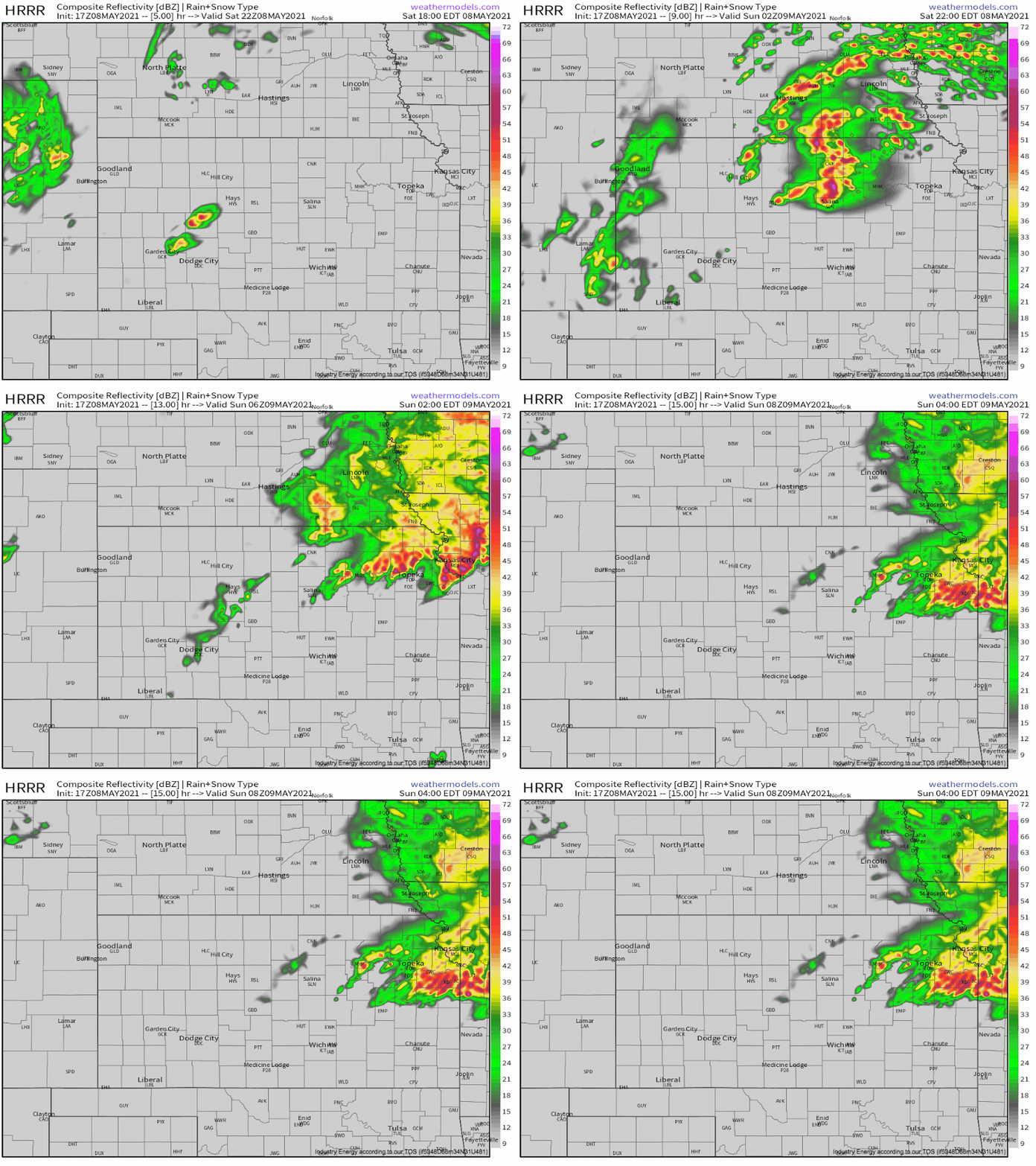
Here, numerous storms should initiate in the mid-evening, once the cap-busting combination proves sufficient for updraft development. The environment sees moderate instability, high-end kinematics, and updraft initiation overlapping, which will prove favorable for a tornado or two before storms, blown parallel to their initiation by flow aloft, congeal into multicellular clusters or even a QLCS.
That’s what CAMs like the HRRR show- explosive initiation with the potential for some rotating updrafts, followed by a rapid coalescence into clusters capable of dropping large hail and producing fairly widespread wind damage into Missouri.
To the east, over Colorado, some tornadoes could also occur with convection firing off the front range and interacting with minimal instability but impressive vorticity and favorable lapse rates.
Stay tuned!


