Summer-esque Severe Thunderstorm Risk East of Southern Rockies Today
It isn’t uncommon in July- just east of the southern Rockies, thunderstorms developing along the hilly topography encounter an environment characterized by moderate dewpoints but incredibly impressive mid and low level lapse rates. They coalesce upscale, produce swaths of damaging wind or large hail, and then weaken and collapse amidst effectively non-existent bulk shear.
With a July-looking synoptic regime evident over the south-central US, it’s no surprise that something along these exact lines will be possible.
An un-consolidated low level cyclone pulsing over the Great Basin region today will promote southerly flow east of the rockies in the low levels with southwest flow just above, moistening the near-surface to ~55ºF dewpoints while simultaneously overspreading it with a very pronounced EML. Surface temperatures near 90ºF by early afternoon will allow corresponding low level lapse rates to also reach effectively dry adiabatic, allowing moderate to strong instability to develop from the Big Bend region of TX, and adjacent NM, north into the TX/OK panhandles. This environment will actually also support the type of inverted-V low level temperature/dewpoint profile known to allows swaths of strong to significant wind gusts.
Kinematics, meanwhile, will be firmly on the low end. Even at 300mb, flow will be at or below 30 knots, with bulk shear marginal at best as a result. But forcing will be in high supply thanks to the topography of the Rockies, so initiation is more of a certainty than it typically is under that sort of kinematic regime.
The result will be a HCLS parameter space, typical of the region in, you guessed it, July.
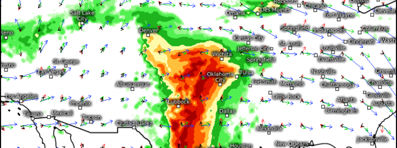
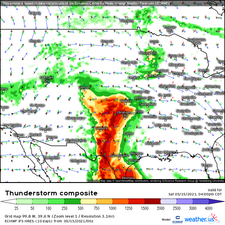
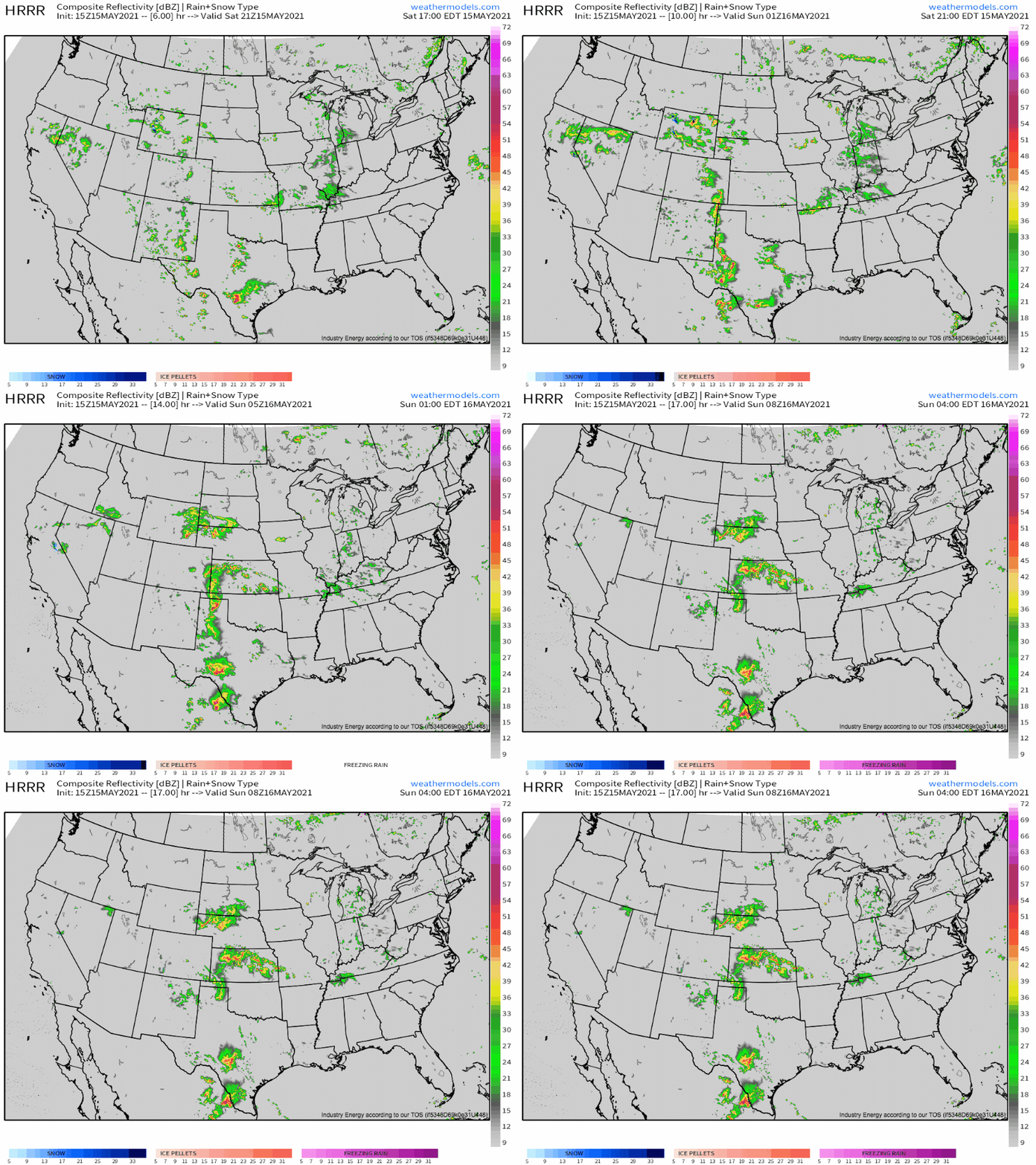
The result of this parameter space will be a number of linear segments coalescing into a very large but well-broken line, which will produce scattered large to significant hail and high-end wind gusts. These hazards will be possible from S. TX all the way to WY, but should fade pretty quickly with eastern extent as the storms move off the mountains and weaken in the poor-shear environment.


Great insight, Jacob!