Substantial Midwest Severe Threat Possible Tomorrow
Hey guys! A short blog today about what could be a fairly significant severe thunderstorm event in the corn belt.
While summer may bring to mind regular thunderstorms, the seasonal shift of the jet stream north of the US/Canadian border often corresponds with a reduction in kinematic support for the really nasty thunderstorms, like tornado-producing supercells and widespread wind-generating bow echoes. Of course, when intense dips in the jet stream do occur, high-end instability common in the summer can lead to substantial severe thunderstorm outbreaks. Such a threat looks possible tomorrow.
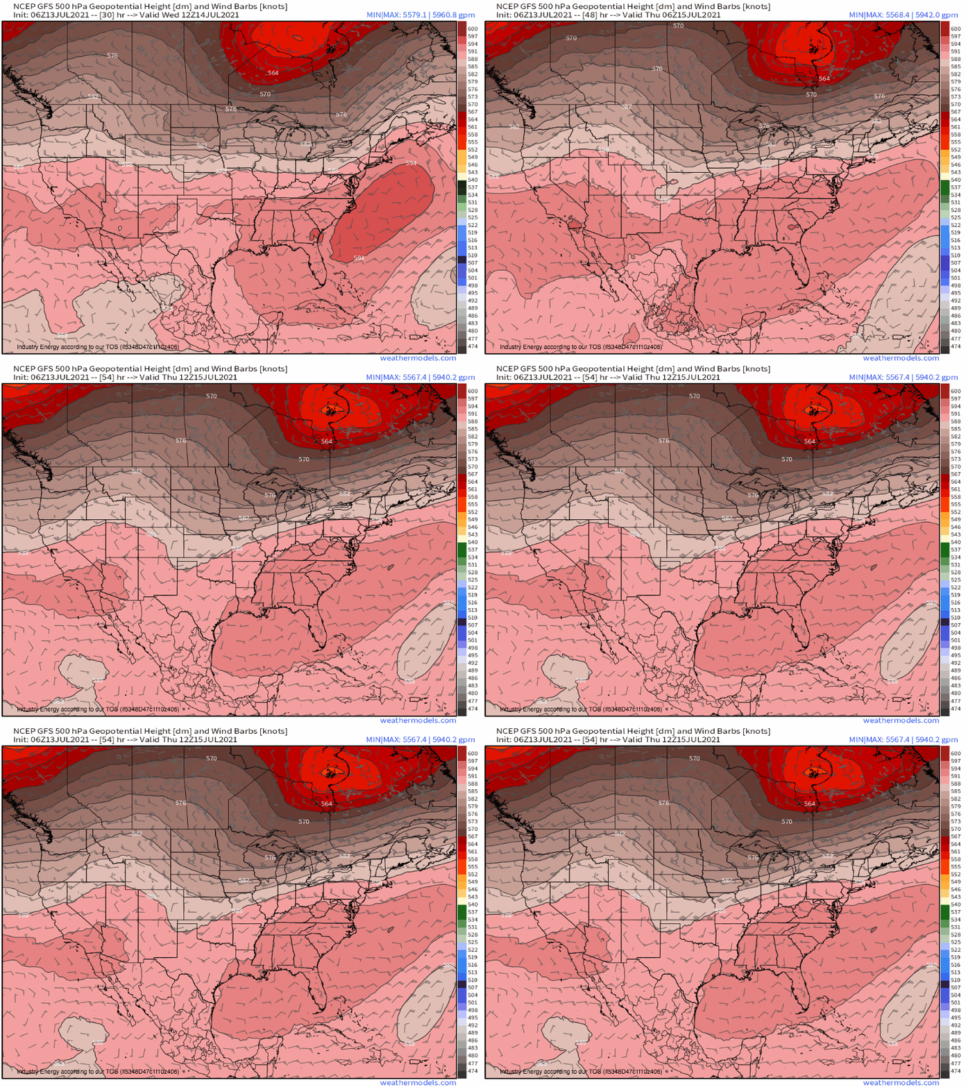
A deep midlevel trough stretches south of an intense Hudson Bay low today. As the cyclone shifts east through tomorrow, so too will troughing to the south, albeit more slowly. This speed differential at various segments of the trough will lead to a pretty pronounced W/E tilt with northern extent, stretching an exit-region jet streak over the central midwest tomorrow. Along the northern periphery of this midlevel flow maxima, subtle troughing will spur midlevel divergence.
The result will be a low-level cyclone imbedded within impressive midlevel dynamics, a setup conducive to low-level jet intensification. As this speedy near-surface flow advects very warm, moist air north into the region, southwesterly winds above will bring in a dry, rapidly-cooling-with-height airmass called an EML. The combination of the two will result in a great deal of convective instability over the area.
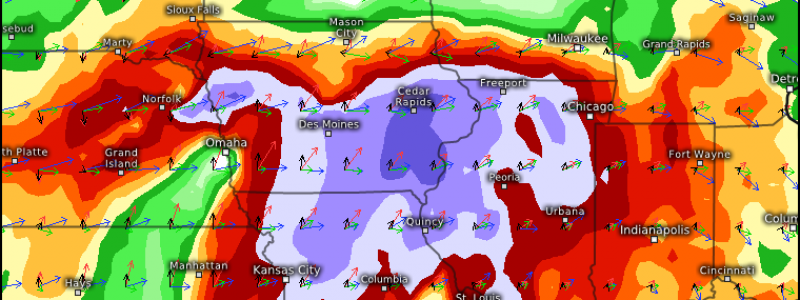
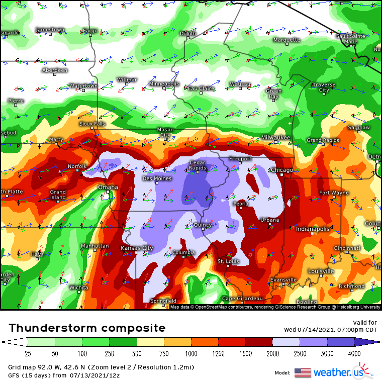
The combination of excessive instability with moderately powerful kinematics spells out a classic severe thunderstorm event. A look at the convective maps on weather.us confirm that we could be staring down one of the most severe-favorable atmospheres so far this summer.
Notice how brisk multi-layer flow, along with the stretched midlevel jet, have conspired to craft long, looping hodographs that overlap intense convective potential energy. 
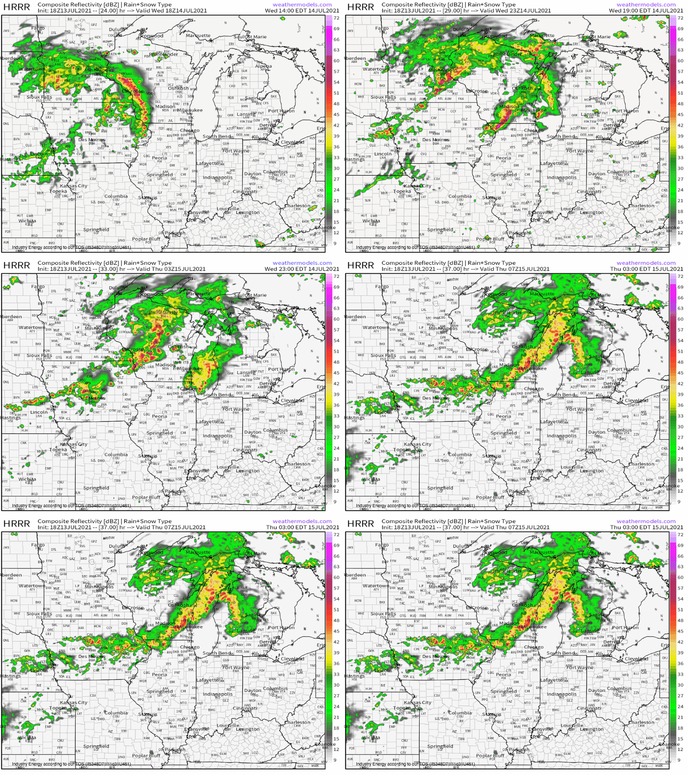
With this environment in place, I’d expect to see any initially discrete convection, likely developing along a surface boundary in the early evening, potentially drop a strong tornado. But after a relatively short time, given linear forcing and wicked instability, storms should grow upscale into a line. Strong thermodynamics and kinematics could lead to the line ‘bowing out’ into a significant, dangerous derecho, a solution with a great deal of historical precedent and CAM support.


