Strong “Equinox” Cold Front To Deliever Autumn-like Weather To The Northeast This Weekend
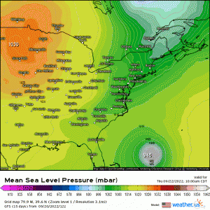
A robust cold front will cross the region today thanks to a strong digging trough aloft, and will also be responsible for steering Hurricane Fiona away from any CONUS impacts. Below, MSLP (mean sea level pressure) is shown to illustrate a tight gradient (indicated by the distance between isobars) that passes uniformly across the Great Lakes, Northeast, and Mid-Atlantic. Behind this front, strong cold air advection will facilitate gusty winds and lake-effect rain showers, as conditions still don’t completely favor snow just yet! However, frost is likely for higher elevations of the interior Northeast this weekend (Friday night especially!
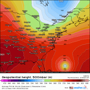
Using z500mb Geopotential heights, you’ll notice several things occur;
- A meridional deepening and digging of the mid-level trough across the Northeast with anomalously low heights centered across SE Canada.
- At the surface, this translates to a strong cold front that’ll sweep from NW to SE, ushering in below average temperatures, widespread precipitation (anafrontally-induced), and gusty winds.
- This trough “kicks” Fiona eastward, but will render a very strong and rapid transition from tropical to extra-tropical, creating a dynamic system that’ll impact Nova Scotia with strong winds and rain.
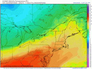
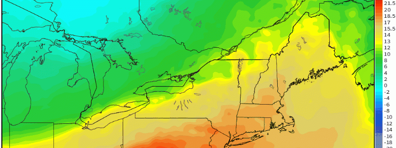
Analyzing aloft still, except lower in the troposphere closer to the boundary layer, 850mb temperatures help indicate where strong thermal advection may occur in general. Here, it’s easily identifiable regarding the 850mb cold front as it crosses the entire Northeast region throughout the day today, filtering in CAA (cold air advection) and with it, subsidence (sinking air) and gusty winds are able to transfer toward the surface in the process! This difference between 850mb and the surface is what’ll create instability to the point of seeing lake-effect rain showers and also thunderstorms/showers ahead of the surging cold front from NW to SE across the entire Northeast today. You’ll even notice if you look closely, 850mb temperatures will be reaching freezing to even slightly below freezing!
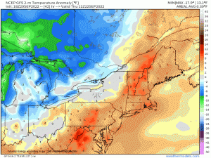
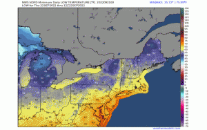
This translates to average temperatures anywhere from 10*F to as much as 25*F below normal for a large portion of the Northeast, with the latter occurring closer to the center of the lower geopotential heights of course where you’d expect the chillest temperatures aloft! The coldest day appears to be tomorrow, before slightly moderating later this weekend. High temperatures will struggle to get out 50’s and 60’s especially tomorrow across the Northeast! Lows will even reach the upper 30’s in many spots for the interior northeast where there is elevation and especially if winds are light enough with clear conditions that radiational cooling can commence; therefore, low temperatures could plummet into the lower 30’s in some spots, bringing localized frost conditions even!
Here are the forecasted NWS low temperatures through Saturday night showing widespread 30’s and 40’s right up until Sunday!
As one can see, it’s a very fitting reminder that the astronomical season of Fall is arriving tonight with the equinox being today as a matter of fact; atmospheric conditions are representative of that for the Northeast with an anomalous mid-level trough digging into the area. It’s just about time for “hoodie” season too, as summer finally concludes and powerful cold fronts become more common as we transition seasons!
