Strong Alaskan Low to Bring Heavy Rainfall and Feet of Snow This Week
A strong low pressure system, emanating from the Pacific, will impact the Alaskan coastline today through tomorrow. A sub 980mb low will crash just south and east of Anchorage, delievering what’ll likely be several inches of rain, strong wind gusts, and over a foot of snow in the higher terrain like the Alaskan range and the Archipelago.
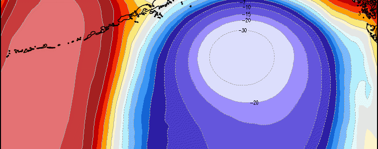
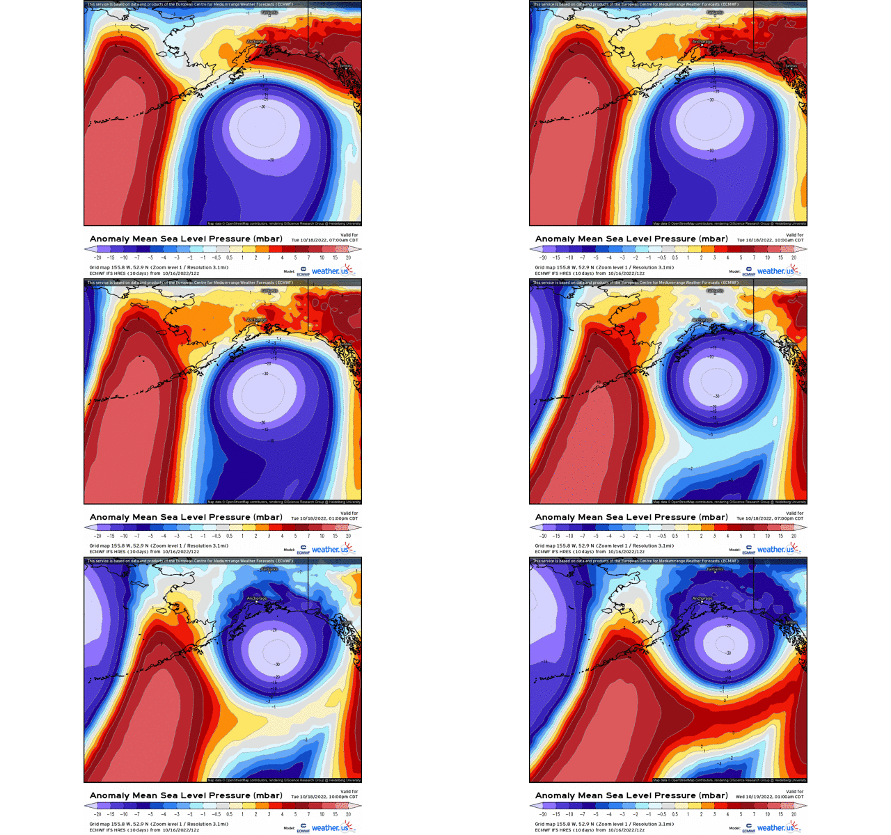
In terms of magnitude, the low pressure system verbatim ECMWF Hires model reveals a MSLP low approaching max low anomalies in terms of standard deviations – well below average indicative of an anomalous low pressure.
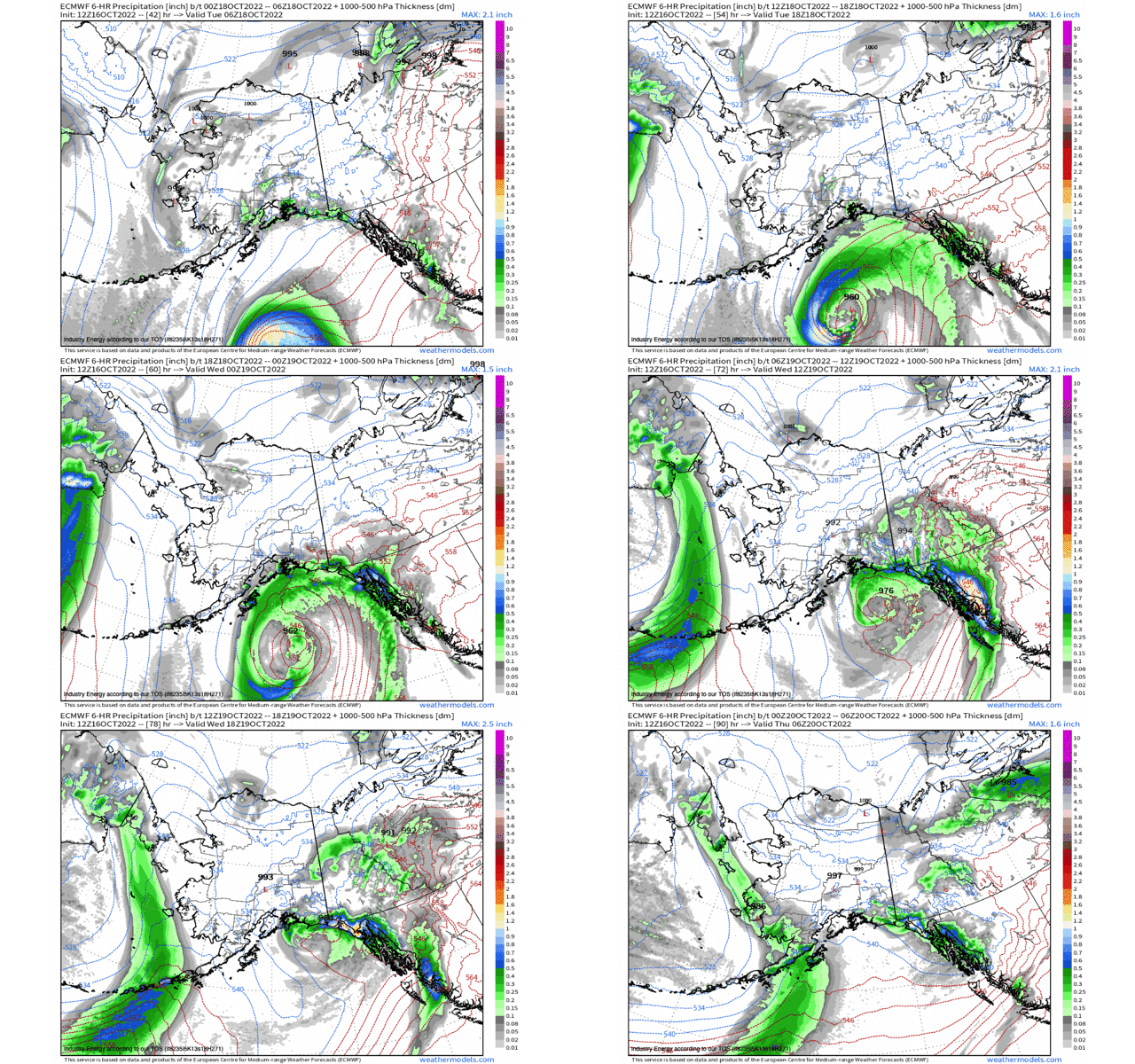
In terms of impacts and timing: low pressure enters the Gulf of Alaska later this evening with heavy rainfall bands nearing the coast by later this afternoon. The one caveat with this system is that it’ll weaken quite drastically. For instance, tomorrow morning it’s progged to be around 976mb (verbatim), but just 12 hours later, it’s nearly 20mb higher and nearly close to dissipation (rapidly weakening). However, again it’s the impacts that are more of the concern with rainfall totals exceeding several inches.
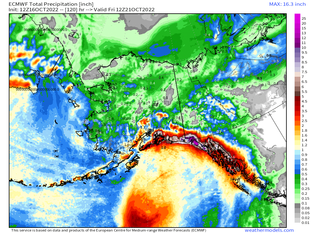
Gale force winds (in excess of 34 knots is the criteria) with gusts greater than 50mph will be associated with a strong pressure gradient as the low nears the southern coast toward Juneau. Not sure rainfall, but we’re talking feet of snow, especially in higher terrain and mountains east of Anchorage and into British Columbia!
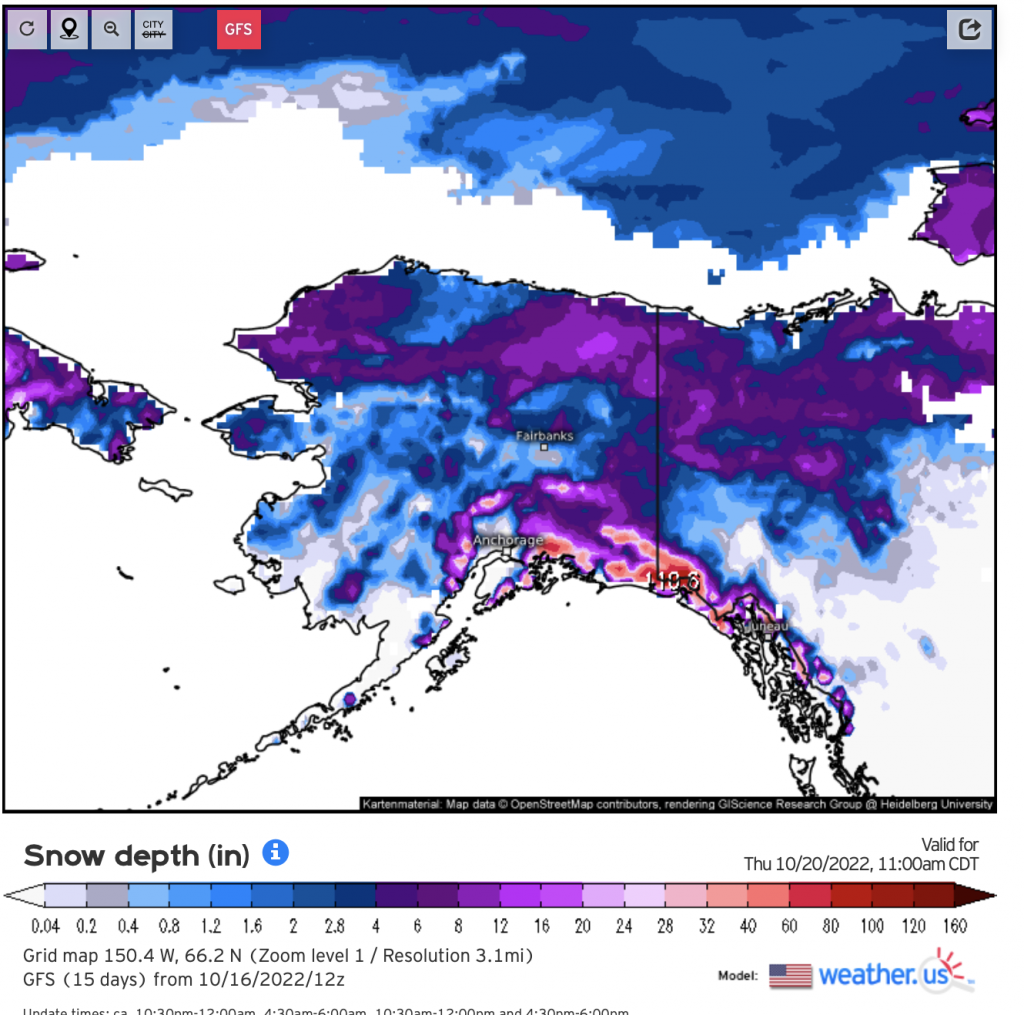
To add insult to injury, it’s thereafter that yet another low pressure system, albeit weaker, will follow on the heels of this system today rendering more precipitation and strong wind gusts as we approach Friday.


