Spring Severe Season Has Arrived
Now that we’ve gotten the latest Arctic blast and late-season snow out of the way, we can begin to look ahead to more season-appropriate weather. The atmosphere handed us a big cool down on the fall equinox, and it seems set, for now at least, to deliver a true Spring severe event directly after the upcoming Spring equinox.
The SPC has highlighted areas in the south-central and southeast US for a somewhat rare Day 7 and Day 8 severe weather outlook. For those not familiar with this, it simply means models are in agreement and confidence is fairly high that the highlighted areas will experience some form of widespread severe weather on the days in question.
The time period I’m referring to is Monday, March 21 and Tuesday, March 22.
Before we take a first look at this, just know that it’s really far too early to discuss details such as time of day, convective mode, and hazards. We’ll just look at the pattern for now. The finer details should shake out by the early part of the weekend.
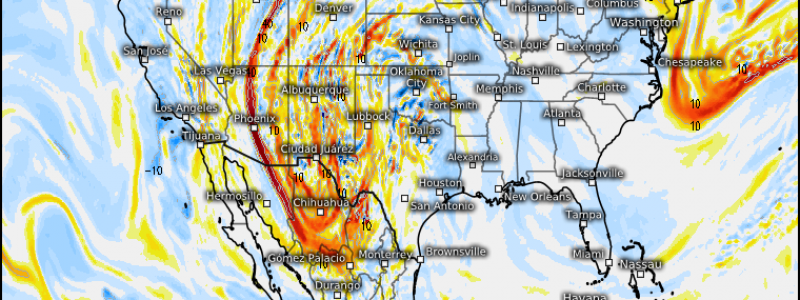
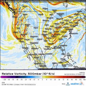
Guidance agrees on a deep-digging trough “coming ashore” over California before moving east. Surface cyclogenesis takes place during its descent from the Rockies and a neutral-tilt trough arrives in the southern Plains by Monday afternoon/evening.
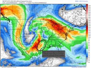
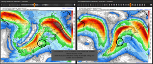
Both the ECMWF and GFS more or less agree on there being an area of divergence/diffluence in the jet stream over Eastern Texas and into the surrounding states. This diverging of the wind vectors indicates rising air at the surface, which we all know is a key ingredient for storms.
While shear adequate to sustain supercells is currently forecast, there is significant disagreement on how far north moisture is pulled ahead of the front. Currently, the ECMWF keeps the better moisture (dewpoints in the low/mid 60s) confined further south than the GFS.
This is something that will become clearer closer to the event itself. All we need to know right now is that the pattern is there.
Things become even more murky for Tuesday as the severe threat moves east.
The GFS is slower and more elongated with a less potent-looking threat than the ECMWF.
As mentioned above, these are details that will resolve with time. We still note good diffluence indicating rising air over the deep south on Tuesday. So, again, the pattern is there.
For now, we watch the trends and we approach the weekend. Hopefully by Friday, we’ll be able to fill in a few more of these elusive details. Stay tuned!


