Snow Continues To Impact Northeast as Central Cold Finally Wanes
The last week has been a sustained marathon of, frankly, horrible weather. Persistent polar air spilling deep into the heart of the nation has crippled parts of Texas with widespread blackouts, frozen pipes in Oklahoma, and shattered hundreds of daily records. Along the periphery of this frigid airmass, a series of powerful winter storms have brought the most widespread onslaught of snow and ice in at least the last two decades, with almost every city in the southern and eastern US seeing some form of disruption to travel and infrastructure. The few southeastern areas spared the winter weather, meanwhile, have seen a series of thunderstorm outbreaks that have included numerous significant tornadoes. In scope, damage, and tragedy, the polar intrusion of mid-February 2021 will surely live in infamy.
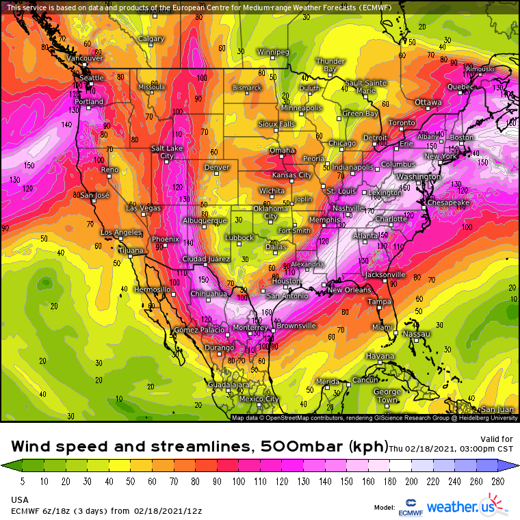
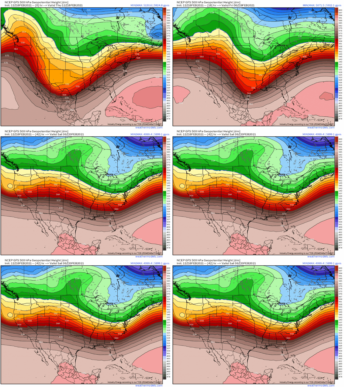
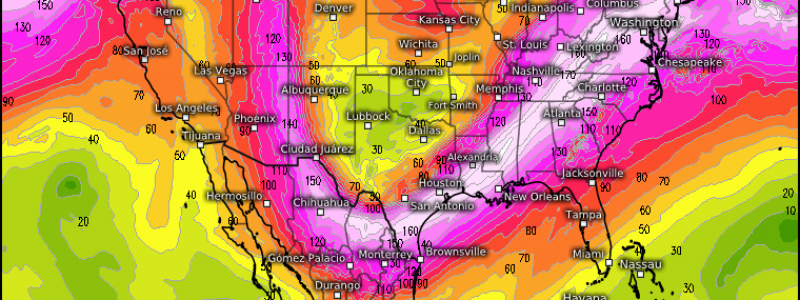
That brings us to today. The midlevel jet is still contorted into a massive longwave spanning much of the continent, blockading cold air into the central US while allow a very active pattern to continue to the east.
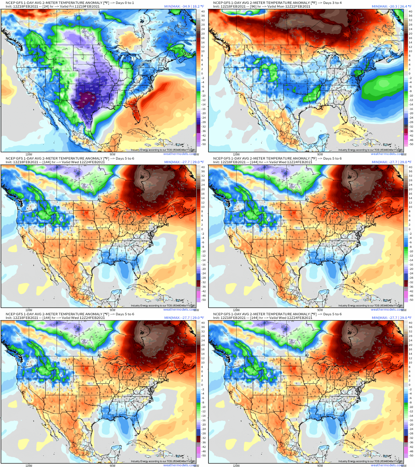
One result is yet another day of frigid temperatures greeting the weary residents of places that are, to put it lightly, unaccustomed to this degree of cold. Temperatures in Oklahoma and Texas will struggle to reach the mid 20s F today, with highs sure to remain at least 30°F below average. In these typically mild regions, temperatures will once again plummet to near 0°F tonight, compounding the immense infrastructural and human stress of a cold spell with little precedent. 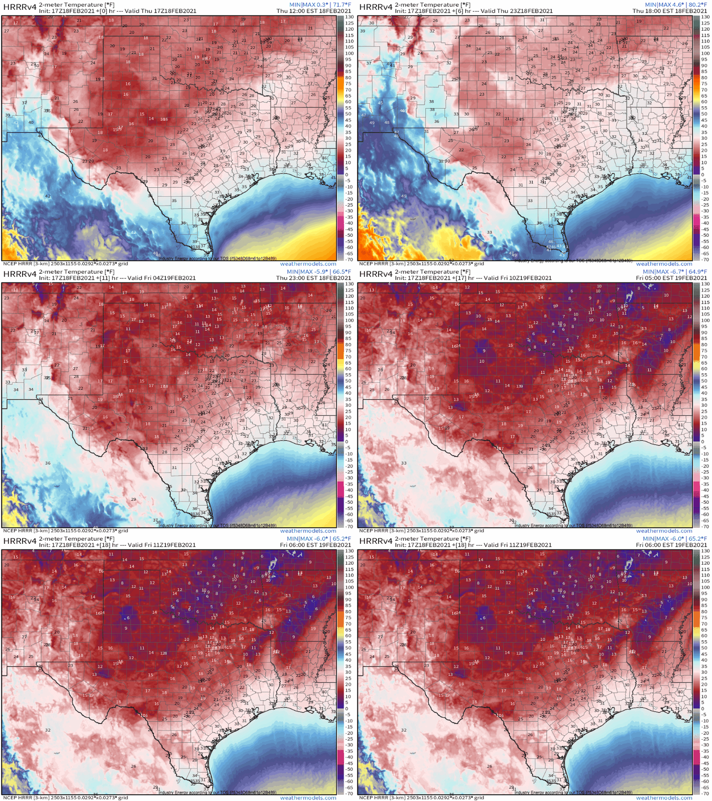
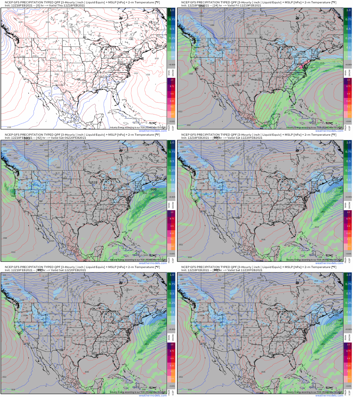
Another result is a series of fairly diffuse frontal waves that have been bringing, and will continue to bring, moderate to heavy snow across much of the I-95 corridor and adjacent parts of the northern mid-Atlantic, with a solid swath of 4-8″ accumulations likely to result.
At fault is the eastern periphery of the expansive longwave, which features a diffuse disturbance moving northeastward. The unconsolidated energy will preclude any runaway intensification, and largely strung-out forcing for ascent will instead promote a series of weak surface lows training over a moderately intense frontal boundary.
To the northeast of these training lows, snow will fall in a few rounds across parts of the northeast. The first round, this morning, spread a swath of 6-12″ of snow just north of Philadelphia, with moderate snow into parts of Long Island and Connecticut. Elsewhere, lighter accumulations of 2-4″ were common, which caused some travel disruptions but not much else.
A lull in precipitation is likely today, before a second wave along the boundary spreads another round of snow over the area tonight into tomorrow. Impacts will be largely similar- some could exceed 6″, but 2-5″ should be the norm for most. The cumulative accumulations for many areas will probably be around 4-8″, with some favored locations exceeding a foot. The best shot for that at the moment is probably north of Philly, although most of that snow already fell earlier today.
By tomorrow evening, good news for the central US at last as ridging at last forces cold air to depart. Air temperatures will quickly moderate thereafter; by the middle of next week, the cold air will likely be replaced by marginally positive anomalies.