Sneaky Severe Threat Ahead of Wednesday’s Cold Front
The long-awaited first real fall cold front is on its way.
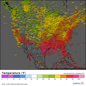
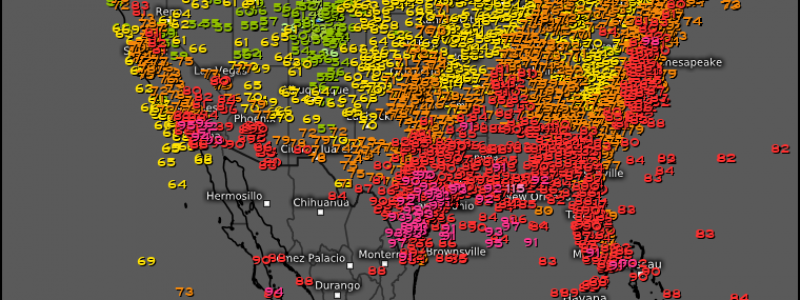
Even now we can see it in the sharp temperature contrast between a line from roughly the Great Lakes to Central Texas. Not much has changed from when I blogged about this front on Saturday. Dramatically lower temperatures and drier air, compared to the recent heat and humidity at any rate, are still expected. However, what is now also possible is a sneaky little tornado threat ahead of the front on Wednesday.
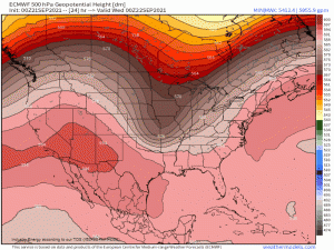
Right now, the front is an upper level trough. As it continues moving east through tonight and into tomorrow, this trough will effectively “break off” from the jet stream and become a cut-off low. It will then undergo surface cyclogenesis. In other words, it will no longer simply be an upper low, but a true low pressure system evidenced by an area of low pressure at the surface.
This low will slow and deepen. As it deepens, the low level jet will strengthen, advecting in moisture to add instability.
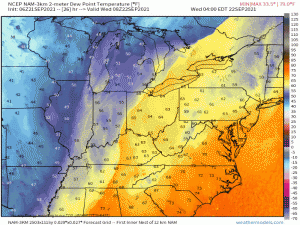
How about a visual aid? Our atmosphere is a fluid; if you know where to look, you can actually watch how this happens.
Watch that gif above. I slowed it down so you can really watch the process. If you’re paying attention, not only can you see the low forming, but you can see that moisture being pulled north ahead of it. This is only one way of a few to visualize it, of course, but I chose dew points since it’s most relevant to our forecast.
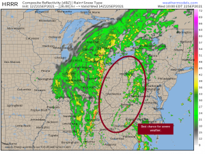
Timing is really important here. This area of the country has been humid lately, yes, but also cooler and soggy. There isn’t a lot of residual instability waiting for the spark to light it, so to speak. The LLJ won’t start cranking until closer to the afternoon hours so, the region that has a real chance for severe weather will be those who can perhaps grab a little boost to their instability via diurnal heating ahead of the front.
Assuming the HRRR is correct on timing, the circled area above stands to gain that extra instability pre-front. If the line moves more slowly, areas to the west will be in play. Faster, and that circle shifts east. Any shifts, however, will likely be minor as the forming low is expected not only to slow, but to then retrograde back northwestward. This would keep it in this area longer and perhaps prolong the threat into the overnight hours.
If you are outside of the circled area, don’t assume you’re severe threat free. Some of the terrain on the fringes of the circle is a bit complicated and can often enhance what would be weak rotation otherwise.
Beyond the tornado threat, flash flooding is possible.
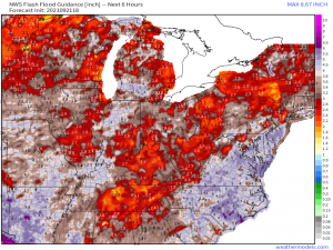
Repeated rounds of sometimes-heavy rainfall courtesy of the stalled out remains of Nicholas have more than saturated the ground ahead of the front. Any slow-moving storms or heavier downpours could cause flash flooding in areas with depressed FFG values.
Bottom line: be weather aware tomorrow. Have your weather radio ready to go and make sure you’re receiving alerts. And please, please, please don’t drive through flood waters. We’ve already had a few deaths around the nation this week due to that particular choice. It isn’t worth your life.
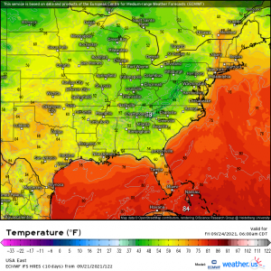
Beyond that, I’ll leave you with these Friday morning lows to look forward to:
Stay safe and enjoy the incoming fall blast!
