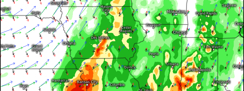
Slow-Moving Front to Bring Severe Threat to Corn Belt
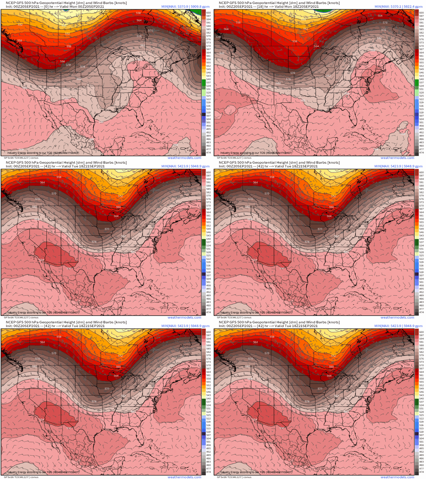
The same unseasonable trough that brought rain to the Pacific Northwest and snow to parts of the Rockies will slide towards the Midwest today, bringing medium-impact weather to a new region.
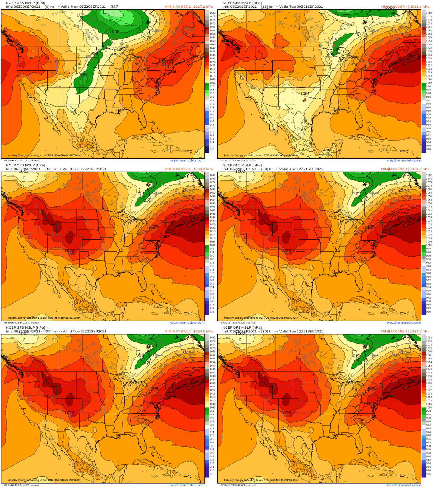
The trough’s positive tilt is still disallowing any sort of runaway divergence in the fairly diffuse lower right quadrant, which is limiting any substantial intensification of a low-level cyclone ahead of the shortwave. That being said, a slow-moving front draped south from a primary circulation over Canada will be the focus for some modest deepening today, with the southern portion beginning to accelerate east as a cold front.
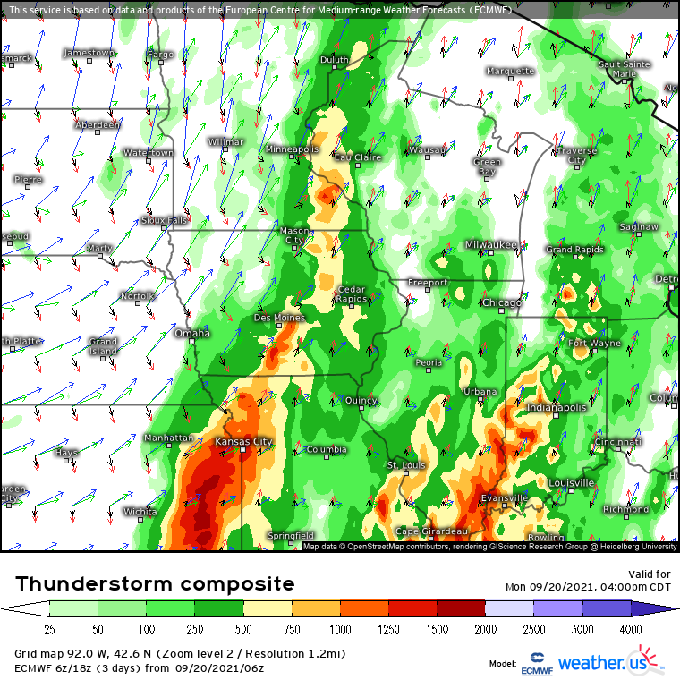
As the surface low zippers north along the boundary, brisk southerly flow due to a well-aligned low level jet will help advect in an atmosphere characterized by high-end moisture. With an elevated mixed layer also flowing in from downstream, expect moderate instability approaching 2000j/kg to spread throughout the region. As this instability is overlaid by the shearing influences of a thin but fairly powerful midlevel jet, and with increasing low-level flow responding to the pressure gradient at and just above the ground, an environment conducive for severe thunderstorms will develop in parts of the Corn Belt today.
Limiting factors include a large degree of cloud debris and stratiform showers ahead of the front, which will help degrade the EML lapse rates and limit the strongest instability to spots that see morning sun. Fairly front-parallel motion and weak capping will encourage a high degree of coalescence of storms as well, which will likely reduce the risk for strong tornadoes despite favorable kinematics and moisture.
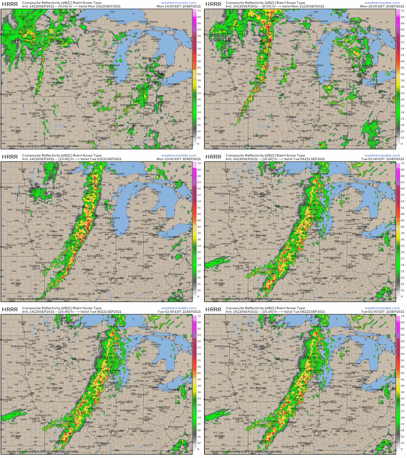
But still, the risk for scattered damaging wind, an occasional tornado, and perhaps a couple large hail reports south will threaten a fairly large area today due to the convection that develops.
Flooding will also be possible due to the ‘thickness’ of convection ahead of the boundary alongside the fairly front-parallel storm motion and slow forward progression. Combined with a great amount of moisture, some parts of the region could see several hours of heavy rain that overwhelms runoff capacity. It’s hard to pin down exactly where this might occur, but anywhere that sees training convection should keep an eye out for flooded roads and basements.
