Significant, Widespread Severe Weather Expected Today
We’re coming off an extremely active night of severe weather and rolling right into yet another severe set-up.
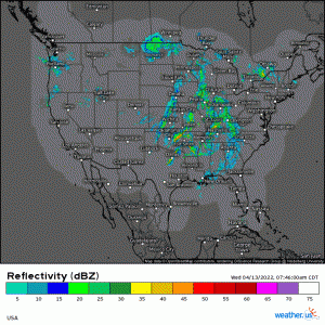
While radar doesn’t appear overly threatening at the moment, the split line currently moving through both OK and TX features some strong to severe segments.
Don’t be lulled into a false sense of security by the relative inactivity this morning. In fact, the SPC uses strong wording in their recently posted outlook: “A severe-storm outbreak is expected today into tonight. Widespread severe storms are likely across a very broad north-south region from the Lower Mississippi Valley and Mid-South into the Midwest, with atmospheric ingredients favorable for all severe hazards, including potentially significant/intense severe storms.” The outlook is here if you’d like to read it yourself.
Notice, if you will, that they did say severe storm outbreak, not tornado outbreak. This is important as it indicates that all modes of severe weather are possible – damaging winds, large hail, and yes, strong tornadoes.
I feel the need to stress the “all-hazards” part because it seems that the damage strong winds can cause is often overlooked in favor of the tornado threat. Tornadoes impact a relatively small area while damaging winds could, in the cast of a bowing line (or derecho), impact a much larger area and cause comparable damage.
But I digress. Let’s look at expectations.
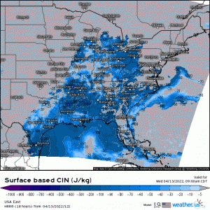
By this afternoon, not too many hours from now, instability will be on the rise and the cap in place over much of the risk area will be steadily weakening.
Broken cloud cover will allow for daytime heating to boost available CAPE into the ~2500 J/kg range. This combined with the eroding cap will allow convective initiation ahead of the front in the open warm sector. The formation of discrete cells will be possible, especially further south where the better moisture is.
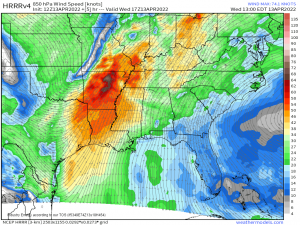
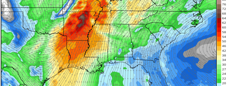
A speed max in the low-level jet will set up over the AR/W TN/NW MS/SE MO/SW KY region. With surface winds backing from the SSE and increasing winds aloft, this will lead to ample shear. Shear combined with dewpoints in the upper 60s/low 70s, an eroding cap, and early development favoring discrete cells make this region the bullseye of the potential for strong, long-track tornadoes. The large hail threat will also be at its peak here.
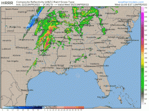
As per usual, upscale growth into a line is expected as the event progresses. The primary threat at this time becomes damaging winds with the possibility of a few (potentially strong) tornadoes embedded in the line.
Bear in mind that this is a rather large defined risk area running from the Gulf Coast to the Great Lakes. Therefore, it is hard to be overly specific on who has the potential for exactly which threat. I’ve given you the “bullseye” for the area with the highest confidence of significant severe weather, but there is also (somewhat less) confidence of the risk of significant severe weather extending further north and south of the bullseye.
This really is a day where you need to pay attention to the weather. The ceiling for this event is high, and for a large portion of the country, too. Don’t get caught off guard just because you’re a bit further away from the area of highest confidence or scariest color.
Refer to your local NWS or broadcast meteorologists for a much more detailed look at your specific area. And, as always, have multiple ways to receive warnings and be ready to shelter if one is issued.
Stay safe!
