Severe Weather Returns as May Enters
Today is May 1st, which may as well be a national holiday to us weather folk.
Climatologically, May means a few things, most of which are pretty agreeably awesome. The steady retreat of the polar jet means, barring any oddities, the populous northern third of the US finally begins seeing warm, sunny weather more often than not as April showers finally, truly give way to May flowers. Here in the southern tier of NY, month average snowfall hits 0 for the first time since September. Meanwhile, the slightly-more-important cities of New York and Chicago both see average highs quickly reach 65ºF, my threshold for wearing shorts. Finally, it often feels, we can embrace spring without fearing it’ll be ripped from our delicate grasp by yet another dip in the jet.
It also means tornadoes, which happen more frequently in May than in any other month, and spin up further north and west than they did in April. This combination means there’s almost always solid material for us weather geeks that also tends impact less populous areas than previous months, leading to less death and destruction. (of course with some unfortunate notable exceptions).
This second point brings me to the subject of this blog! After a lull that rounded out one of the least active Aprils ever, the ejecting Texas closed low followed by a strengthened southern-stream component of a split jet stream will incite severe weather in three rounds over the eastern half of the US.
The first, ahead of the closed low, will feature messy convection over the southeast tomorrow that looks more appealing for flash flooding, with a high degree of flow paralleling trough motion and front orientation, than for widespread severe weather. Still, some damaging wind and a couple tornadoes, mostly weak, appear likely.
The second, on Monday, has me quite intrigued.
With the pesky closed low finally clearing the CONUS, an extended southern stream trough swooping into the central US will prove weather maker.
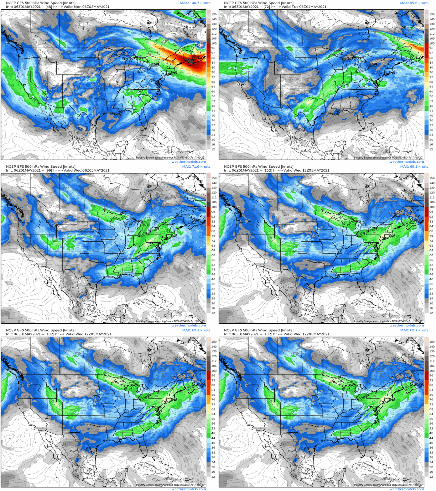
A degradation of the polar jet to the north will allow some cool air anomalies to filter well south in the midlevels, clashing with warmth amidst ridging along the periphery of the southern stream trough. The result will be a fairly intense zone of midlevel flow east of the trough, overlapping with mass removal that will accommodate strong flow lower in the atmosphere.
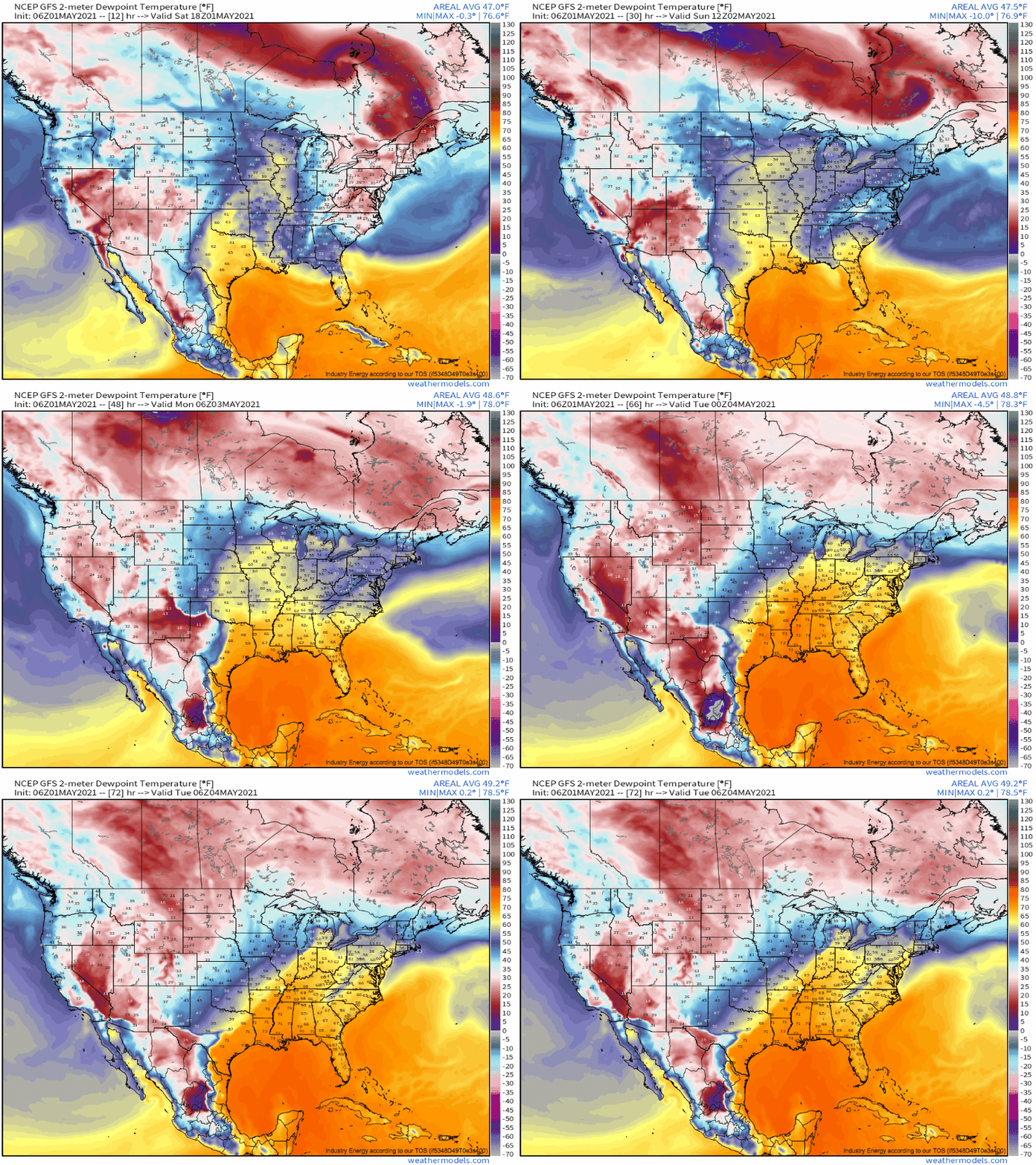
Well ahead of this impulse, a lead shortwave pared with the deamplifying closed low will flood the central US with a degree of moisture return, but broad-scale midlevel suppression will keep convection from occurring in any organized sense. But it will absolutely prime the atmosphere with high stage-setting dewpoints.
At 700mb, this strong flow will be blowing in from the SW, sourced over the mountains of Mexico. This means it will carry with it a little present to regions downwind: an EML airmass, featuring very dry and cool air aloft. Unusual for such an airmass, midlevel suppression at the hands of the closed low means the EML won’t see convective degradation upstream over the south-central US, keeping it largely pristine for day two of its journey northeast. Day two, it so happens, will see it over a wide swath of the central US, where it will be overspread by impressive midlevel flow and underspread by a strong low level jet and an impressive surge of deep Gulf moisture, intensifying the moistening that had been underway.
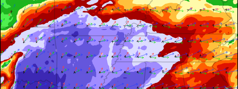
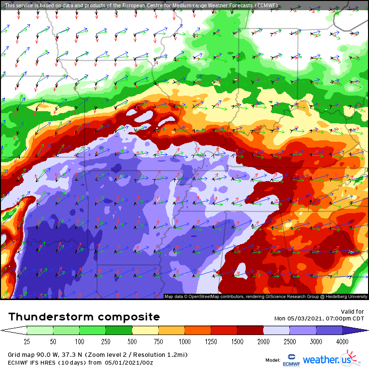
The overlap of high moisture and high lapse rates with the EML will create a wide, explosive warm sector Monday, which will be well sheared with moderate low level flow. Capping at large will keep convection suppressed early, but vigorous MWAA and forcing along the surging cold front should be sufficient to lead to explosive updraft development in the mid-evening. Over the next several hours, I expect a major squall line to roar through much of the central US, bringing widespread wind damage, large hail, and a couple tornadoes with it.
Of course, there are concerns with inherent uncertainty at this range, but at the moment, the setup looks great for widespread severe weather. Stay tuned!
Come Tuesday, severe threat could continue to press east parts of the mid-Atlantic and perhaps northeast, but uncertainty is great at the moment, so stay tuned for more on that.


