Severe Today, Cooler Tomorrow
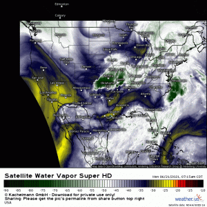
Changes are afoot this morning as a longwave trough bearing a powerful cold front digs down into the middle of the country.
Behind the front exists a cooler, drier airmass. Ahead of the front it is hot, humid, and the air is unstable. As the cold front pushes into this air through the day today, we are expecting severe storms.
The main area of concern is the Northeast/Mid-Atlantic as they are closer to the low and therefore closer to the greatest forcing. All modes of severe weather may be possible here today (hail, wind, tornadoes).
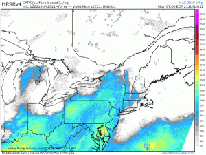
Ahead of the front, broken clouds are allowing for daytime heating and destabilization. Though a widespread 1000-1500 J/kg of CAPE is expected, there will be pockets of higher CAPE where the breaks in the cloud cover are more prevalent.
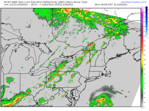
Storms are expected to kick off this afternoon as the frontal boundary approaches this destabilizing air. Discrete supercells are possible in the early stages of initiation, but are expected to evolve into lines/broken lines as they perpetuate east/northeastward.
As mentioned, all modes of severe weather are possible today. Tornadoes may be more of a concern in the earlier stages in the more discrete cells, however, a QLCS tornado in any of the lines is not out of the question. Damaging winds are possible from any of the convective lines and hail is also possible from any of the stronger cells.
Have multiple ways to receive warnings through late this evening and a plan to shelter ready to go. With damaging winds expected, it may even be a good idea to shelter for a severe thunderstorm warning as you would for a tornado warning. I’ve mentioned this before: straight-line winds can cause as much damage as a weaker tornado.
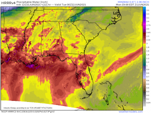
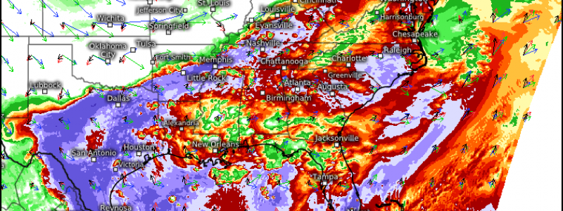
Further south in the Mid-South and Deep South, away from the greatest forcing, a lesser threat for severe weather exists. Damaging winds are a concern here, though flash flooding is also possible and is the greater threat.
With high PWAT values in place over the south, any storms forming along/ahead of the front that can tap into that moisture will be capable of outputting a lot of rain in a short time. Of course, where we see training of storms, the threat for flooding will be enhanced.
Use caution if you’re out and about later today/tonight and don’t drive across a flooded roadway should you encounter one.
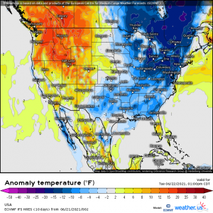
As I mentioned earlier, behind this front is a rather refreshing airmass.
By this time tomorrow, not only will the air be drier, but temperatures should be 5 to 15 degrees below normal. So, if you’re needing a break from the heat and humidity, tomorrow is your day! Let’s all get through the storms and rain today (safely) and look forward to a reprieve tomorrow.
