Severe Storms Threaten Mid-South
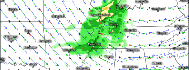
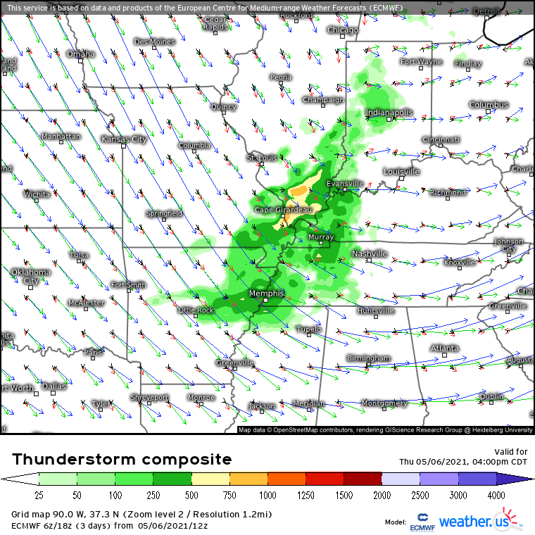
Severe thunderstorms always require the same ingredients- shear, lift, instability, and moisture. Surely, there are synoptically evident ways to get all of these in the same place- a sharp south-central US dryline ahead of a deep western trough, or a strong cold front surging through a multi-day WAA regime in the midwest. There are also sneakier ways to get the parameters in one place for severe thunderstorms, which typically requires a little bit more atmospheric maneuvering to do. One of these setups seems to be developing over the confluence of the Ohio and Mississippi rivers today.
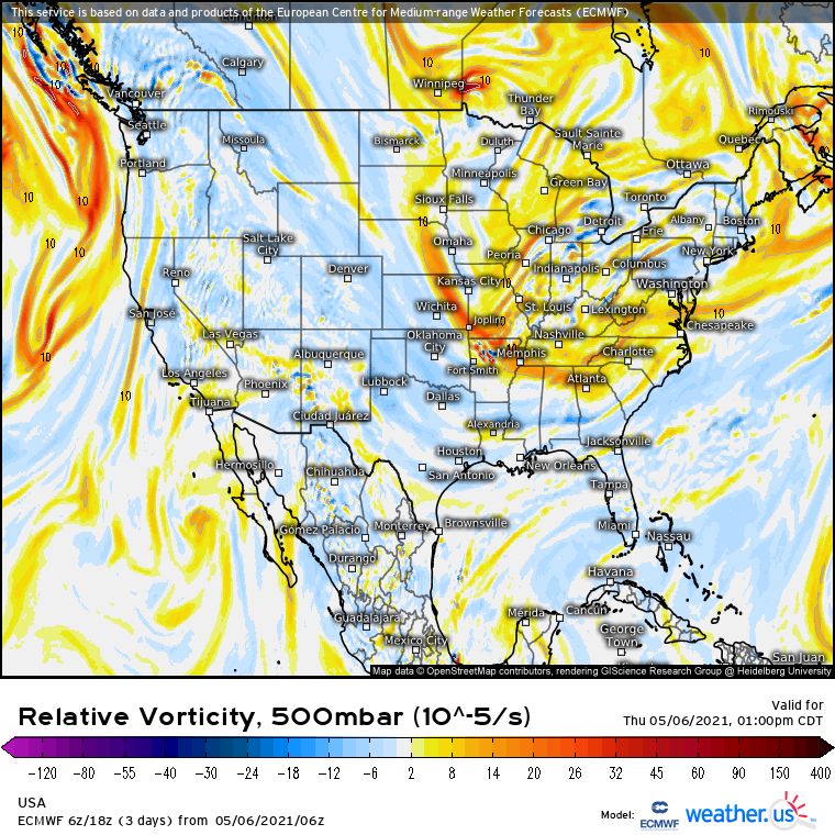
A look at the midlevels confirms that this is no ordinary setup, as the zone mentioned resides northwest of the periphery of a gigantic midlevel cyclone.
This is unusual for a few reasons: cold air advection typically rules in this sort of midlevel regime, which presents both moisture and instability. Shear is also typically pretty low due to the location of the jet to the south. Finally, convergence typically dominates aloft, which prohibits the kind of low-level mass removal that can promote lift. So, to say this regime is usually unfavorable to severe thunderstorm development is frankly an understatement.
But today, things look like they may just work out. A subtle shortwave pivoting just north of the periphery of the expansive longwave will allow surface development, which will continue to quickly move E/SE through the afternoon. Southerly flow to the low’s south will pull dewpoints around 50ºF into the area. This is certainly a limiting factor, as these dewpoints are on the unfavorable side for robust updraft development.
But an assist from above will help instability reach values at least somewhat supportive of severe weather. There is one plus side of being within a trough: frigid midlevel air, by definition, which helps steepen lapse rates and increase relative parcel buoyancy. This will allow instability in the region to grow to modest levels in spite of relatively minimal moisture.
Shear, too, will be higher than typical in such a set-up, due to the tendency of forcing to be tucked relatively close to the interior periphery of the midlevel jet.
The result of all of this will be an environment about as favorable for severe weather as is possible under the synoptic circumstances.
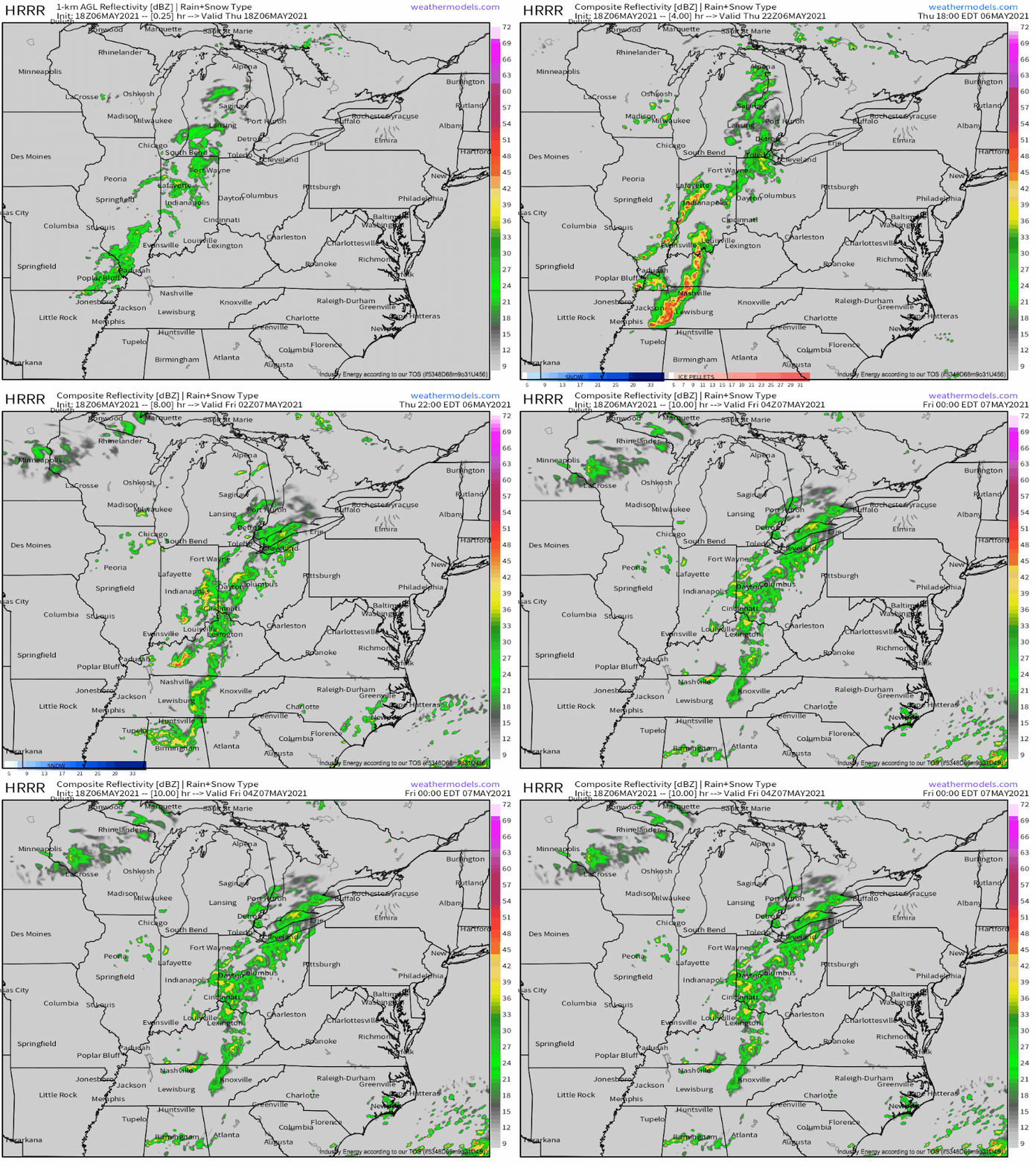
With meager, lapse rate-inspired instability and brisk flow aloft, I think marginally severe hail and gusty winds are the biggest threats with this system. If a bow can form, like what happened in October in the northeast, I wouldn’t be surprised to see a “swath” of damaging wind reports from this thing.


