Severe Storms Ahead of a Cooldown for the Northeast
The northeast has been baking under a heatwave of their own over the past few days with temperatures approaching/at 100 degrees and oppressive humidity reaching tropical levels with dew points well into the 70s. And today is off to the same start.
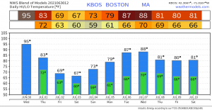
Relief is on the way, however, as a powerful cold front ahead of a trough will move through the region later today. What degree of relief are we talking about? Well, check out this 10 day forecast for Boston:
A welcome reduction in temp and humidity is coming for the 4th of July weekend. But we have to get there first and, as with any big cool down in the summer months, it often comes with the threat of severe storms first. That’s exactly what we are expecting today.
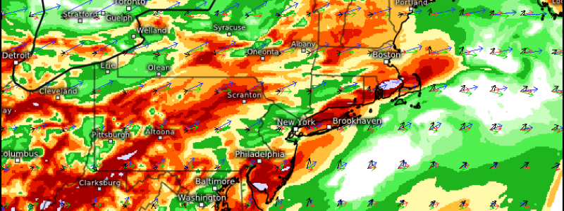
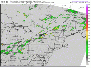
Ample daytime heating under a generally cloudless sky, CAPE on the order of 1000-2000 J/kg, and adequate lapse rates may allow for the formation of a few supercells, especially from Massachusetts northeastward, early in the event.
Damaging winds seem to be the most likely hazard and, with high PWAT values, wet microbursts may also be seen. Additionally, a tornado or two can’t be ruled out where wind profiles are a bit more favorable – specifically SE Maine, where the surface winds are expected to have a more southerly component to them.
Have multiple ways to receive warnings this afternoon and evening and remain weather aware. Consider sheltering for a severe thunderstorm warning as you would for a tornado warning as well – straight line winds can cause decent damage on their own.


