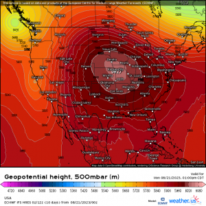
September’s Coming In Hot!
As we move into September tomorrow and the official start of Meteorological Fall, some of us cooler weather lovers will be anxiously looking ahead to the first big cold front that ushers in the first real “sweater weather” of the season.
Spoiler alert: many of us are straight out of luck for the time being.
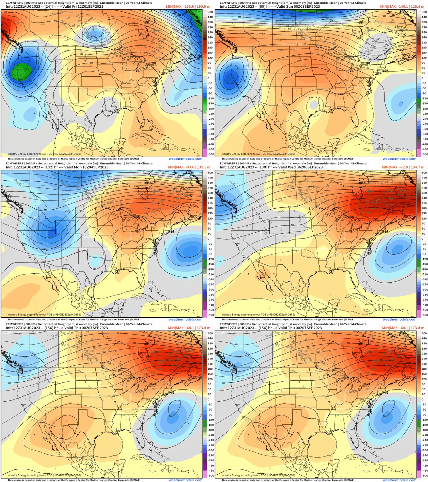
Modeling shows a strong ridge building in and settling over the Central/Eastern US through at least mid-next week.
Those in these regions might want to get their pumpkin spice lattes iced for a bit yet.
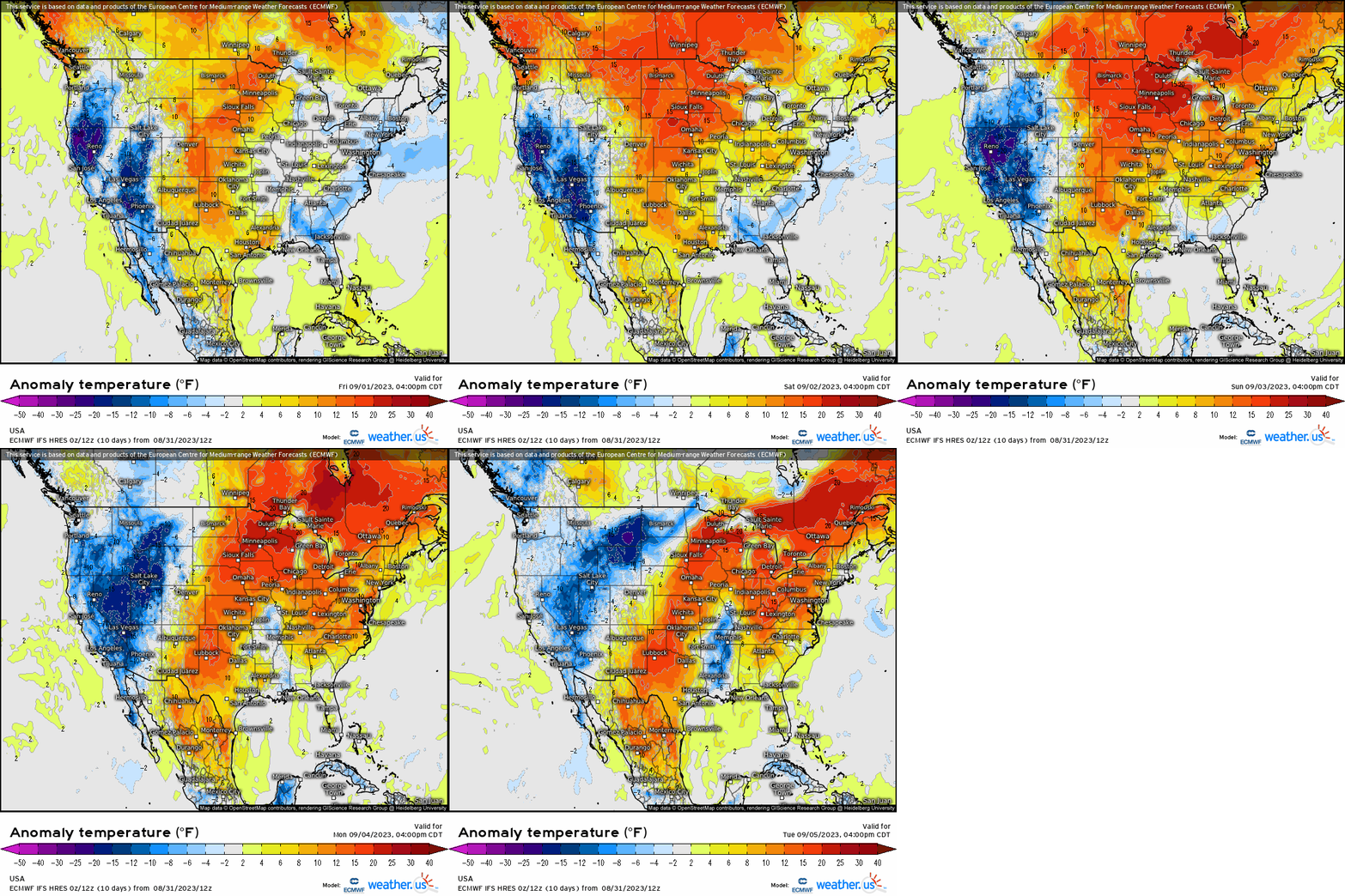
We can expect the heat to begin to build over the Central US as early as tomorrow before moving eastward over the weekend.
Don’t close your pools just yet – temps will likely top out near or over 100 degrees in the Plains and the upper 80s to mid 90s over the eastern third of the country.
However, as you may have noticed on the Temperature Anomaly map above, the western third of the US will be under the influence of troughing and therefore spend most of the week ahead below average.
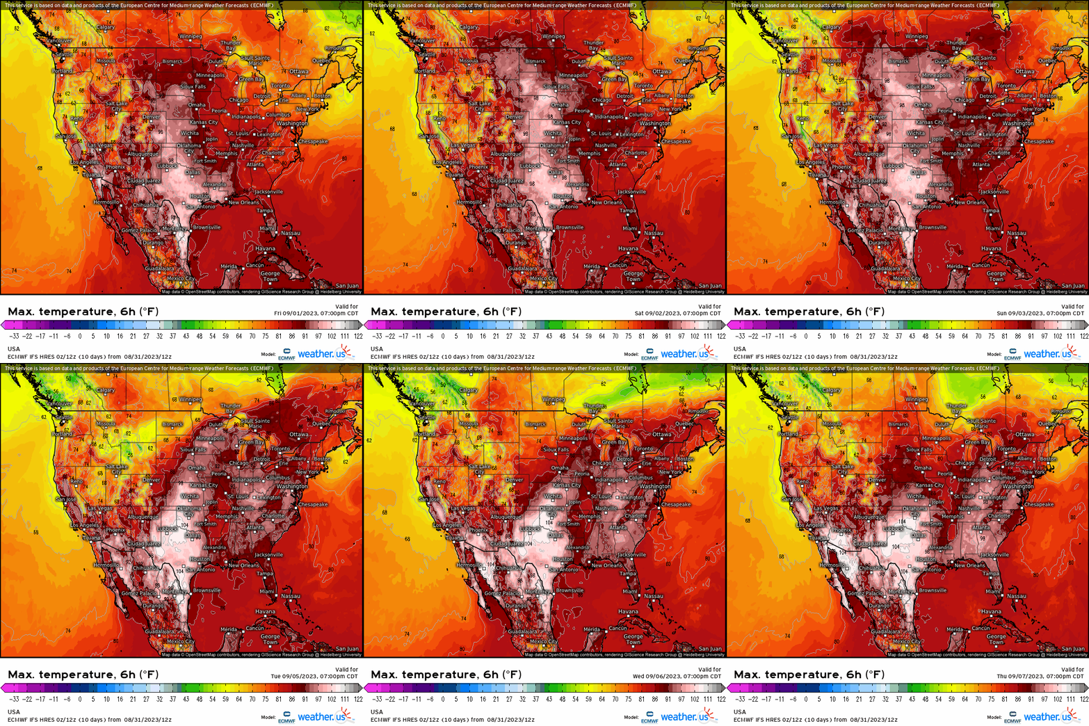
While temperatures won’t exactly be cold, most of the West will be significantly cooler than those east of the Rockies.
Is there a cooldown in the forecast for the eastern half of the US? Ensembles don’t think so – at least through the middle of the month. Of course, things can change. Or so us cool weather lovers hope.

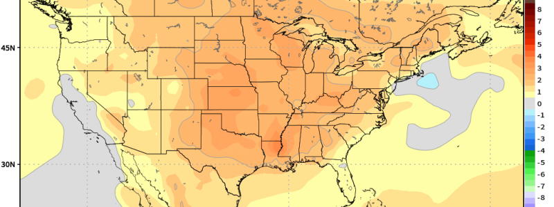
The September temperature anomaly forecast from the CFS doesn’t really give us much to look forward to, though. While there will likely (at some point) be a few good fronts, the month as a whole looks above average for almost the entire Lower 48.
Keep those summer clothes out of storage for a little while longer!


