Sensible Lull Continues, But Severe Weather Could Return Next Week
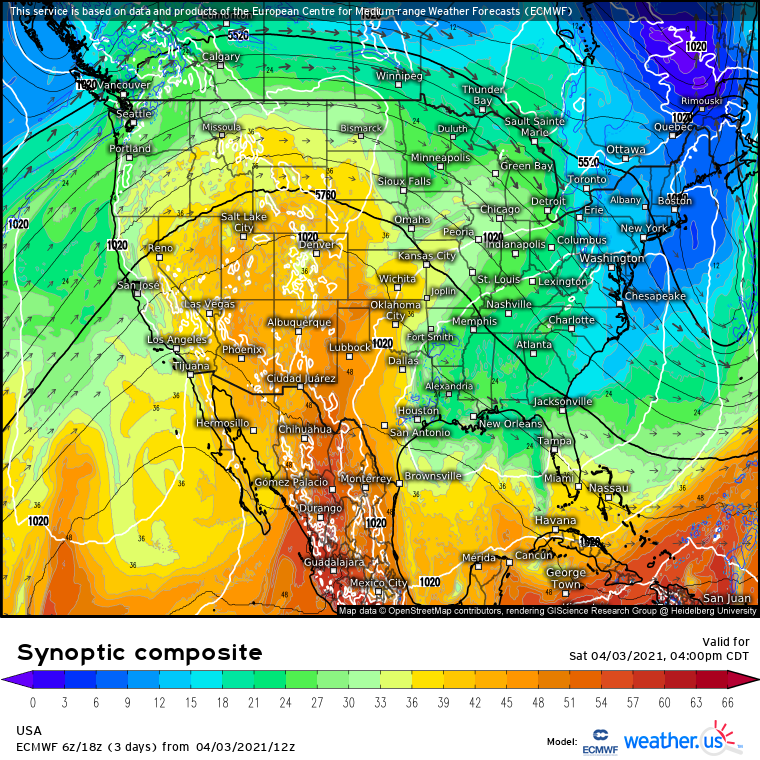
The western United States continues to be dominated by a dome of high pressure today, with increasingly ‘squished’ troughing continuing over the east. Under the former, Pacific flow mixed with southerly advection amidst sunny skies means temperatures are well in excess of average for this part of the year, and daily records are being approached or exceeded near the Canadian border. Under the latter, chilly midevel air and northerly or stagnant flow means, despite sunny skies, temperatures are still a bit below normal.
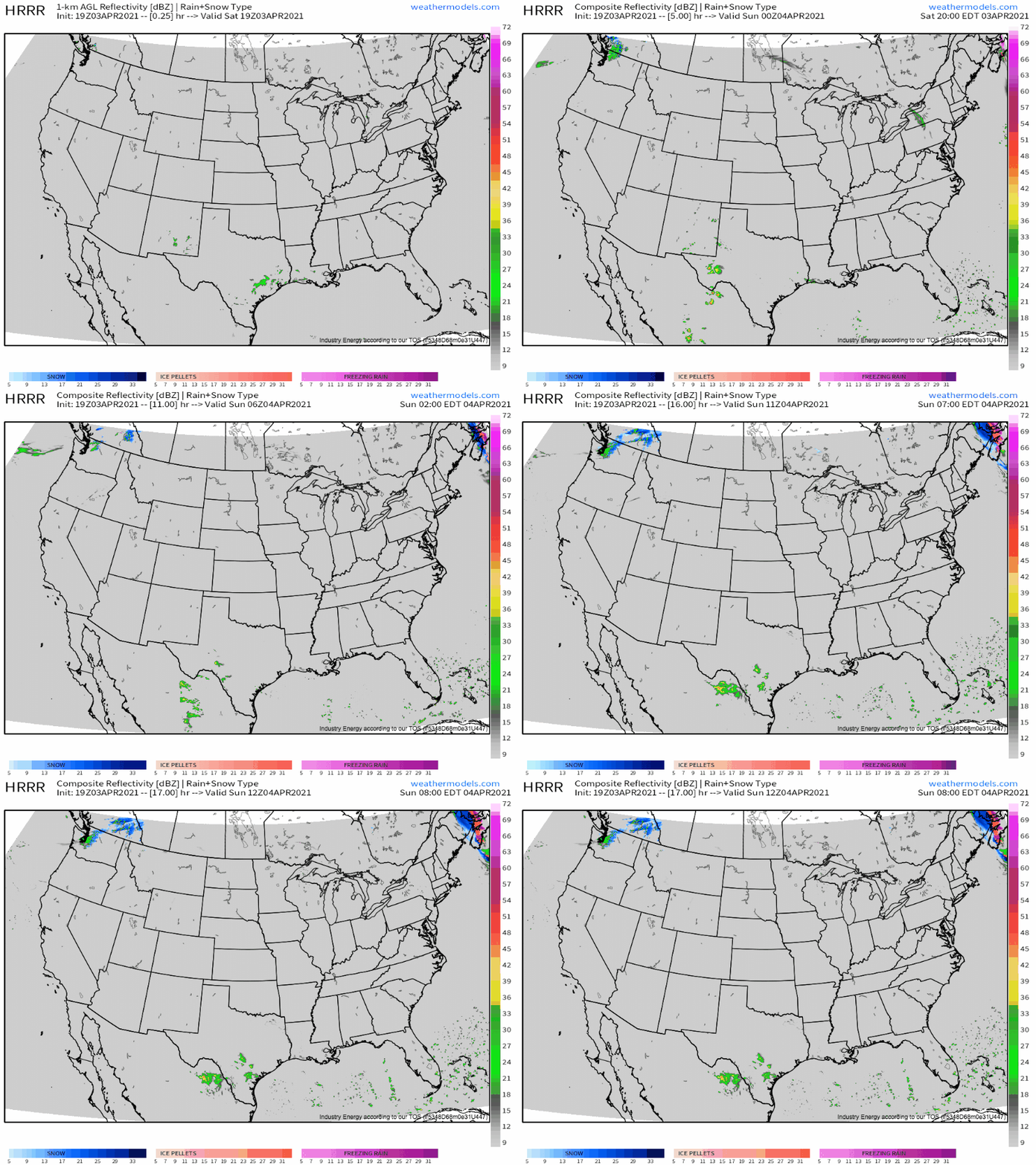
One thing true across the different atmospheric regimes is broadly sinking air and a lack of moisture, leading to yet another day of very little sensible weather.
How boring!
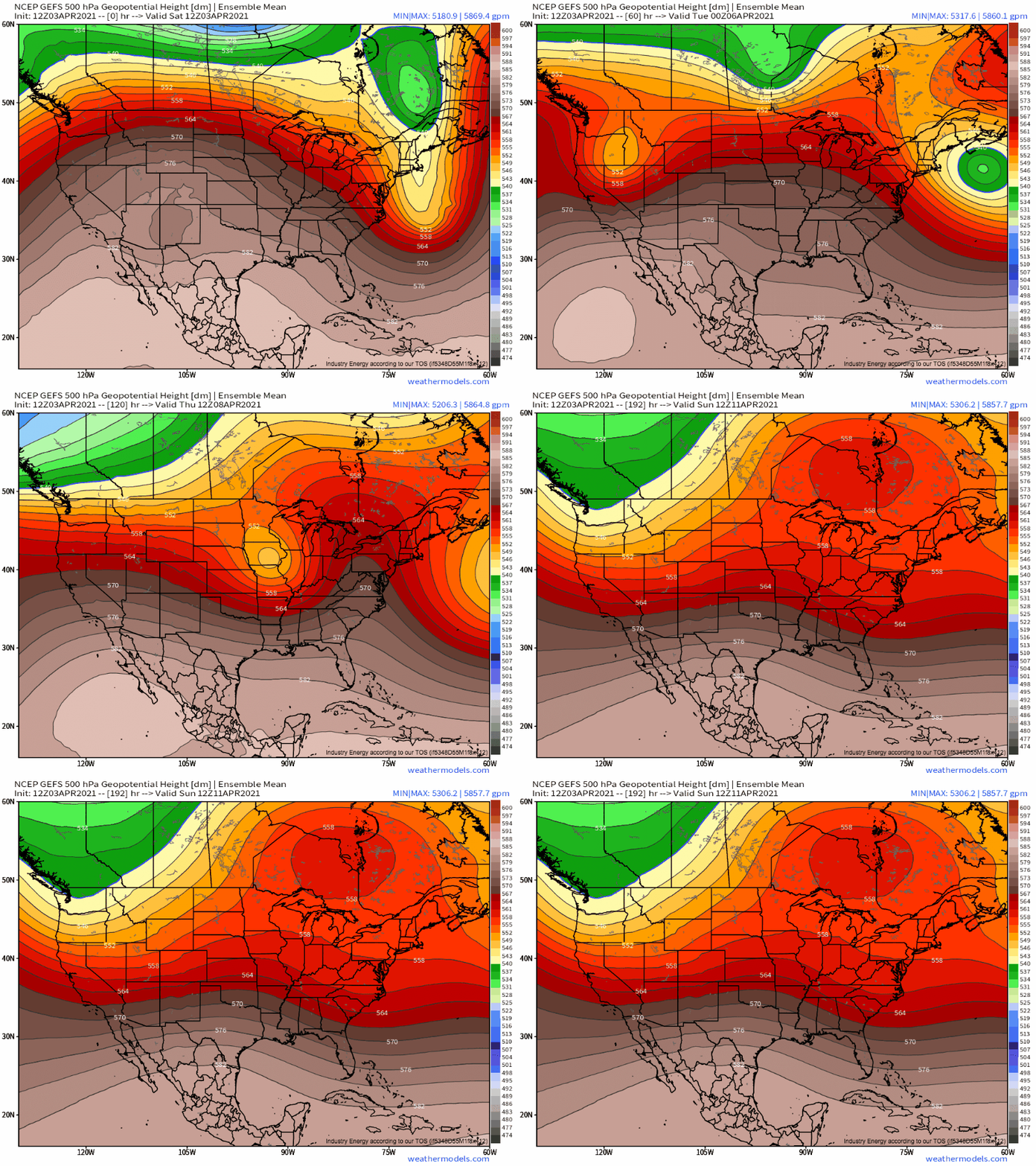
This pattern will change, though, as the ridge finally caves to west coast troughing towards the beginning of the work week. A rather intense closed low will likely shear off an intense but low amplitude Pacific jet, before slinking quickly southeast towards the Rockies late Monday.
As the cyclone shifts through the western US, the jet impulse that spawned it will race east near the CAN/US border. This will encourage an uptick in mass removal across the northern Plains, which will incite the development of a southerly low level jet by late Sunday that should serve to begin re-introducing Gulf moisture into the region.
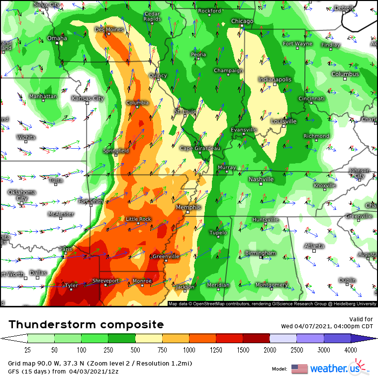
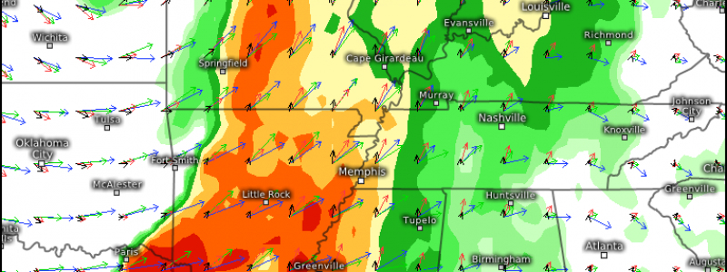
This means that, when the closed cyclone eventually pivots through the central Plains, it will incite cyclone development in an area already primed with antecedent moisture return. Increasing pressure falls will strengthen low level flow, and the result will be a fairly robust low level jet that will simultaneously pull dewpoints higher while also inciting the development of long, looping hodographs. With speedy 500mb flow downstream of the compact but impressive midlevel cyclone, the stage could be set for a severe thunderstorm outbreak.
We are still quite far out from next Wednesday, but those from ArkaLaTex north to Iowa and Illinois are encouraged to assure they have a plan in place for severe weather, possibly including tornadoes.
Stay tuned- we will surely have more on this developing threat as it draws near!
