Ridges, Troughs, and Tropical Systems, Oh My!
Good Wednesday morning!
Yesterday was a stressful day all around so let’s focus on some good news first, shall we?
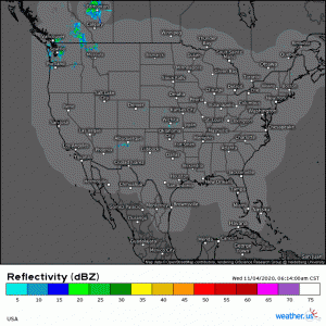
(link: https://weather.us/radar-us/usa/20201104-131400z.html)
A quick radar check shows us that, generally, nothing of note is going on currently in the CONUS. And that’s okay! We need a quiet weather day now and again. But, wait! It gets better. Though it’s starting off chilly this morning, we will warm up nicely in most places this afternoon.
The warm temperatures combined with the lack of any significant weather happening make it a great day to get some time outdoors if you can. Maybe eat lunch outside or take the kids to the park after school. Soak it all up, because, at least for the western half of the US, it won’t last.
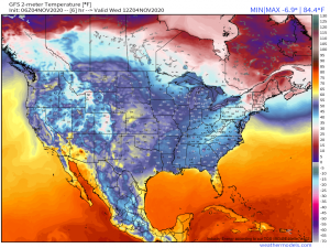
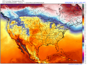
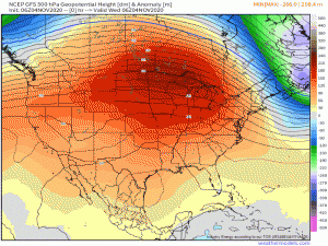
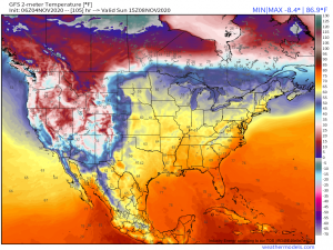
As you can see in the gif above, we are currently under the influence of a strong ridge. That’s what is bringing us the warm temperatures and quiet weather. But as we progress toward the weekend, a trough begins to slide in from the west. It will bring much colder temperatures and even some snow to the western US.
By the end of the weekend, a decent portion of the west is at or below freezing while the east remains warm in the 60s and 70s. The high pressure influencing our ridge will hang out for a few days, possibly even into the middle of next week, which will keep the east in above average temperatures and generally dry.
The speed at which the high exits is influencing a lot more than our temperatures and precipitation, though. Hurricane Eta, which made landfall yesterday on the coast of Nicaragua, is forecast to survive its journey through the mountainous terrain in one form or another and then re-emerge into the Caribbean over the weekend.
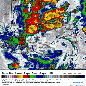
(link: https://weather.us/satellite/honduras/top-alert-superhd-15min/20201104-1320z.html)
Currently, Eta is a scattered, soggy mess inundating Central America with ridiculous amounts of rain. The center of circulation is still intact, though, and is forecast to remain that way as it exits back into the Caribbean. But what’s next then for Eta, round 2?
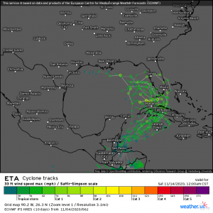
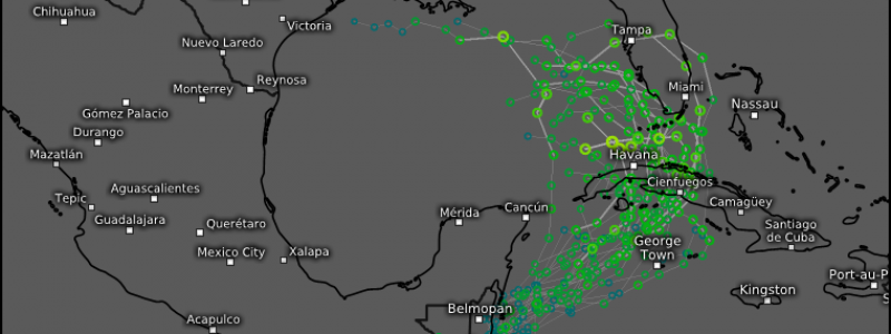
(link: https://weather.us/cyclone-tracks/euro/902-w-263-n/2020110406-240-eta.html)
The general agreement is that Eta will enter the Caribbean and then be pulled northeast, at least at first.
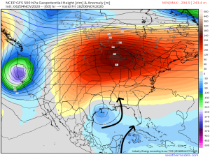
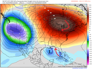
An upper level low is expected to form over the western Gulf of Mexico later this week. Assuming that happens, the counter-clockwise rotation will initially steer Eta to the northeast, possibly across Cuba. Eta is then expected to interact or maybe combine with the upper level low. A lot depends on this interaction.
It could turn Eta north, making a southern Florida landfall a reality. If it fails to do so, the high pressure and it’s clockwise flow over the Eastern US could take over the steering wheel, so to speak, and turn Eta toward the upper Eastern Gulf. As I stated before, a lot hinges on these interactions. The formation of the upper low and the placement of the high pressure with both have a profound impact on Eta’s final destination. Your take-away here: It’s simply too early for a solid end-game forecast. However, somewhere in the eastern gulf or south Florida is a likelihood so the aforementioned locations need to be on high alert. Start putting your plans in place now.
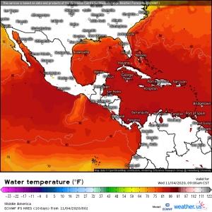
As far as intensity goes, per the NHC, the maximum sustained wind speed is forecast to be around 60 mph as Eta nears the south Florida coast. That is a solid tropical storm. Eta will have to reorganize in the Caribbean (where sea surface temperatures are still well above 80 degrees F, by the way) and traverse Cuba before reaching Florida so a mid-grade tropical storm forecast intensity is a safe bet. However, given the frequent rapid intensification of previous storms this year, some in less than ideal conditions, I would watch this one closely. As we have seen many times this year, intensity can change dramatically in the space of a day with very little warning.
A quick look at current sea surface temperatures…
(link: https://weather.us/model-charts/euro/middle-america/water-temperature-f/20201104-1500z.html)
…shows that it is most definitely still warm enough in the Caribbean and even around south Florida to support a hurricane. Eta will likely have to battle shear over the southeastern Gulf, however, so we can hope that will limit any serious re-development.
Look for Jacob’s blog tomorrow which will have further analysis on Eta’s re-emergence.
Have a great day, y’all!
