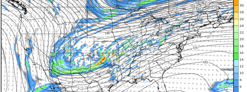
Return of Severe Threats
Though it’s only been about a month and a half since the last widespread severe weather threat, it feels quite a bit longer with all the wintry weather we’ve been tracking lately. Those of us longing for the sight of towering cumulonimbus, the sound of rolling thunder, and the smell of a spring rain are in luck – there’s an early season severe threat in the forecast.
Details are a bit sketchy at the moment as much will depend on mesoscale features that modeling isn’t in range of yet, but we can check out the set up.
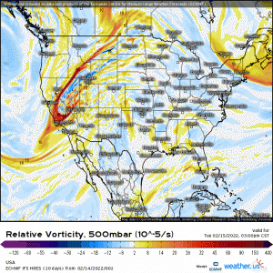
A shortwave is expected to move out of the Western US on Wednesday, undergo surface cyclogenesis in the lee of the Rockies as it moves into the Plains, and then lift out northeast later on Thursday.
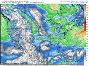
As you step outside this morning, you may be thinking “Yeah, but it’s way too cold for severe weather,” and you would be right, at least for the moment. However, a southerly flow will kick up as soon as this evening and moisture/warmth return will occur in a hurry.
Areas that are 10 to 20 degrees below average this morning have the potential to be 10 to 20 degrees above average by Wednesday evening.
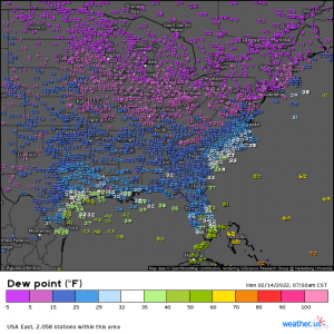
Of course that southerly flow also advects in moisture. Dry air reigns currently, with dewpoints in the 20s and 30s across the Plains and Deep South.
But by late Wednesday, we expect to see these values creeping into the 60s – more than enough moisture for some severe activity.
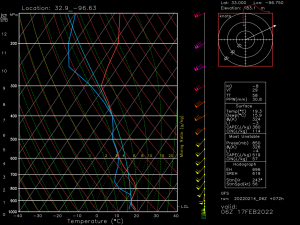
This forecasted sounding is taken from near the Texas/Arkansas/Oklahoma border valid for 06Z (midnight) Thursday. A quick analysis suggests that, in addition to moisture, we’ll have both speed and directional shear, decent mid-level lapse rates, and rather low LCLs. However, capping may be an issue and development in the open warm sector may be limited. In order to bust that cap in the overnight hours, we’ll need lift. Storms may be confined closer to the front.
Storm mode also remains in question for now – but the ingredients are there for supercells. If they can form and last, all severe hazards may be on the table.
For now, know that the Southern Plains through the southern Ohio valley may see severe weather Wednesday into Thursday. Keep an eye on your local forecast and prepare accordingly as this will likely be an overnight into the next day type of threat. I’ll revisit this topic in my Wednesday blog and we’ll discuss what we’re expecting.


Thank you!