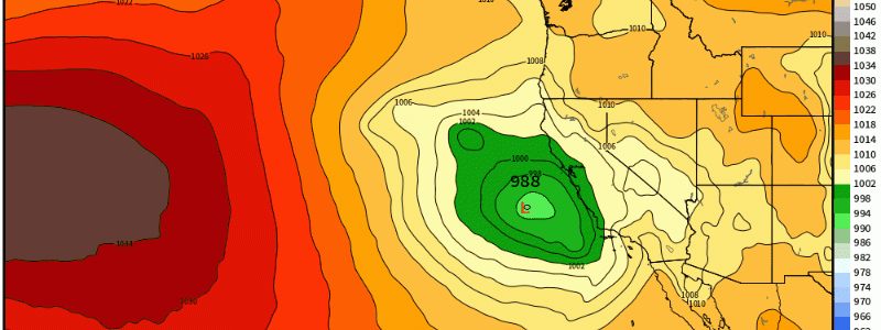
Relentless Western Activity Continues Into Tomorrow
Today, a relatively strong low pressure will “crash” into central California bringing with it yet another ongoing atmospheric river. This will render several hazards including flash flooding, heavy rainfall, strong wind gusts, and heavy mountain snowfall.
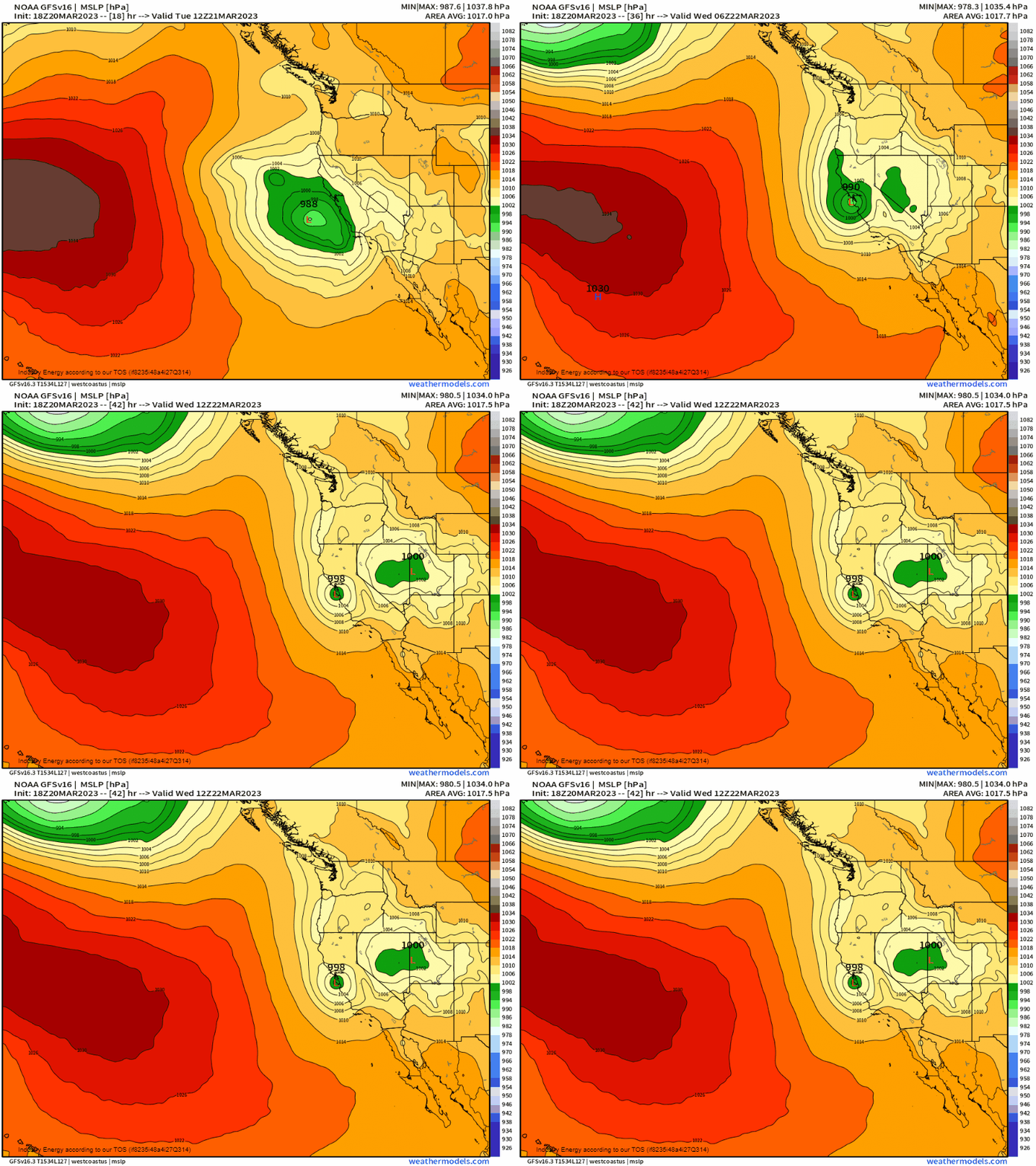
As we look at how much potent water vapor we have with this event, PWAT’s approach 1”, which for this specific event is just over 3.5 standard deviations above normal, which aside from the antecedent saturated soil conditions, this in conjunction with the moisture-laden atmosphere will have no trouble producing flash flooding. Places south of LA to San Diego are at the greatest risk to see hazardous flash flooding, and not to mention runoff from nearby mountainous regions that can cause a dangerous situation with floating debris in a matter of minutes in urbanized areas.

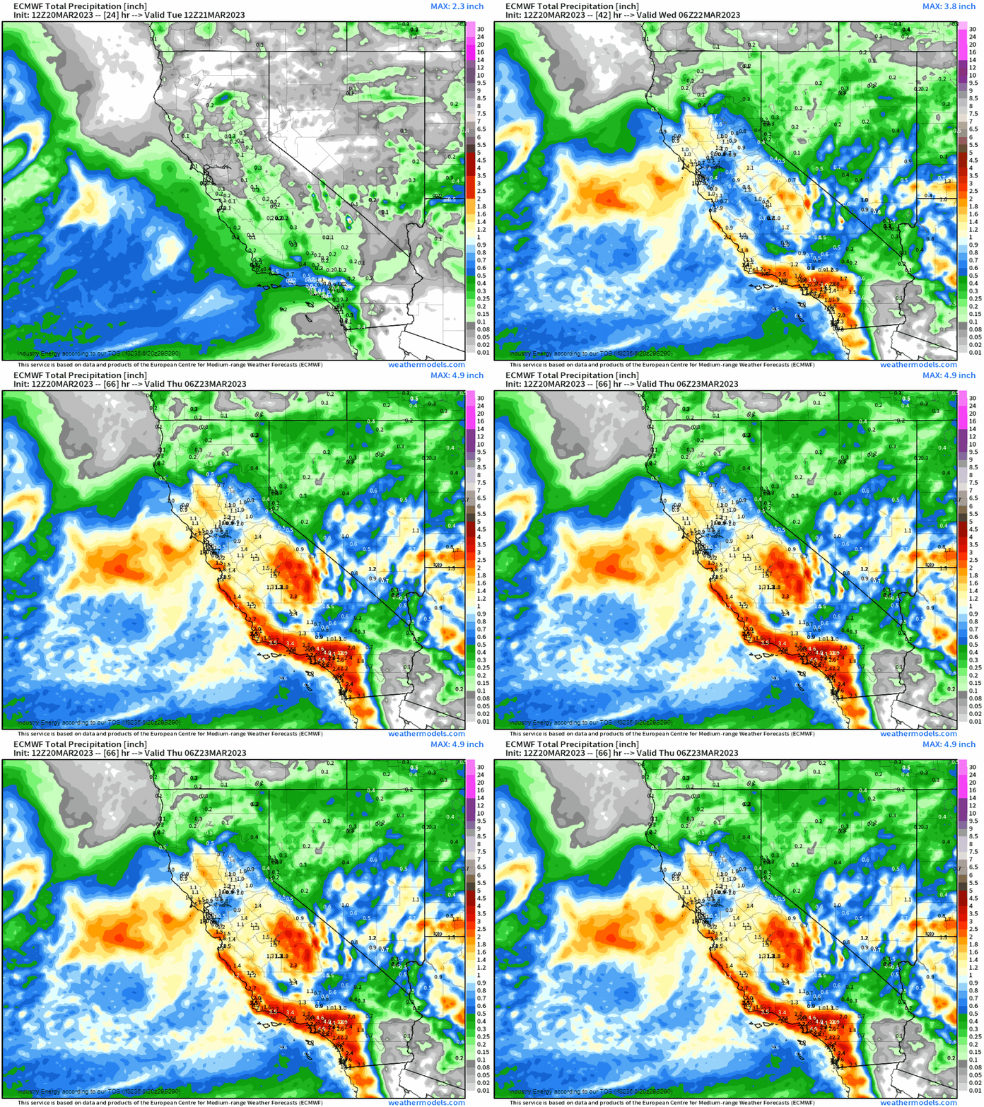
In terms of rain, we’re looking at a general 1 to 3” over the course of 24 hours, with the heaviest aimed at central-southern California, especially further south since this area will be within the “ideal” location nearest the greater forcing (through the warm front followed by the swinging cold front).
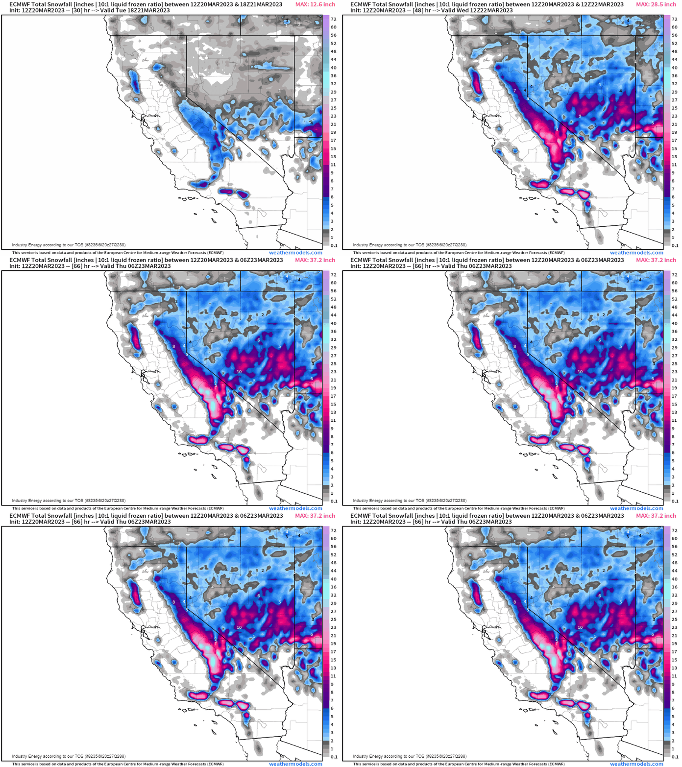
In terms of snowfall, yet another solid 12”+ is likely for the Sierra Nevada mountain range, along with a over 6”+ across the higher elevations of Nevada and into southern Utah.
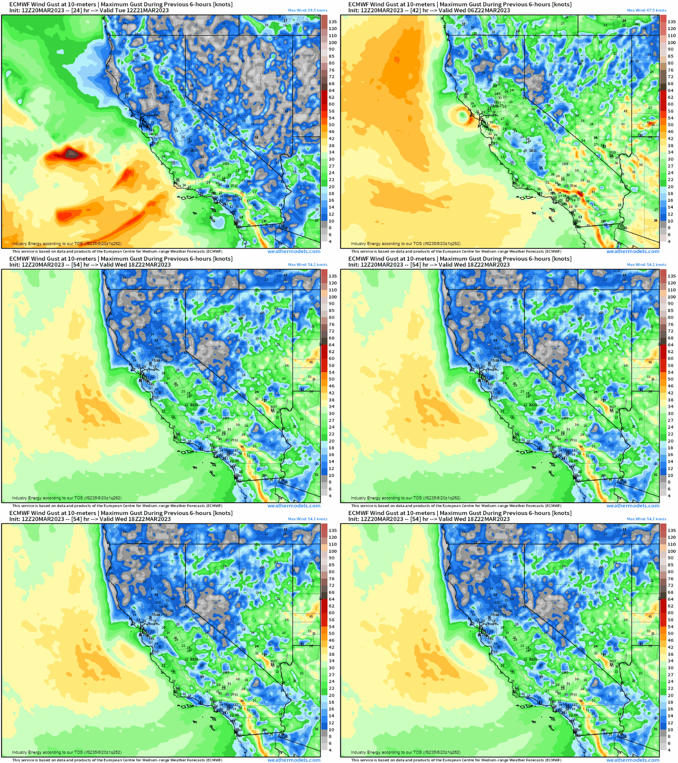
Lastly, tropical-storm like wind gusts (> 39mph) will be associated with this system as gusts look to exceed 40 mph along the coastline south of San Francisco toward Santa Barbara, LA, and San Diego.
The good news is that after this system, activity looks to quiet down in the short term giving this region a much needed break from an onslaught of precipitation (which overall is not a bad thing given the long-term preceding drought!), though we’re likely not done with activity just yet over the next few weeks!


