Record-Approaching Tides as Wind Blasts Mid-Atlantic
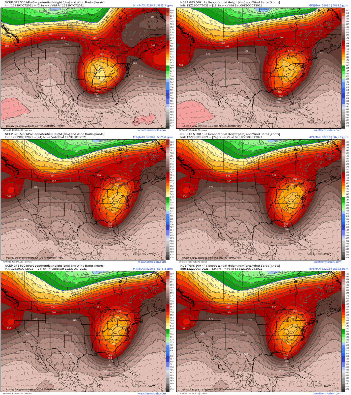
An unusual but quite intense midlevel cyclone will continue to slowly bowl through the central US today. As it does, an intense push of of favorably oriented low-level wind will send an unusual high tide surging into parts of the mid-Atlantic, threatening coastal properties with inundation.
The cyclone itself evolved from an incredibly high-amplitude trough that was responsible for a myriad of weather hazards in a slow west-to-east trek this week. From substantial rain and wind on the West Coast to high-end wind, hail, and tornadoes in the central and southeast US, the resume of this system is already quite impressive.
As it has cut off into a massive and sluggish stacked low, though, the tightly-wound wind field has… spread out some. The result is a much less intense, though still quite energetic, system.
But the diffluence ahead of such a trough, even one in its stacking phase, can still make quite a bit of air move.
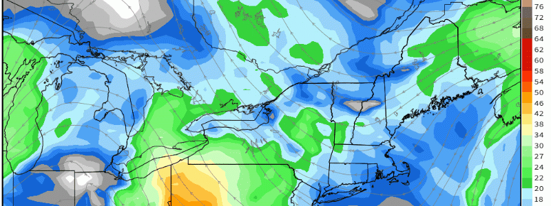
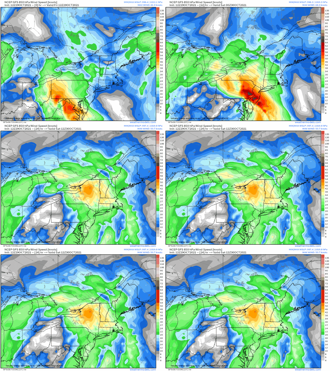
That’s exactly what’s been happening, and will likely continue to happen, as air evacuated aloft forced low pressure over the Appalachians, in turn inspiring Atlantic air to race west in a landfalling low level jet.
As all of this air piles west towards the mid-Atlantic, it will force a lot of water with it. Exacerbated by seasonally high tides accompanying the moon phase and time of year, all this water will force a moderate to locally major surge into inlets from Virginia to New Jersey. Some stretches of coastline could even see surge that approaches records, due to a favorable confluence of direction, persistence, and time of year/month.


