Rain! In the Pacific Northwest
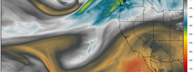
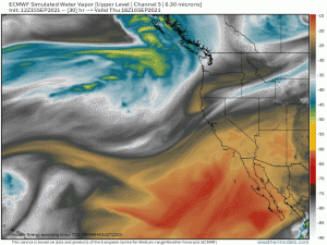
It’s been awhile since we’ve been able to write about anything but excessive heat and wildfires in regards to the Northwest. But, at long last, the seasons are turning and we can, for once, write about precipitation! Or, more specifically, an atmospheric river.
A firehose of moisture with tropical origins – near Hawaii, to be exact – will be aimed at the Pacific Northwest beginning Friday. While this won’t be a particularly long-lasting event, it is set to bring much needed rain to a region that has baked relentlessly under extreme temperatures this summer.
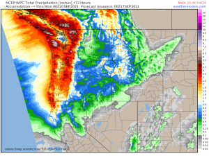
Rainfall totals will, of course, be maximized along the coast via extra uplift from frictional convergence and in the mountains with an assist from orographic lift. Even the areas in the lee of the Cascades/Northern California are forecast to pick up possibly up to 0.5″ (or more). As this rain is forecast to fall over some of the largest wildfires, any moisture is welcome and will hopefully wet existing fuels enough to prevent further fire growth.
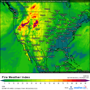
The trough associated with the wet weather is a bit of a double-edged sword, however. While the rain is indeed beneficial, the flow around the trough could cause downsloping issues that may elevate the fire weather risk ahead of the trough.
As gusty winds come on shore, ascend and then descend the Cascades, they will warm and dry. Gusty winds, low relative humidity and already dry fuels are the basis of fire weather.
As I said, a bit of a double-edged sword. While the rain is certainly welcome, the wind is not. Perhaps the benefits of the rain will outweigh the detriments of the winds. Either way, its wonderful to be able to write about actual, decent precipitation in the west again.
Enjoy it!


