Quiet Now, But Not For Long.
Good Friday morning to y’all!
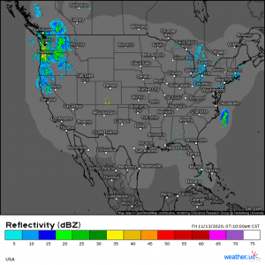
Let’s start with a brief radar check:
(link: https://weather.us/radar-us/usa/20201113-131200z.html)
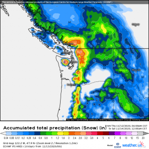
Finally, after all the action the east coast has seen in the last few days, we are experiencing some inactive weather. The northwest is seeing some rain and also some snow in the higher elevations. The precipitation should linger throughout the day and parts of the Cascades could see up to 4 inches of snow in places (elevations only).
(link: https://weather.us/model-charts/euro/1222-w-479-n/acc-precipitation-snow-total/20201114-0600z.html)
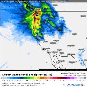
The coastal northwest (lower elevations) could see some fairly significant rain today as well.
(link: https://weather.us/model-charts/euro/1196-w-396-n/acc-total-precipitation/20201114-0600z.html)
Back to the eastern half of the country. After intense rains from Eta in Florida, extreme flooding in the Carolinas from a cold front fed by Eta’s moisture, and many record highs broken, we are getting a break, for now.
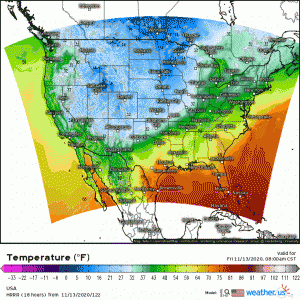
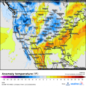
Temperatures start out seasonably cool this morning and warm to generally near average temperatures for this time of year this afternoon. A few places will be slightly warmer than average (see map below) but nothing like the record-breaking highs we saw earlier in the week.
Speaking of the record highs, I had mentioned on Tuesday that here in my hometown of Knoxville, TN, we were in line to break a record that has stood for 141 years. Oh, did we ever. The previous record for November 10th was 78 degrees set in 1879. EIGHTEEN SEVENTY NINE!! Unbelievable that it stood that long. The new record is 82 degrees as of November 10, 2020. Smashed it!
I may really be showing my weather nerd colors here but it always fascinates me when long-standing records are broken. But I digress.
We won’t get to hold on to average temperatures and quiet weather for too long.
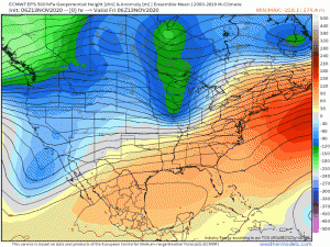
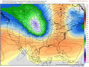
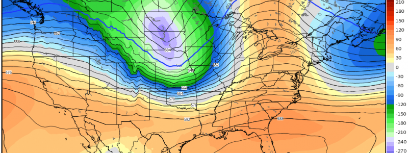
By the latter half of the weekend, another cold front will usher in a trough over at least the northern half of the country. This front won’t have access to nearly as much water as the last one, so the extreme flooding we saw yesterday in the Carolinas won’t be a factor this time.
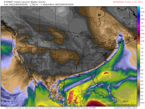
Yesterday we saw Precipitable Water values well into the 2″ range thanks to moisture from Eta being advected north and lifted along the cold front. Values this time around are much lower. However, I do need to mention a slight severe risk for the Heartland: places like Oklahoma, Arkansas, parts of Texas, and Missouri.
As the trough swings east, it will become amplified and deepen by Saturday/Saturday evening.
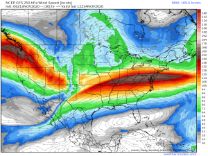
A strong jet streak will set up across these areas which is likely to initiate cyclogenesis resulting in a surface cyclone that will deepen as it moves across the Upper Midwest.
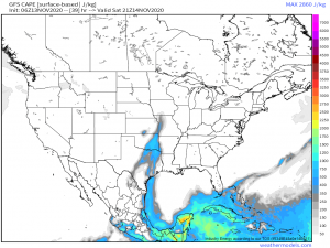
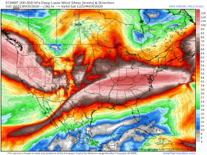
While a widespread severe outbreak is not expected as mid-level lapse rates are forecast to be unimpressive, the CAPE could reach values that, combined with effective shear in the 40-65 kt range, could support the development of a few supercells capable of damaging winds and perhaps a few tornadoes.
Again, timing for this would be Saturday/Saturday night. Understand: this isn’t a high confidence forecast. Just know that there is a risk of severe weather. Plan accordingly and keep an eye on how it is developing. Also, the risk is not currently expected to perpetuate eastward, so there is no expected severe threat to the mid-Atlantic at this time.
Temperatures behind the front at the beginning of the week will be sharply cooler for a few days until another ridge, though less anomalous than the one seen earlier this week, builds in and warmth returns.
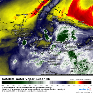
Elsewhere, while I was writing this blog, Invest 98L has become Tropical Depression 31 in the Caribbean.
TD 31 currently sits in a favorable environment and is forecast to strengthen and become Iota shortly. Jacob has written an extensive analysis on the future of TD 31 if you’re interested in knowing more about it’s possible evolution and track. It can be found here.
Stay tuned to our blog for more on future Iota along with a later update on tomorrow’s severe possibilities.
Have a fantastic weekend, y’all!
