Quick-Moving Snow To Impact Corn Belt
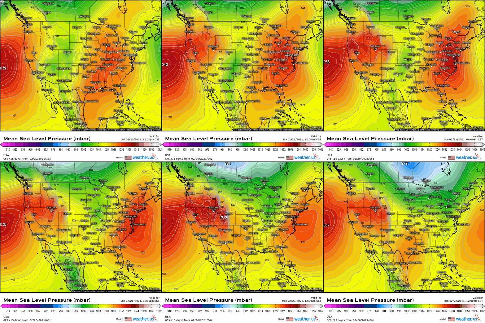
The immense midlevel trough that sent a polar anticyclone deep into the heart of the central US has finally eroded and retreated, allowing ridging and mild temperatures to build into a weary south-central US. The resulting de-amplification of flow has also dramatically shifted the pattern away from the mid-month’s persistent storminess, with largely zonal flow largely precluding the divergence and blocking necessary for runaway storm intensification or persistence. The weather in the medium term will be, frankly, boring.
That’s quite alright with me.
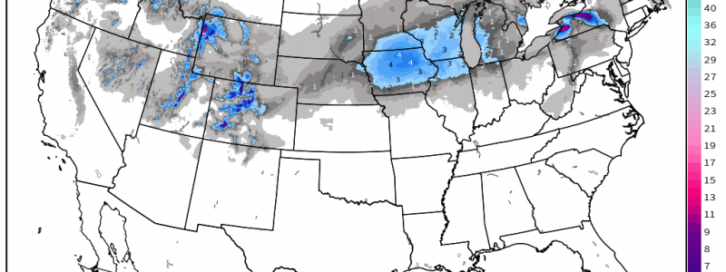
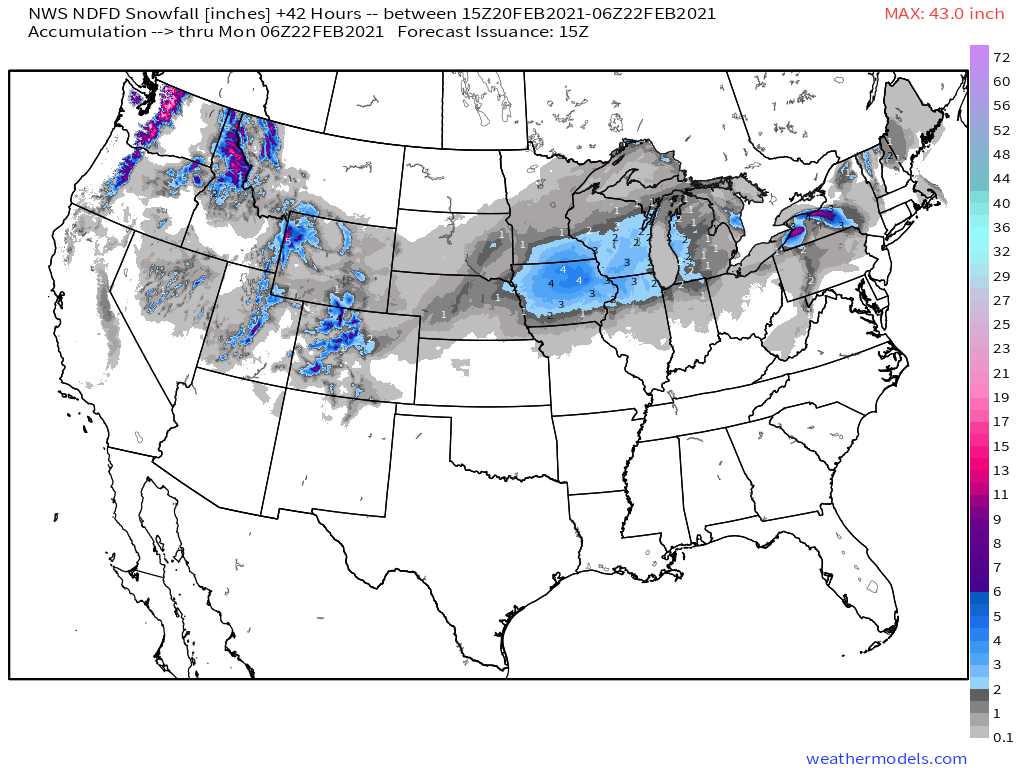
The next real storm threat will be a quick, flat, fairly mundane storm set to deliver a swath of moderate snow across the corn belt and into northern New England. It arises with a deep but positively tilted and briskly moving trough currently vertically re-orienting over the four corners region. The trough will swing towards the central US over the next 36 hours.
As the trough evolves eastward, height divergence aloft will encourage air to ascend, allowing the pressure to fall at the surface. This process will today be responsible for allowing a low pressure system over the rockies to begin to consolidate, with the highlands of Colorado, Idaho, and Wyoming seeing snow.
By tonight, the exit region of the trough will overspread a much more cohesive surface temperature field just east of the Rockies, and a single low pressure center will evolve over Kansas.
As the low level cyclone develops tonight over the central Plains, diffuse forcing for ascent will work with leftover Pacific moisture to generate some showery snow with limited accumulation over Kansas and Nebraska. But consolidation will bring increased Gulf moisture advection as it simultaneously increases the intensity of lift, and more vigorous snow banding will likely build into parts of Nebraska and Iowa tomorrow, and into Illinois tomorrow night. These snow bands should be oriented somewhat parallel to the cyclone’s motion, meaning some parts of the corn belt could well see several hours of moderate to heavy snow. The storm’s fast, flat motion will prohibit even these well-placed bands to stick around for very long, though.
While cursory glance at models makes it appear that the placement of maximized lift above the zone most favorable for dendrites to grow is bad for snowfall ratios, the unusually large size of this zone vertically will allow for relatively efficient snow.
With all of this in mind, it looks like a swath of 4-6″, with some totals to 8″ possible, will be likely. Thereafter, snow will overspread the northeast, but that’s an issue to be discussed in later writing. Enjoy your weekend!


