Powerful System to Bring Severe Threat to Gulf, Mid-Atlantic Sunday and Monday
An impressive jet phase is set to bring numerous impacts to the eastern half of the US this week, from southeast/mid-Atlantic severe thunderstorms to heavy rain just about everywhere east of the Mississippi, from damaging winds in the northeast to moderate Ohio Valley snowfall.
I’ll be discussing each of these four hazards over the next two days; this blog will focus on the severe weather threat.
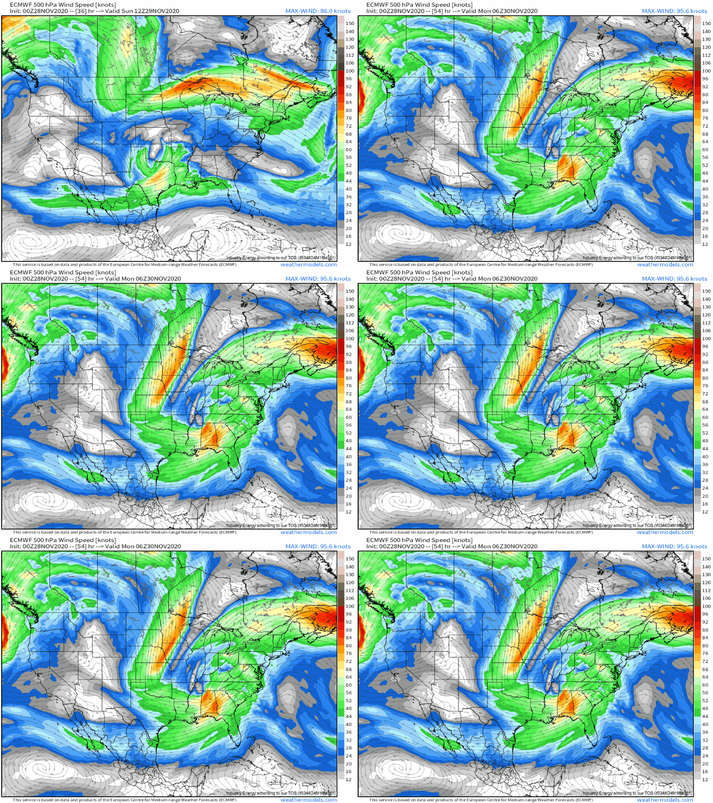
Let’s set the scene a little bit: the next two days will feature a northern stream trough massively increasing in amplitude and phasing with a slow-moving southern stream low. 
With severe weather, especially in late November, we can typically assume that the south-easternmost midlevel impulse is the weather-maker, as it’s more likely where appreciable Gulf moisture and corresponding instability can exist. This means it’s probably wise to focus on the closed low only until the trough fully absorbs it. This is an important distinction, because it gives us the geographical bounds within which we want to start making a forecast.
Once we’ve established where to look, the first thing to actually look at off-season is always moisture return, the main driver of convective instability.
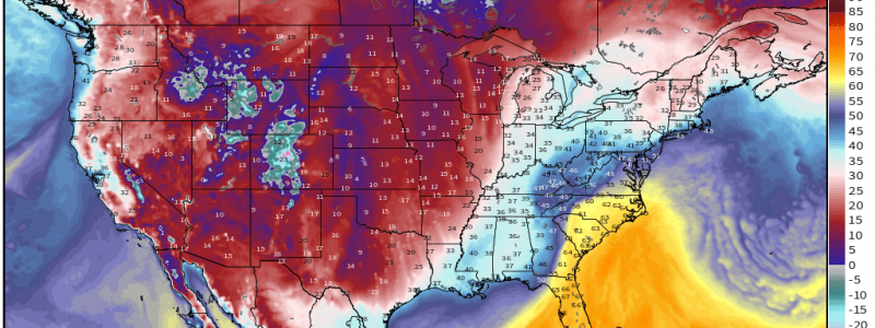
Day 1, today, will see this moisture return limited to a small part of the Texas coast: 
It looks like the same slow-moving surface front that’s been bothering the western Gulf with heavy rain over the last few days is keeping most of the deep moisture offshore today. This is important to know: as the approaching midlevel low incites cyclogenesis along this front, the position of the strengthening low will determine the northern limit for the front and corresponding moisture return.
With the low skirting the Texas coast today, then, it looks like moisture return will largely be unable to intrude, and significant convective activity seems correspondingly unlikely. There will be a tiny exception, where it looks like a slim part of the warm sector will move immediately inland over southeast sections of the state. Here, I could see a small severe line with damaging winds, or even a tornado, into the overnight. But the threat will be localized, and should stay isolated.
Day two gets more interesting. As the midlevel trough/low phase begins, the southern stream impulse will intensify, and a few things will happen that will promote convection.
First, divergence will increase over the southeast US, and the surface low will begin to accelerate northeast while intensifying more quickly. This will force the front, and corresponding moisture advection, well inland. It will also shower this warm sector in strong midlevel flow and synoptic-scale lift. All of this will allow an environment favorable for thunderstorms with high shear, marginal to moderate buoyancy, and synoptic updraft promotion to develop.
As far as the severity of this convection goes, it’s always helpful to look at 850mb flow. Strong low-level jets increase damaging wind risks via momentum transfer in linear storms, and they increase tornado potential, too, by upping low-level helicity. And, with an intensifying cyclone shoving against a strong Bahaman ridge, the warm-sector low level jet will be strong.
Most similar off-season Gulf events, with marginal instability and high-end kinematics, see either:
- Widespread subsevere storm development along warm air advection strengthening into severe multicellular storms (including supercells). Naturally, low-topped supercells could contain tornadoes and damaging wind.
- Widespread subsevere storm development along warm air advection failing to become surface based, but eventually coalescing into a squall line with damaging winds as the LLJ strengthens into the evening. These linear storms will be mostly damaging wind but could also feature a QLCS tornado or two.
My money, with limited instability expected, is on the latter, and I expect this to be a producer of scattered severe thunderstorm wind gusts, especially towards the evening with nocturnal LLJ intensification.
Now, onto day 3, Monday.
If I had to guess which day would have more severe reports, I would choose Monday.
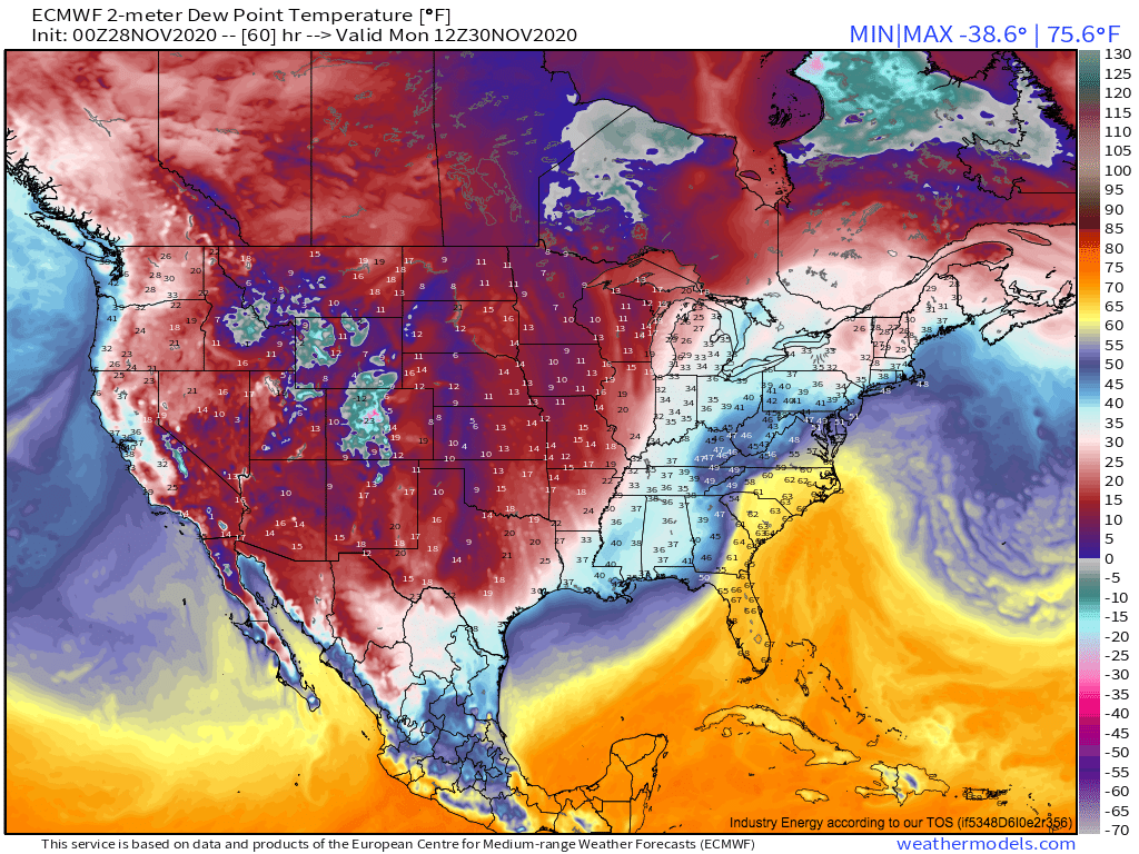
By early morning, the phase will be mostly complete, the mid-Atlantic will awake to roaring 500mb flow, a sub-1000mb cyclone, and a powerful warm air advection regime that will already have brought a wide swath of 60°F+ dewpoints to the Carolinas. 
This wide swath of inland moisture return, along with a supportive synoptic environment, means I’m bullish in at least marginal instability from SC to the DelMarVa region by afternoon, which should favor convective development in conjunction with the already mentioned conditions. It looks like, at minimum, a line of remnant storms will move west to east through the mid-Atlantic during the day, strengthening with increasing moisture advection as the low level jet cranks. There’s also a chance a couple supercells will spin up out of warm advection-inspired storms. With 850mb flow to 70 knots, it will NOT take much to get some severe weather out of this convection, whether it’s tornadoes in the high helicity or strong wind gusts in momentum transfer.
A lot of the Monday threat depends on instability. There isn’t a thick line with systems like this between marginal instability, which can support even significant weather, and no instability, which cannot support convection at all. However, I’m reasonably confident that the unusually strong low level jet will allow enough moisture advection for at least a small amount of CAPE, and, with incredible kinematics in play, that should be enough.
Of course, whether there are tornadoes or not depends in part on convective mode. A linear mode may have an isolated tornado, but will certainly not have as many rotating storms as a supercellular mode. When it comes to this consideration, Monday will have minimal capping with low LCLs, widespread warm advection showers, and strong synoptic lift. So, similar to Sunday, a lot of the supercell risk will depend on how easily existing convection can deepen, which will depend on instability, which we don’t know that much about yet.
A major phase will significantly deepen a southern stream low over the next three days, which could allow severe thunderstorms to develop Sunday and Monday, first in Gulf-adjacent states and then in the Mid-Atlantic. These classic high shear/low CAPE events will feature a roaring LLJ that will serve to maximize any severe risk, regardless of mode. However, if CAPE gets high enough, which seems more likely with impressive southerly advection in the Carolinas on Monday, some supercells could lead to tornadoes with powerful helicity.
Stay tuned here and on twitter, of course!


