Potent Upper Level Low Hangs Out
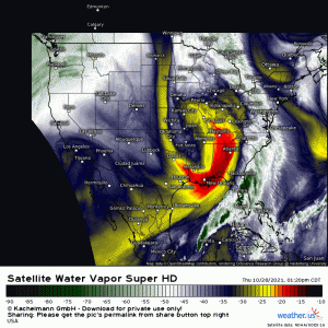
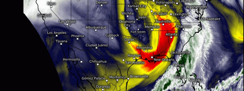
Let’s start this blog off with the current Water Vapor imagery:
Isn’t it lovely? I’ve been using this particular satellite imagery a lot lately in both my blog posts and in Twitter post. The reason being: there’s just so much info we can glean from a single frame. It tells a more complete story that most other single parameter images do.
“Like what?” you may ask.
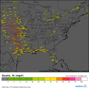
Well, first, and most obvious, is the giant upper level low sitting over the Eastern US with it’s tail of cold, dry air streaming southward. Under this tail is the Plains, where pressure gradient winds are roaring today.
We’ve had a few observed gusts top out over 60 mph in the last hour or two.
Second, we can see a plume of moisture ahead of the ULL. It’s been pulled all the way into the Great Lakes region and wrapped around the center. In the southern end of that plume, we see deeper greens indicating greater moisture. This is where the stronger storms are.
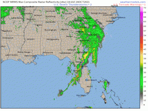
A potent line is rolling through the Florida peninsula. We’ve even had a few tornado warnings over the last 2 hours or so.
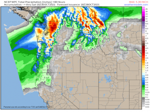
And lastly, in the Northwest, we can see the edge of the next atmospheric river moving in. Heavy rain is expected here through Friday.
This on top of an already-soggy past week or two may lead to some localized river flooding. Flood watches are up for the northern Cascades of Washington along with some of the northwestern coastal communities.
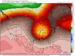
But let’s get back to that upper level low. It’s what I set out to write about before I got distracted by the Water Vapor imagery.
Thanks to a sluggish pattern, this low is going to basically hang out with the Eastern US for the next few days.
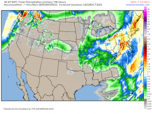
As it sits and spins, on and off showery weather will be common in the southeast through Sunday before it begins to exit northeast. As it does so, heavier rain will be on the menu for the Northeast. Here’s a forecast precip totals map for reference:
This is valid through Monday afternoon. As you can see, it reinforces what I just wrote: Showery in the southeast, and a heavier rain upon it’s exit in the Northeast.
As parts of the Northeast have recently seen quite a bit of rainfall from this week’s nor’easter, this will likely set the stage for some localized flooding issues. It’s something to monitor and be aware of, at the very least.
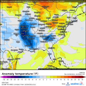
There is an upside to this lingering low, though.
Below average temperatures!
I don’t know about you, but if the cooler temps come with a side of (light) rain, I’ll take it. Cool weather has been far too hard to find and keep this fall.
Beyond this weekend, a larger, more potent cooldown lurks, but we’ll discuss that as models (hopefully) come into better agreement later this week.
