Pending Nor’easter and It’s Threats: Part 2
So now that we’ve looked at the immediate threats from our system in my previous post, let’s look at what’s going to occur in the Northeast over the weekend.
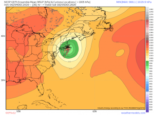
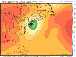
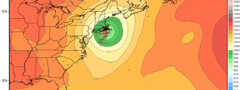
Yesterday, we had a high degree of disagreement on not only intensity, but location and timing of the system. Thankfully, guidance has aligned in the subsequent model runs and both the GFS and ECMWF are on board with the system phasing with energy out of Canada and with it’s general location and intensity.
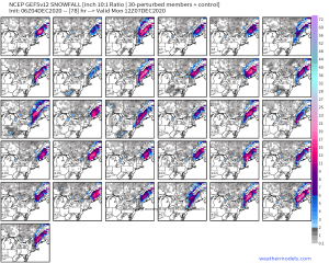
As you can see, the ensembles here are nearly identical in depicting a relatively strong coastal storm.
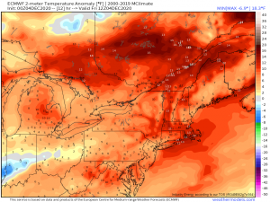
Now here’s where it gets tricky. Temperatures in the northeast right now are warm.
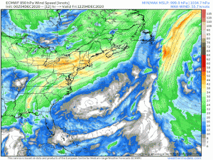
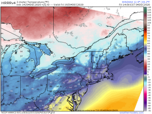
In fact, they are up to as much as 10 degrees above average over a decent portion of the northeast thanks to a strong southwesterly flow advecting warm air into the area. This flow will strengthen as the system deepens and approaches the northeast.
(gif) Link
Once the center of low pressure passes into the east, then the flow will change and cold air will filter down into the northeast via a north/northwesterly flow. Due to the location of the center, this means the interior northeast will receive the cold air faster than the coastal areas will.
As I mentioned, temperatures are above average in the northeast today. This antecedent warmth (warming preceding the arrival of a system) brings coastal New England into the mid 50s in places today. Temperatures will have to fall over 20 degrees in those places before any precipitation changes to snow. The interior, however, hovers in the upper 30s/low 40s and does not have very far to fall. This, combined with the interior receiving the cooling northwest flow faster, means that higher snow totals will be found in the interior. Ski country, rejoice! You’re about to get real snow.
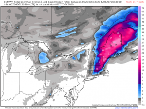
Keep in mind these totals can change since we are still ~24 hours out from the event. But a glance at current projected totals…
…reflects what I mentioned above. The coastal areas see little to no accumulation but totals increase as we move inland, especially over the colder pockets/higher terrain of inland Maine and most of New Hampshire.
The GEFS ensemble is also more or less on board with this scenario, with a few variations.
So, it all comes down to how fast the cool air filters in behind the low. Any changes in temperature, whether it be not reaching the forecasted high, reaching beyond the forecasted high, etc., can tweak snow totals one way or the other as well. While we can give it our best guess it is, right now, just that. A guess. The rate at which the air modifies behind the front will make all the difference one way or another. Based on current guidance and observations though, it seems likely that the immediate coast (I-95 corridor) will see small (if any) accumulation and totals will increase further inland and to the northeast.
Regardless of mode of precipitation though, this system is bringing with it a decent amount of moisture. So, where it doesn’t snow, rain will be heavy with totals exceeding 2 inches along the coast.
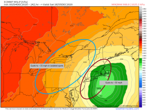
Another portion of this storm I’d like to mention is the wind component.
Tightly packed isobars near the coast will allow for gusts of around 50 mph to be possible in places, especially along the immediate coast and over the water. Less packed isobars further inland mean less gusty winds, but we could still see the odd 35 mph gust or so in isolated spots. So, expect windy, wet (whether it be rain or snow), progressively colder conditions as we move through the day tomorrow.
There are still a few moving parts in this forecast. Should the center be further off the coast than forecast, some of the interior may not see the forecasted precipitation. Should the center be closer to the coast, there may be heavier totals as the deep moisture moves further inland.
Temperatures and modification of the airmass are a factor as well, as I mentioned before.
Jacob and I will continue to keep you updated as always via this blog and Twitter. Look for another blog from Jacob in the morning on the updated expected conditions.
Have a wonderful day!
