Nearing The End Of Atlantic Hurricane Season!
We’re now in the middle of November, and lets see according to National Hurricane Center where it’s climatologically favorable for tropical mischief to arise. Notice below, it’s still within the Caribbean, Southwest Atlantic, and into the sub-tropics of the Atlantic as well.
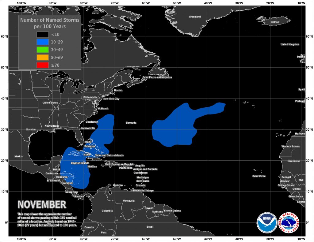
November is un-shockingly the quietest month relatively speaking for land-falling hurricanes and tropical named storms. In fact, dating back to 1851, there have been 10 named tropical storms with 3 hurricanes that have made landfall. Nicole now joins that list, which adds to the uncommon list. So what do we have in store looking into the end of the Month and toward the end of the 2022 Atlantic Hurricane season?
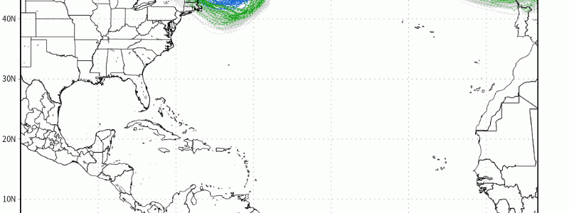
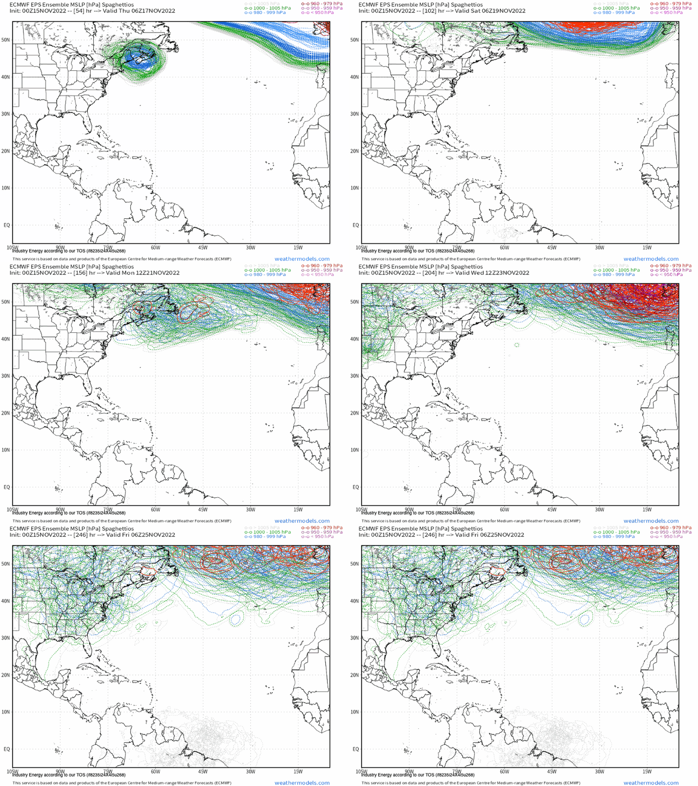
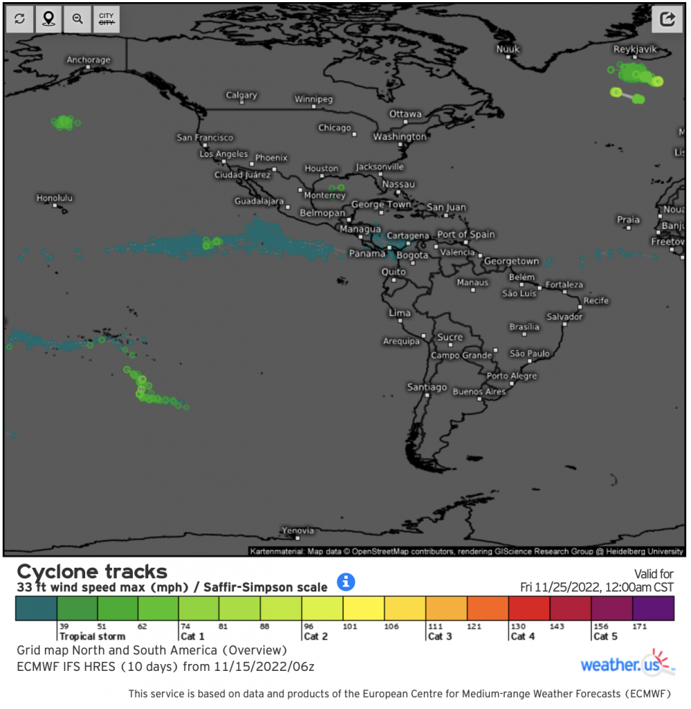
Below, here are both the EPS progged spaghetto’s identifying where there may be any sign of a low pressure developing, even a very weak low. Notice, it’s as bare as a bone through Thanksgiving week! This is well corroborated by the EPS cyclone tracks as well below, showing hardly a single tropical depression.
Now, you may be thinking to yourself okay, what does the tropical forcing state look like and could we see any influence from it? I’d be so proud if you thought about this from a long range forecasting perspective! Going forward, there appears to be a building consensus that a MJO will emerge into the Western Pacific within the 1-2 week timeframe, which is unsupportive of facilitating tropical development on the Atlantic side of things.
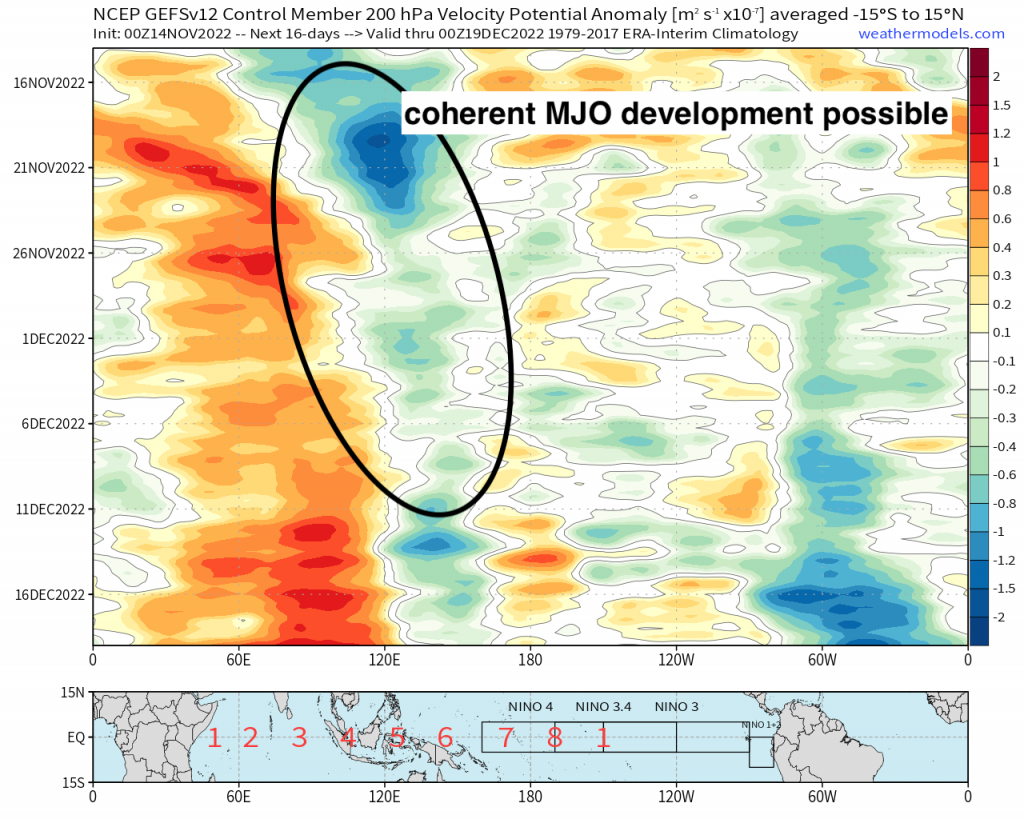
Don’t be fooled though, even as we conclude Hurricane season, they can still form in the off-season (i.e. Hurricane Alex in 2016 in January!), but yeah in terms of landfall… not to worry as the winter season of the Northern Hemisphere and solar insolation significantly plays a role in stymieing development. I think we’ve had enough of tropical mischief for the year with a few named storms including a powerful Hurricane Ian that brought devastation to Florida. Time for winter-named storms now!


