National Weather Takes a Breath
After two weeks of drama, national meteorologists are sighing a collective exhale as a multi-day stretch of nearly universal calm settles over the country.
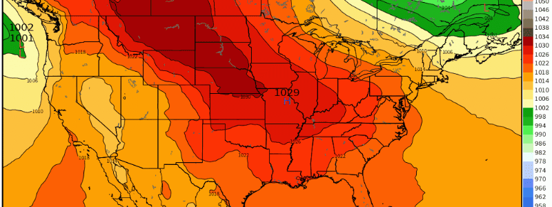
A pronounced and expansive zone of confluence aloft at the hands of a favorably oriented jet has sent a region of high pressure crawling into the central US.
As this anticyclone slowly cranks over the CONUS, it will promote two important inhibitors of weather: stability, and divergence at the surface.
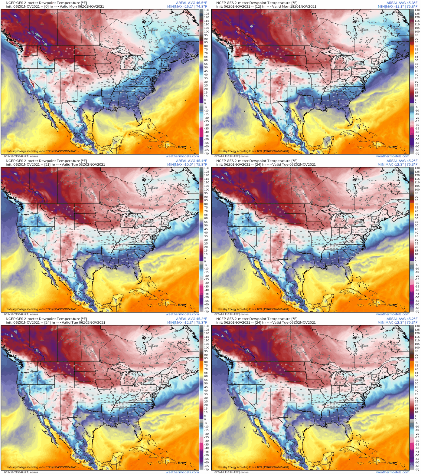
The former can be seen in the general lack of dewpoints at or above 60ºF over the United States. Effectively a pre-requisite for convection and the hazards that go alongside, the lack of such moisture implies air should not be in any hurry to move vertically.
The broad divergence at the surface is a sign that air will not smash together with the convergence of low pressure. Instead, spreading air will promote sinking, which will not lead to condensation, and will not support precipitation or convection as a result.
This environment will also fail to support the type of vigorous advection that can lead to high-end wind gusts.
The result of all of this will be a sunny day for much of the country, largely absent precipitation and, for many, cooler than average.
So, enjoy the boring day. You’ve earned it.


