Multi-Day Severe Thunderstorm Threat to Impact Central Plains, Southeast
As I wrote about a bit on Tuesday, a quick-moving shortwave will bring a pronounced threat for all severe hazards to parts of the southern US tomorrow into Saturday.
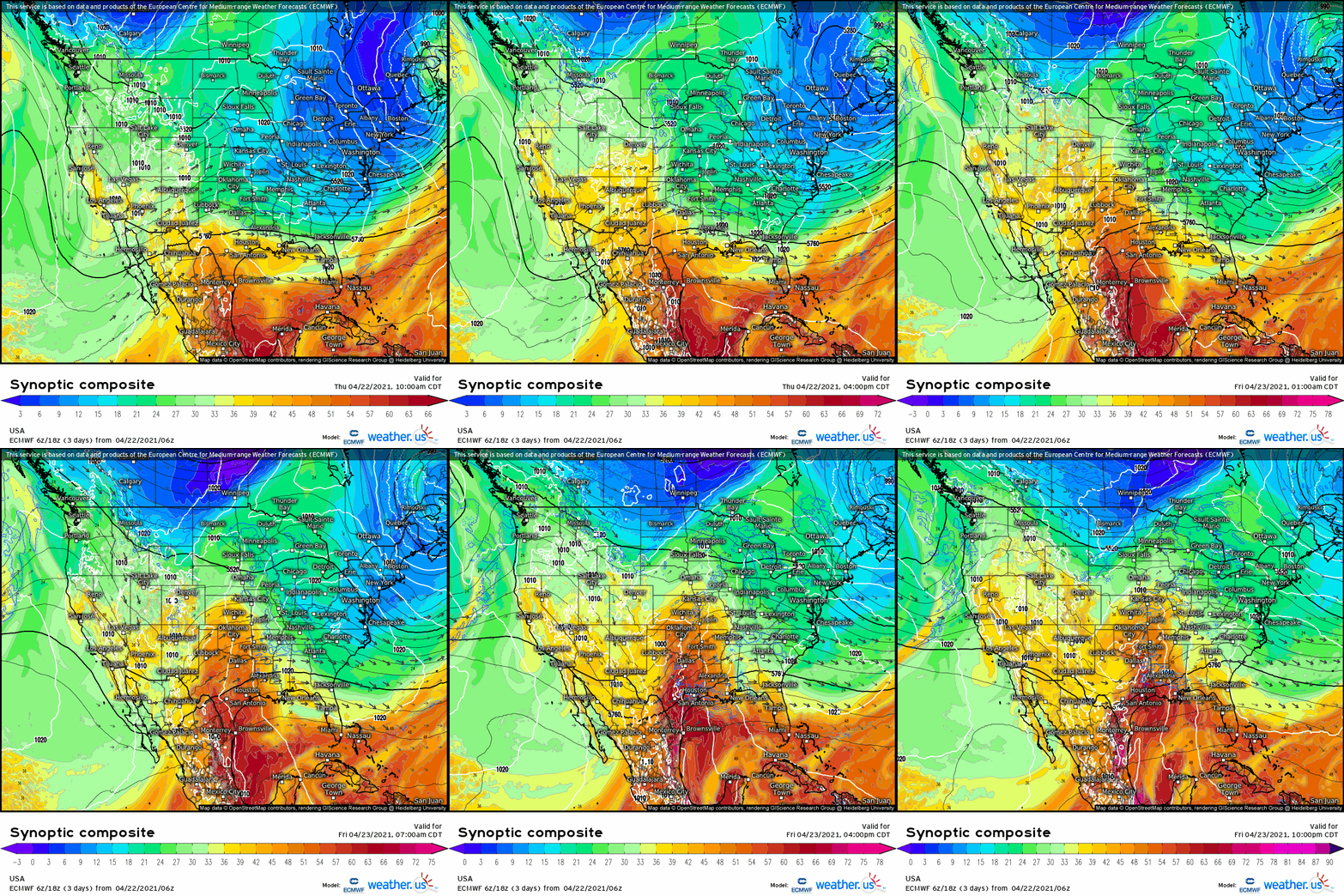
Already, a diffuse zone of low pressure has developed over the southwestern states in response to the midlevel impulse’s approach. Cool, dry air remains entrenched further west, to the north of a warm front draped across Texas. If it were earlier in the season, this lack of antecedent destabilization would likely be a non-starter for storms. But it’s late April now, and while multi-day fetches of moistening are always preferable, they’re hardly mandatory.
As the next 24 hours progress, the eastward-shifting shortwave will incite pressure falls downstream of current four corners region development. The result will be the strengthening of a southerly low level jet directed into the south-central Plains, and the quick poleward evolution of a high theta e airmass.
By tomorrow morning, surface pressure falls will have consolidated into a weak low centered near the Texas panhandle. Already, the surge of moisture accompanying responding southerly flow will have pushed the 60ºF isodrosotherm as far north as central Texas, and midlevel flow from 35 to 45 knots will be overspreading the evolving warm sector. As the day continues, eastward motion of the trough axis will increase deep layer shear to the 45-55 knot range, just as further consolidation and strengthening of the surface low brings dewpoints approaching 70ºF to SE Texas, with low 60sºF as far north as central Oklahoma. An EML will overspread the environment with 700mb dry heat, and accompanying dramatic lapse rates. The low level jet will be modest, with 30-40 knots of H85 flow.
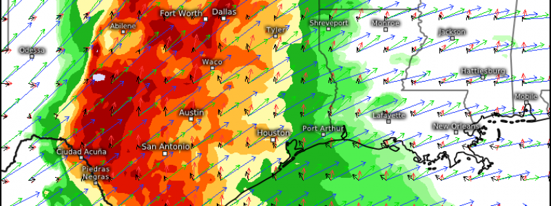
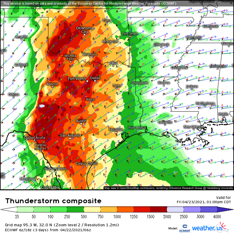
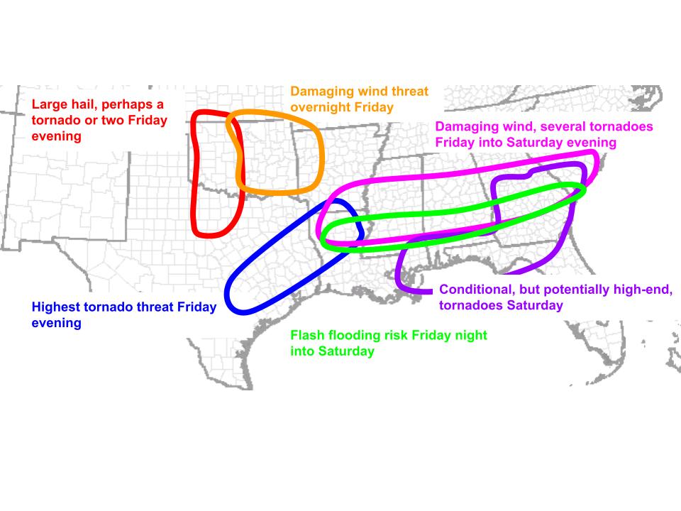
In the well sheared, moderately to very unstable atmosphere expected to result, two zones of convective initiation will likely occur. The first temporally will happen in the mid-afternoon over south-central Texas, as warm air advection erodes inhibition and allows widespread showers to develop. Amidst the moderate shear and favorable instability, some of these showers will deepen into strong thunderstorms, with an initial large hail and damaging wind threat. As these storms evolve east towards sunset, though, dramatic amplification of low-level flow will mean storms could well drop a strong tornado in E TX or W LA. The position of the LLJ will mean the southern periphery of the shield of storms will be the location to watch into the overnight. Eventually, these storms will likely evolve into something of a QLCS, presenting a threat for damaging winds into the SE, with a medium tornado threat continuing, including the possibility for a strong tornado. By 12z, this QLCS will be bowing into central Alabama, with storms to the south increasingly oriented parallel to flow aloft, signaling a flooding threat. Back to this later.
To the north of these early storms, near the triple point/dryline setup into central Oklahoma, numerous cells will probably develop by late evening along strong forcing. The cells will likely grow upscale pretty quickly, but could well produce numerous reports of large hail or even a tornado first. Modest LLJ strength will probably limit the ceiling on any tornadoes that could develop. As these storms coalesce into the overnight, the threat for swaths of damaging wind will evolve as to the southeast.
The evolution I expect convection to take matches up with HRRR simulations reasonably well:
Into day 3, Saturday, the QLCS will rocket east towards the Atlantic, likely laying down a swath of damaging winds and tornadoes that could be significant. Where storms train parallel to forcing, flash flooding could occur. But that may not be the extent of it.
With a favorable parameter space now present, any discrete convection could drop a high-end tornado. The threat for this kind of storm will largely evolve where instability remains somewhat pristine: ahead of, and to the south of, the QLCS. This gives us a likely area to watch, but the conditional- on subtle forcing, convective extent, and LLJ intensity away from the convective enhancement- are likely poorly modeled, and will require us to wait a little to really resolve.


