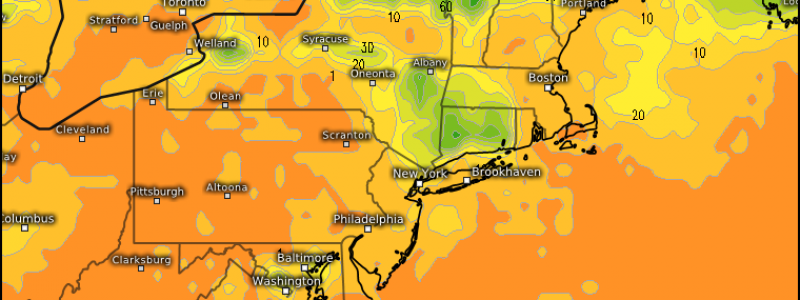
Much-Needed Rain With A Side Of Severe Weather
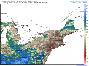
If you haven’t heard yet, the Northeast has had an extremely dry summer.
In fact, a good portion of New England is currently in drought, with parts of Connecticut, Rhode Island, and Massachusetts in the Extreme Drought category.
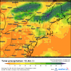
The good news, then, is that rain is likely this afternoon as a shortwave moves through the region.
The bad news, however, is two-fold.
First: the heavier rain seems poised to miss a large portion of the area in extreme drought almost completely.
Second: this rainfall comes with the potential for severe storms.
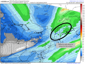
Looking at the 250 mb level, we can see an area of diffluence, or spreading in the wind vectors, over a portion of New England ahead of the trough. Where there is diffluence or divergence aloft, there is air rising at the surface. Additionally, this region is near the right entrance of a jet streak – a location that is favorable for rising air.
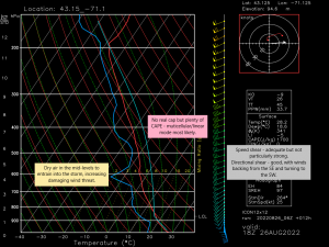
Here is a forecast Skew-T diagram, a vertical snap shot of the future state of the atmosphere, for a portion of New England later today. What can we figure out about the severe threat from this sounding?
- Speed shear between the surface and the mid-levels isn’t particularly strong. It’s adequate for organizing storms, but not the best we’ve ever seen.
- Directional shear seems fairly favorable. Winds at the surface are SSE and turn to the SW in the mid-levels.
- Directional shear makes a tornado or two possible, especially where the low-level shear is enhanced by topographic features – ex: if flow around a mountain or other feature turns the wind a bit more SE.
- Dry air in the mid-levels can entrain into a storm, increasing the damaging wind threat. Winds of 35 kts (~40 mph) are found in this level and can translate (with some modification) to the surface.
- A decent amount of CAPE is available to power the updrafts, but no real cap exists to focus this energy. Storm mode will likely be multicellular and/or linear.
So in plain language: expect clusters of storms/a line of storms this afternoon in New England. These storms will be capable of heavy rain that may lead to flash flooding, damaging winds, and a tornado or two – especially where terrain enhances the low-level shear.
Have your weather radios on and ready to go and stay weather aware throughout the day!
