More Rain For The Oversaturated South
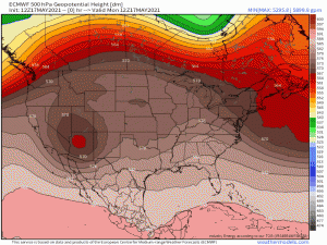
Changes to the western ridging, eastern troughing pattern that has dominated the US during much of the spring are afoot. As we move through this week, a trough digs into the west while a ridge builds into the east.
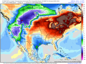
The result? Warmer weather bleeds into the east in the short term. In the long term, below average temperatures will settle into the west while a heat dome powered by high pressure in the western Atlantic scorches the east.
Here’s a little preview of possible temperature anomalies by Friday:
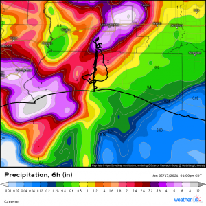
But that’s the long term. In the short term, we have another flash flood risk on our hands as waves of storms, some severe, batter the already-saturated south – specifically Texas and Louisiana. A slow-moving upper level trough will slowly pivot over and away from the plains. Ahead of it, a southerly flow will keep the moist air coming, providing plenty of rain this area does not need. In fact, in a 6 hour period alone today, Lake Charles, LA received between 6 and 12 inches of rain prompting a flash flood emergency.
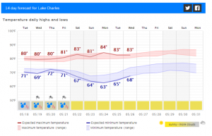
I wish I could say today was the end of the rains, but unfortunately it isn’t. Looking at the 14 day extended forecast for Lake Charles…
… we see that rain remains in the forecast at least until the weekend.
Speaking of the 14 day forecast, this a brand new feature on weather.us. It is customizable to your location and can provide you with the 14 day trends for high and low temperature, sunshine amounts, precipitation probabilities and amount, and potential wind speeds/gusts. Curious about the trends for your area? Go check it out here!
Back to the rains.
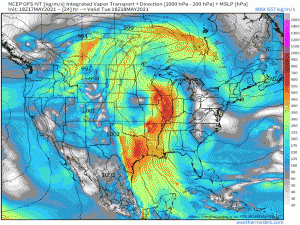
The moisture continues to be advected northward at least through the weekend for places like Louisiana and Texas. This is deep moisture, too, with PWAT values of over 2 inches at times. That means there are more chances for flash flooding like we saw today. If we get storms training over the same area or stalling/moving slowly, we could very well see more flash flooding emergencies throughout Texas and Louisiana.
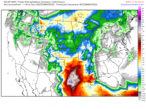
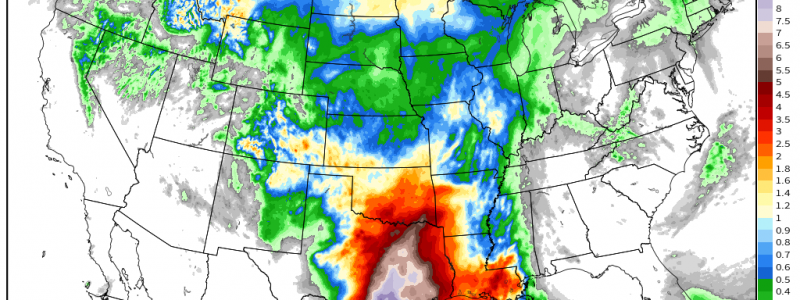
This focused river of moisture aimed directly at the northwestern Gulf coast has the potential to produce a widespread 6″+ (with locally higher totals if we see training/stalling) of rain through Sunday. Once again, more rain in an area that just does not need it.
Be aware of the weather over the next few days. Yes, there will be severe threats, but flooding is a threat many people don’t think about often and can be the most widespread and deadly as it catches some off guard. Don’t drive through flooded roadways. If you reside in a flash flood-prone area, be ready to seek higher ground if heavy showers are affecting your location.
Stay dry!
