Miserable Memorial Day Weekend On Tap for Northeast
Memorial day weekend is often cited as the unofficial start of summer. It is the date after which swimming pools open and beach attendance surges, and is often marked by barbecues and cornhole tournaments. But for millions of residents of the northeastern US, this year’s memorial day will call to mind the chilly, windy, rainy days of early March more than late May.
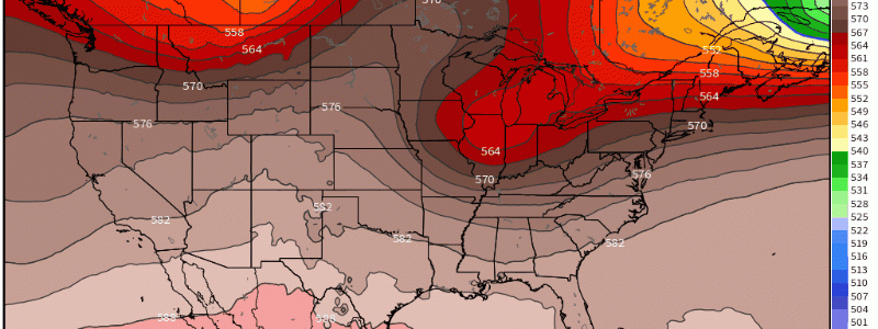
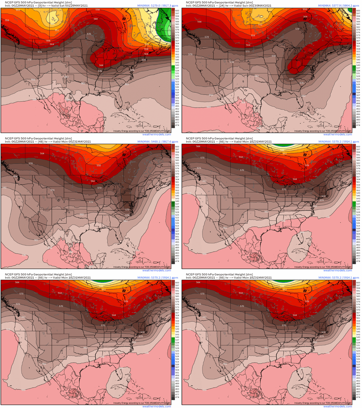
A robust North Atlantic ridge is serving to block an eastward moving shortwave, forcing it to pivot in orientation from E-W to N-S near the Great Lakes and into the Mid-Atlantic. 
This slow pivoting will allow the zone of diffluence in the shortwave’s exit region to train over the same region of the US for a fairly long period of time, persistently removing low-level mass downstream. The result is effectively the perfect storm for mid-winter ice accretion, or for miserable weather in late May: constant surface low development along a stationary coastal front.
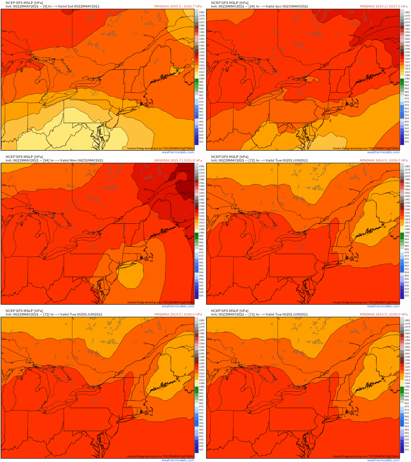
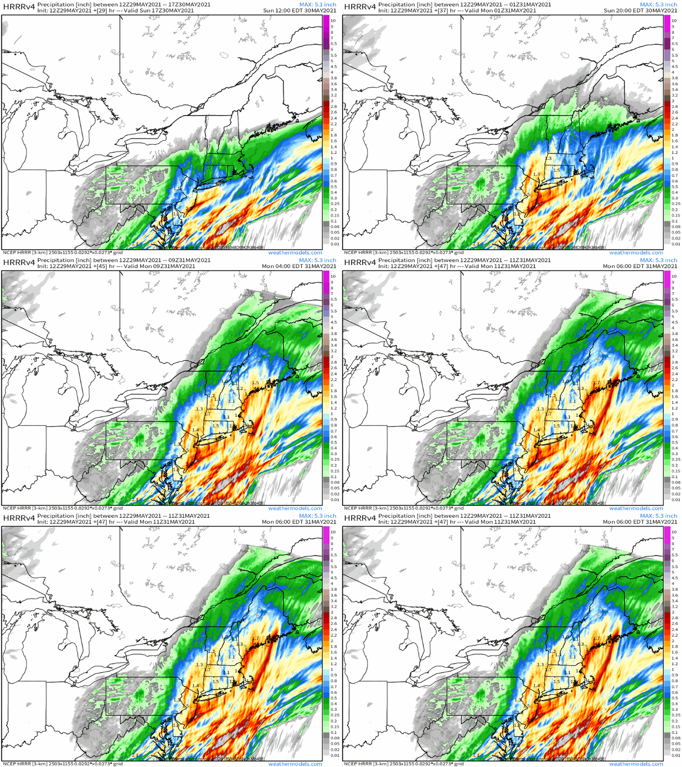
As several waves of low pressure ride along the boundary this weekend, they will enforce a northeasterly flow regime that residents of the Northeast and mid-Atlantic know to dread. It will advect a maritime airmass characterized by cool temperatures and high moisture content into the populous I-95 corridor, which will be readily lifted into stratiform rain by forcing for ascent along the slow-moving boundary. The result will be record low maximum temperatures Saturday and Sunday amidst long fused moderate rain.
While some flooding concerns will certainly be possible, especially over far southeastern New England where heavy rain last night saturated the soil, but overall, the story here is a remarkably gross holiday weekend where a lot of people live. Nicer weather then returns to start the work week.


