Major Snowstorm Increasingly Likely Along Front Range Into Weekend
A shortwave rounding the base of a powerhouse longwave today is set to amplify further into the weekend, with a number of significant weather hazards likely in the central US resulting. In the warm sector, several days of severe storms and flooding are likely, as we’ve written about pretty extensively here. Meanwhile, just north and west of the surface cyclone’s occlusion at the northeastern periphery of the closing trough, significant snow seems increasingly assured.
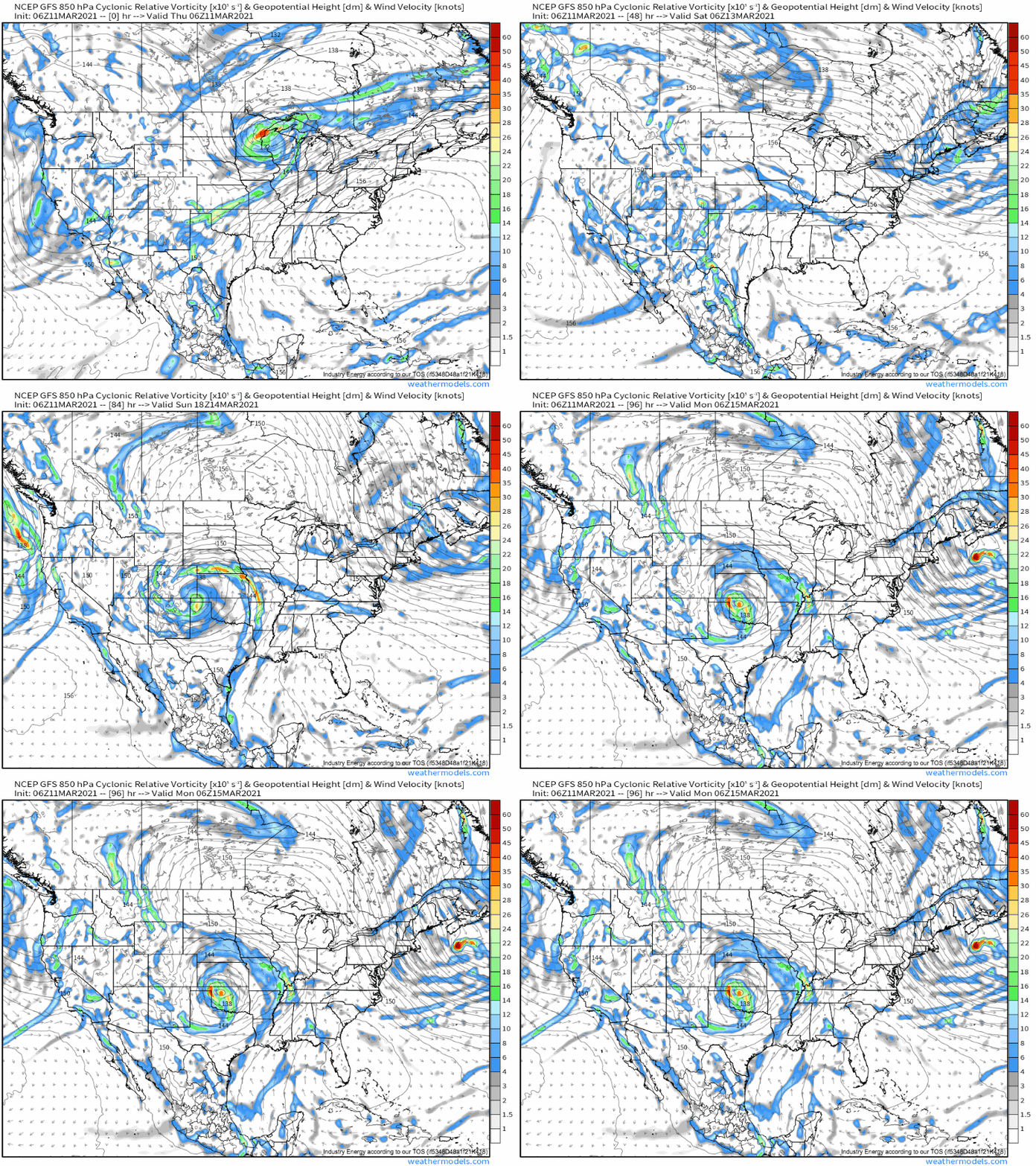
The issue at hand begins as a large closed low at the southern edge of the western US longwave pinches off later today and begins slowly barreling east. Height falls associated with a strengthening impulse rounding the base of the closed low will simultaneously rotate around the cutoff’s center, with a zone of enhanced divergence resulting that will serve to allow impressive mass removal aloft.
The result will be a low level cyclone that begins consolidating over the southern Rockies, before really beginning to crank as typical encouragement for cyclogenesis along the eastern Rockies coincides with an increasingly favorable orientation of the pivoting inner-cutoff impulse. By the time this midlevel favorability overspreads the front range, a quickly developing low will be spinning up in the lower atmosphere.
What does this actually mean, sensibly?
Remember that snow, like any precipitation, is a function of moisture and lift, with some cold air necessity thrown in too. Where these things occur for a while, or where they occur most heavily, or ideally where they occur heavily for a while, substantial accumulations can occur.
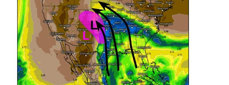
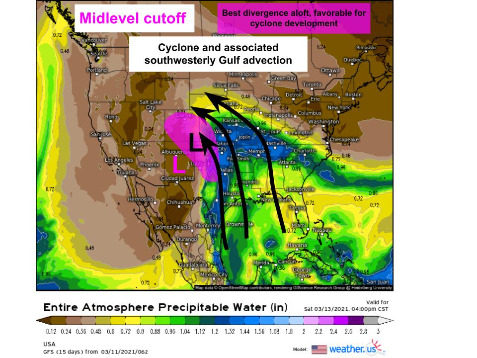
The moisture in this situation comes as the intensifying cyclone begins to exert an increasing tug on low level flow, pulling it into the southern Rockies from the southwest. The result? Increasing moisture advection streaming northwestward.
This is convenient, because the front range of Colorado, via orographic upsloping, allows condensation to be forced absent atmospheric convergence. If you recall, atmospheric convergence is quite a difficult thing to really get in one place for a long time, and often limits accumulations in nor’easters. But weather events that rely on orographic lift, like atmospheric rivers, can see huge precipitation accumulations over long durations by removing the need for persistent convergence from the equation.
Of course, upper-level ascent encouragement is needed, also, to get precipitation going. This isn’t provided by topography, but is provided by the convenient fact that the front range will exist from Friday to Sunday within the exit region of a roaring cutoff low. Holy divergence!
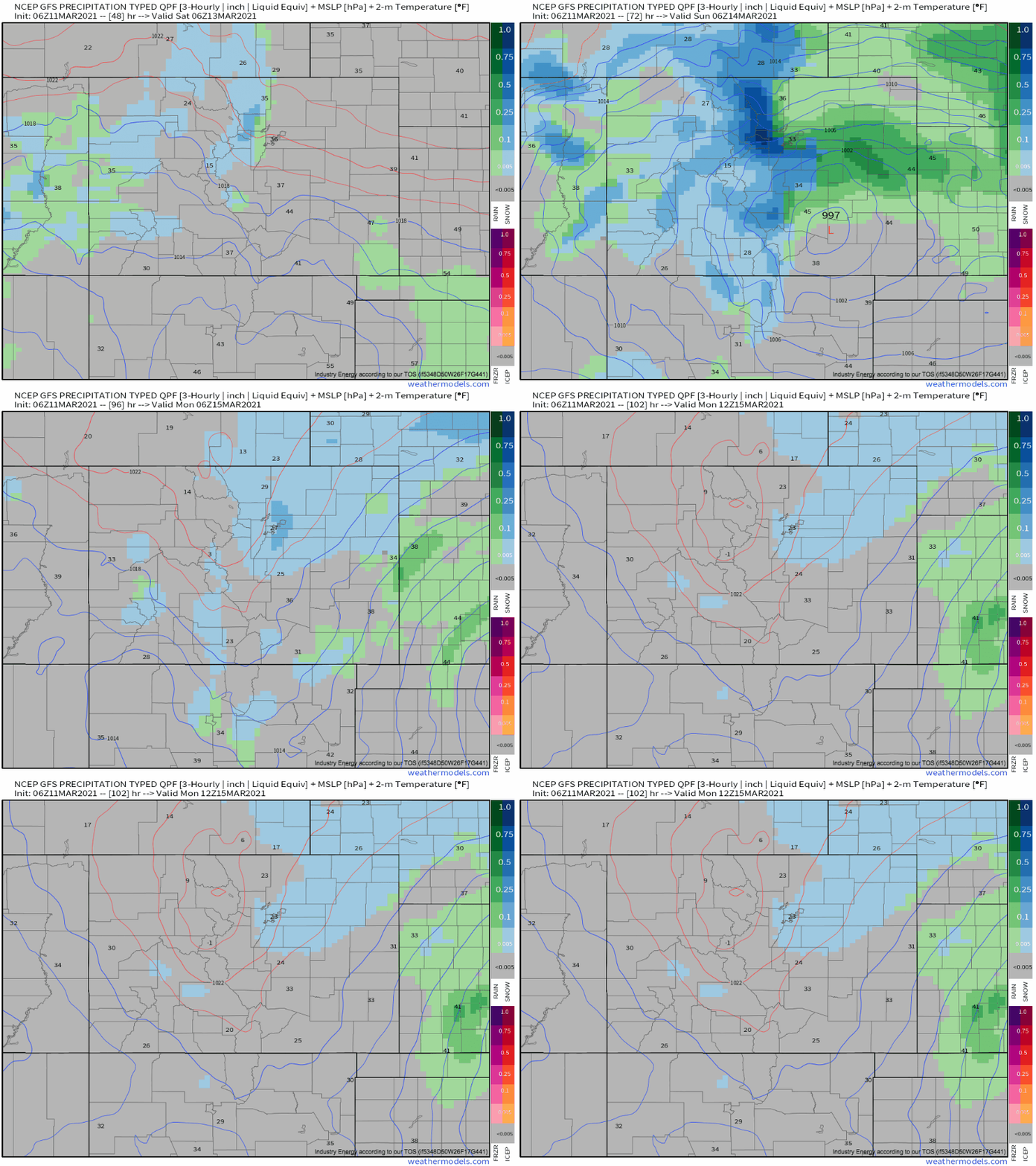
While the prime divergence pivots to the northwest along the inside periphery of the cutoff, the cutoff as a whole will move east. The result will be a relatively constant zone of this parameter overlap that allows for very heavy and persistent snowfall. This, in turn, means somebody will get absolutely slathered with intense, long -lived snowfall.
Where, exactly, this happens will depend a lot on the north/south placement of the closed low, which hopefully I’ve by now convinced you will have an outsized roll in orchestrating this whole event. Current guidance, on a subtle northerly trend, has this happening somewhere between Boulder and Cheyenne, with both cities seeing 1-2′ and areas between seeing amounts that could well locally exceed 4′. Because of the relatively narrow zone of incredible snow potential, the ceiling is quite high for any one location, but uncertainty also abounds, as some see incredible snowfall booms while nearby towns see relative busts.
Stay tuned to our twitter for more as the storm gets going!


