Looking Ahead: Pattern Switch Incoming
Good Monday morning to y’all! Hope everyone had an enjoyable weekend.
This will be a short blog since there isn’t much going on weather-wise this morning, and that’s okay! After this weekend’s nor’easter, I think we can all appreciate a quiet day or two.
Just something important to mention before we look ahead:
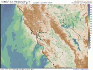
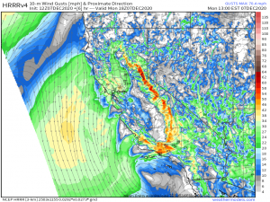
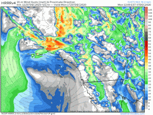
Southern California is facing an elevated fire risk today. This includes not only the Los Angeles area due to the Santa Ana Winds but also the Sacramento Valley and the Bay area, which is unusual for this time of year.
For the Valley and the Bay area…
…dry conditions and strong downslope winds are behind today’s fire risk. As the day progresses, the winds are expected to lessen and the humidity to return, which will do a lot to mitigate the threat in this area.
In southern California, however…
…dew points/humidity will fall through out the day as winds from the northeast increase, bringing another day of critical fire risk to the area. The critical risk is expected to last through tomorrow but begin to lessen by the middle of the week thanks to a change in the pattern.
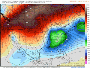
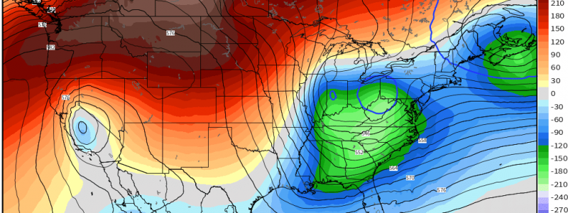
The culprit behind California’s fire weather is strong ridging in the west. This ridge is enabling very warm weather in the west while the east is chilly under the influence of a trough.
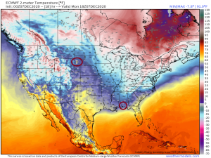
The western half of the country will see temperatures 15 degrees above average in places while the eastern half sees temperatures 10 degrees below average. In fact…
Areas of South Dakota will be warmer today than parts of the Florida panhandle. Yikes.
A pattern switch is coming, though.
(gif)
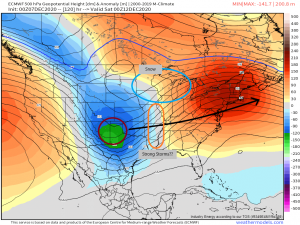
By the latter half of the week, the west will be experiencing a trough and cooler temperatures while the east warms up under anomalous ridging.
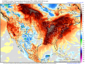
By the weekend, a large area of the eastern half of the US will be seeing temperatures 15 to 25 degrees above average. Sun lovers, rejoice! It’ll be short-lived though (sorry). About this time, an area of low pressure will undergo lee cyclogenesis.
In case you aren’t familiar: Lee cyclogenesis is when a disturbance becomes a surface cyclone spurred by the addition of positive [cyclonic] vorticity during it’s decent down the lee side of a mountain range – the Rockies, in this case.
This system will bring snow to the Great Lakes area and the possible threat of strong storms to the Plains/Ozarks. The extent of the threat is still somewhat unclear, so that will be something to watch throughout the week, but the potential is certainly there. We’ll discuss this later in the week when the details are a little more solid.
We will, as always, keep you updated via this blog and Twitter of any developing weather. Have a wonderful day!
