Let It Snow!
Snow. Yep, I said it.
There is a very good chance this weekend that a set up conducive to measurable snowfall will occur later this weekend over first the Great Lakes and then into the Northeast.
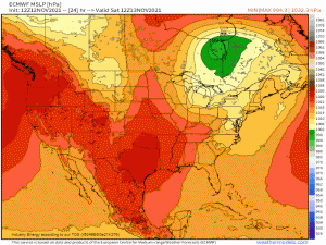
Our set-up starts with an Alberta Clipper.
For those not familiar with the term, an Alberta Clipper is a fast-moving low pressure system that develops in the lee of the Rockies – in the Canadian province of Alberta. It moves out of Canada and over the Great Lakes and, if the temperatures are cold enough, is usually good for a few quick inches of snow.
So, about those temperatures – do we have the cold air?
The answer is a resounding “sort of”. Let me explain:
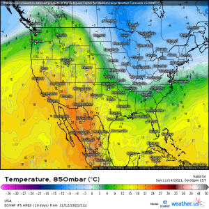
The clipper will be pulling cold air in from Canada behind it, that much is certain and even evident on the 850 mb temps for Sunday evening.
Temperatures ahead of it, however, are marginal at best. Yes, we just had a cold front swing through this region yesterday and it has dropped temperatures/will continue to allow cold air to sink in through the weekend.
But the air ahead of the first front was well above average. The cooler airmass settling in behind it will bring temps to just slightly below average. While this may be enough for snow in the elevations or locations further north and colder (Michigan, Wisconsin), it’s probably not quite enough for any valley locations.
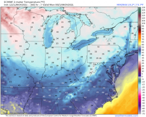
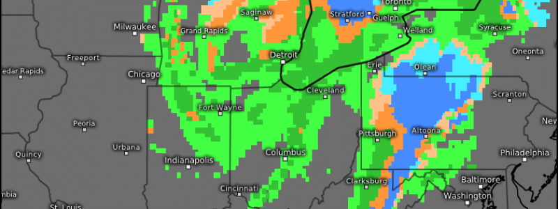
Temperatures modeled by the ECMWF for Sunday night show the truly cold air sinking in behind the low while temps are, at best, borderline in any location that isn’t a bit elevated. While borderline temperatures may be enough to get a mix or even a burst of snow in the lower elevations, any accumulating snow will be confined to colder locales.
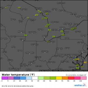
Another thing we need to consider in this set up is the temperatures of the waters of the Great Lakes.
They’re still well above freezing at this point in the year. Cold air flowing over these lakes will encourage the warm air just above the lakes’ surface to rise, creating convective snow showers – better known as lake effect snow. These can be quite potent, depending on the length of the fetch, and enhance snowfall totals downwind of the lakes.
The warm water also has a moderating effect on the temperature of the land immediately surrounding it. When this lake effect snow occurs, temperatures in locales like Buffalo, Rochester, and Erie will be conducive to rain while interior (and elevated) locations are the ones that get the accumulating snow.
Let’s get to the forecast accumulations since I know that’s what everyone wants to see anyway.
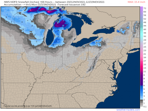
This is the NWS model forecast through early Monday morning, which is as far out as it goes at the moment. I chose this particular model because it tends to be a good middle ground for the extremes we can sometimes see in the ECMWF or the GFS.
It perfectly illustrates what I’ve written above. Locations further north will be cold enough to see snow for the duration of the event and therefore end up with higher totals. Areas immediately surrounding the lakes are too warm for any accumulation but inland elevations pick up a few inches.
Totals will likely be a bit more than is displayed -especially in the elevations of upstate NY and into the New England elevations – as lake effect snow will persist into Tuesday. But, again, this is as far out as this particular model currently goes.
So, those of you lucky enough to have the thermal support – enjoy your snow!
