Lake Effect Snow: How It Works
Tis the season… for Lake Effect Snow.
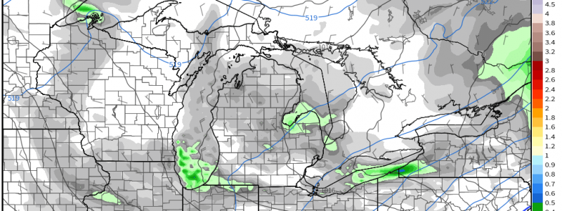
As large-scale systems roll through, residents downwind of the Great Lakes know that, once the wind shifts, narrow bands of snow often come streaming off the lakes.
But how does this process work, exactly? We’re going to take a look at that in today’s blog.
We need a few ingredients for Lake Effect Snow:
- Cold air aloft
- Comparably warm (not yet frozen) lake water
- Favorable synoptic flow – generally from the N or NW
At this time of year, cold air aloft is nearly a given, in normal circumstances, anyway. While this is an important ingredient, both wind direction and lake temperature are arguably the more important factors.
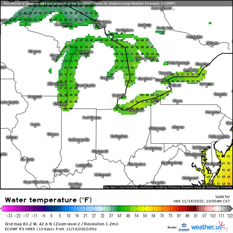
I’d go so far as to say that water temperature is probably the most important consideration. It is incredibly important that the lake in question not be frozen over. A frozen lake is unable to transfer heat and moisture to the air as it passes over, immediately making lake effect snow out of the question.
Water must be significantly warmer than the air aloft to generate lake effect snow. Now, while water temperatures of 45 degrees aren’t exactly what I’d call swimming weather, if the air aloft (at the 850 mb level) is -10 degrees, that’s a difference of 55 degrees over roughly 5000 ft and enough to sustain a bit of convection – because that’s what lake effect snow is: convective snow showers.
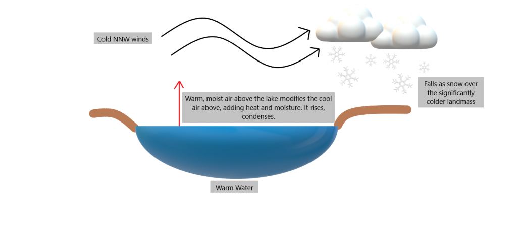
Here’s another one of my wonderful homemade graphics explaining the process.
Cold air advects over the lake surface. Warm, moist air transfers to the lower atmosphere, rises and condenses. The process continues, growing narrow bands of clouds which later produces snow over the much-colder land.
We’ve seen why lake temperature is important, but wind direction is also extremely important.

As mentioned above, for the Great Lakes to produce lake effect snow, a wind direction somewhere between north and northwest is generally the most favorable. However, it can greatly depend on the orientation of the lake.
For example, Lake Michigan is longer than it is wide. Therefore, a northerly wind would provide a longer fetch (uninterrupted distance wind blows over water) and therefore more potent snow bands. A northwesterly wind will still produce lake effect snow, all other conditions conducive, but a shorter fetch generally leads to smaller, less persistent bands.
Conversely, Lake Erie is wider than it is long. Here, a southwest wind would allow for a longer fetch. However, Lake Erie is well known for producing persistent banding capable of significant snowfall from a northwest wind – especially if it flows across the wider middle of the lake.
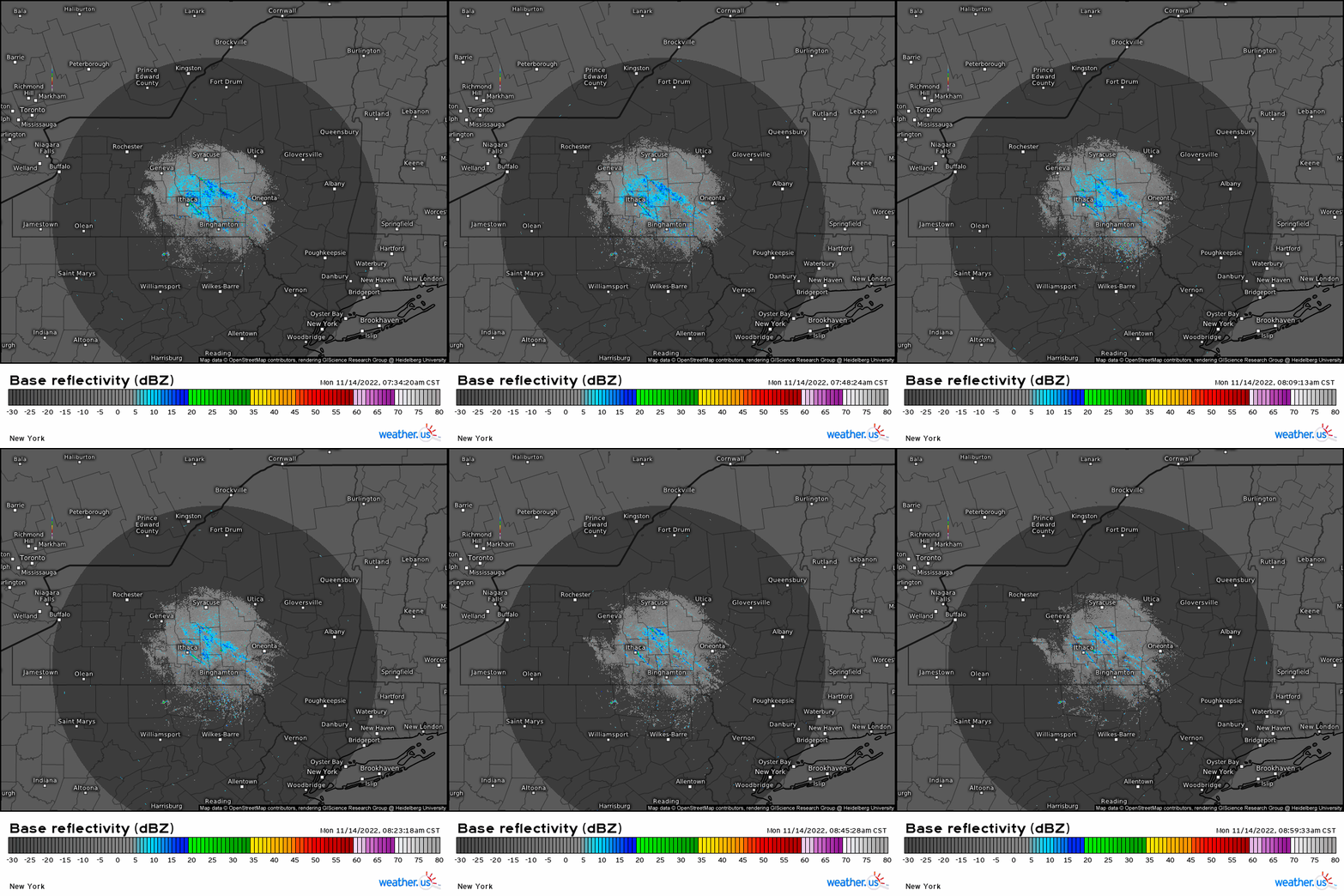
Wind direction is also important in predicting who will receive the lake effect snow. If you’ll watch the gif above, you’ll notice how, as the wind shifts, so does the precip potential. A small change in wind direction can have large effects on where that snow piles up. For example, a shift from NW to more NNW could make the difference between Rochester, NY receiving snow rather than Buffalo, NY.
For this reason, lake effect snow often has a tight gradient and is notoriously difficult to forecast. One town may receive several inches of snow while another town 5 miles away receives nothing at all.
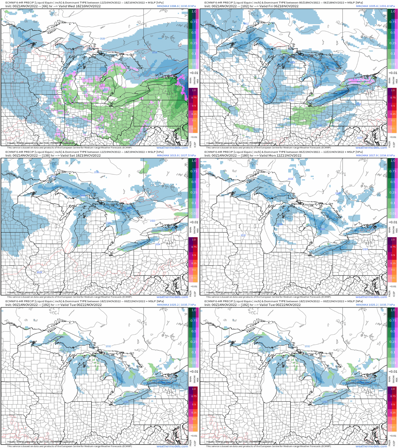
Lake effect snow will be possible at times throughout this week, especially after the passage of our next system. Hopefully you learned something today and can use that new knowledge to identify a pattern that might be favorable for your location (if you reside in this area, anyway).


