Incredibly Dry Day Expected Tomorrow
Following a very active few weeks of severe storms and flash flooding, a couple well-timed systems and an expansive ridge will collaborate to assure a shocking lack of precipitation falls on the continental US tomorrow.
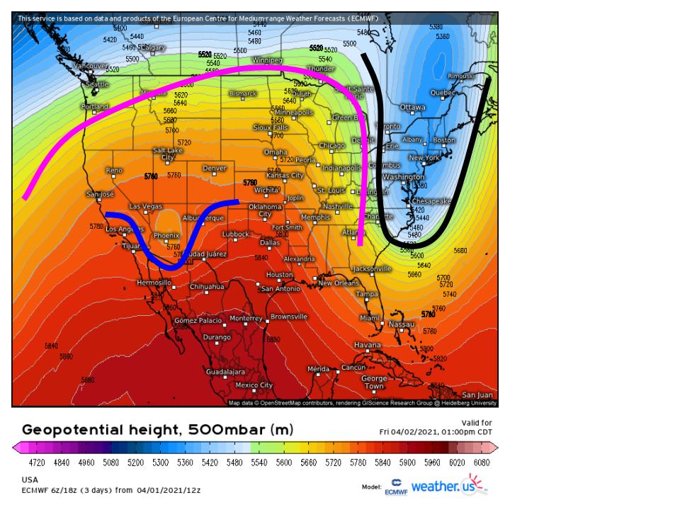
The midlevels will be quite supportive for a general lack of weather tomorrow, with three features of note worth watching: an east coast trough being pinched into a squashed closed low (black), an expansive ridge nosing into the central US (pink), and a small cutoff trough amidst said ridging (blue).
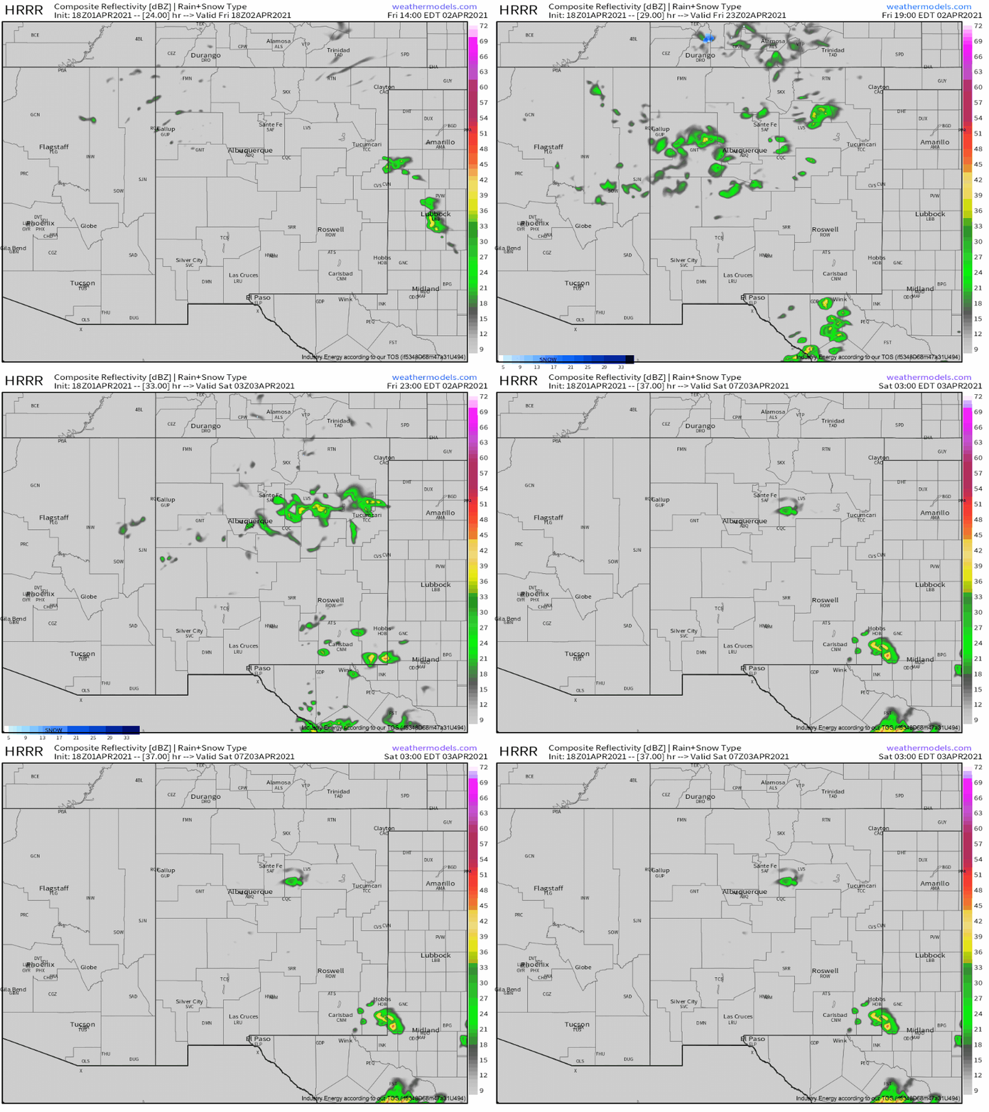
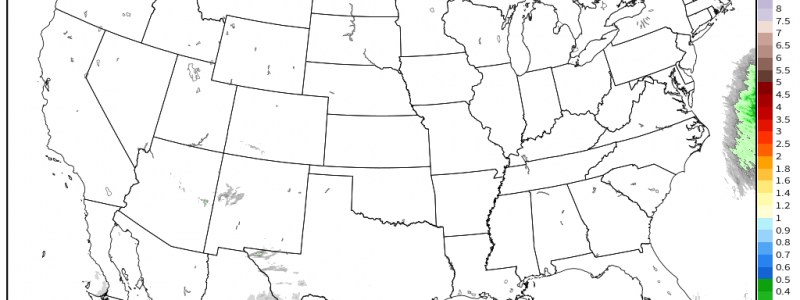
Most of the country is either under the ridge itself, or under the ‘transition zone’ between the troughing and ridging over the eastern US. In these two areas, converging heights at-large will contribute to large scale sinking air. This proves inhospitable to the type of synoptic-scale rising required for precipitation, and so widespread rain is almost out of the question across the entire US. The only real exception will be over Arizona and New Mexico, a region overspread by divergence from a weak shortwave. However, topography is on the side of dryness; a lack of any real moisture source will preclude anything but scattered light convective showers.
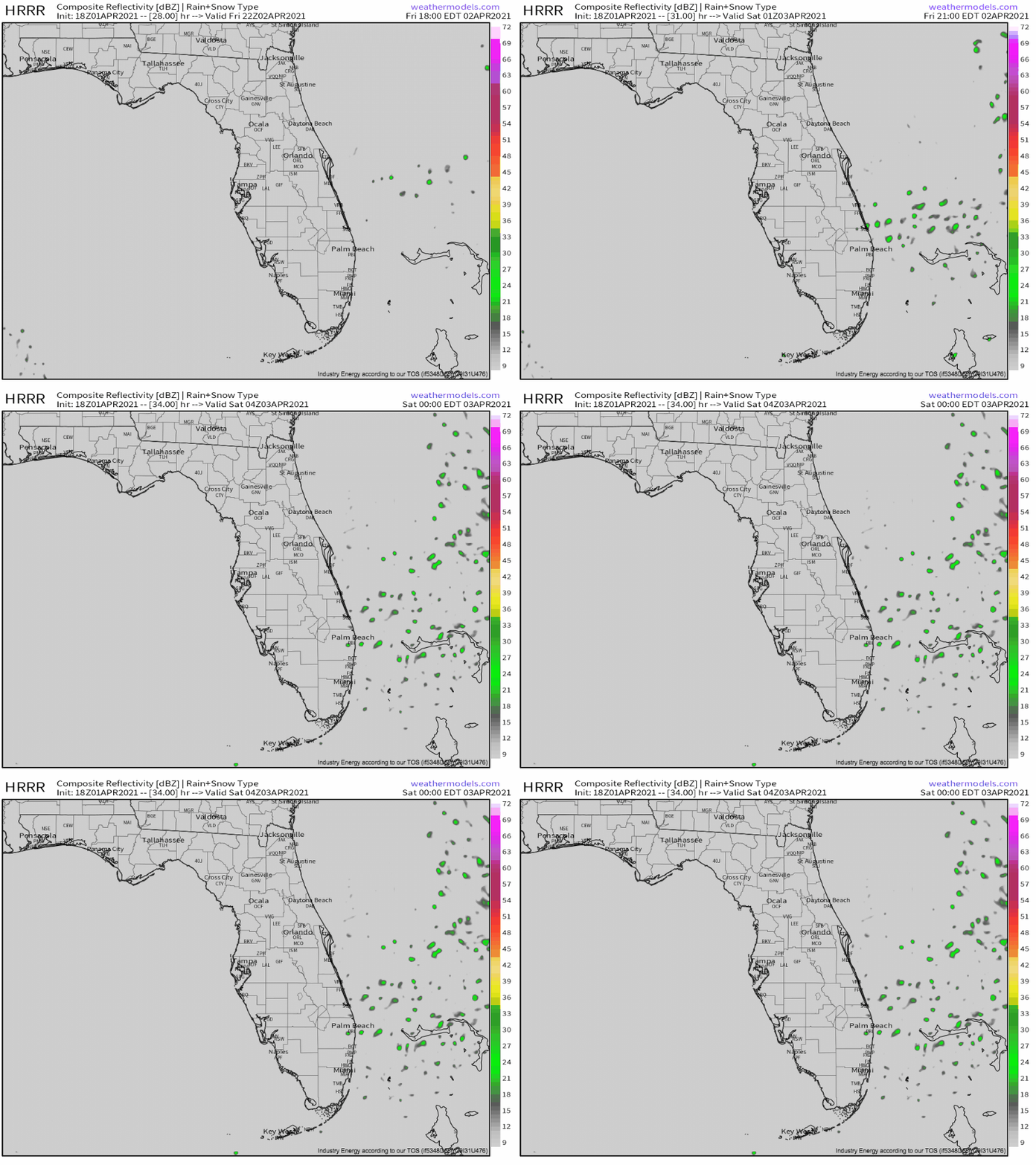
The only other substantial potential for rain will be in coastal southeastern Florida, the only place in the country where some degree of convective instability could develop. Amidst these conditions, all it takes is weak sub-synoptic ascent to promote showery convection that can drop meaningful precipitation.
Luckily for fans of dry weather, this weak ascent looks to large remain offshore. More points for dry weather!
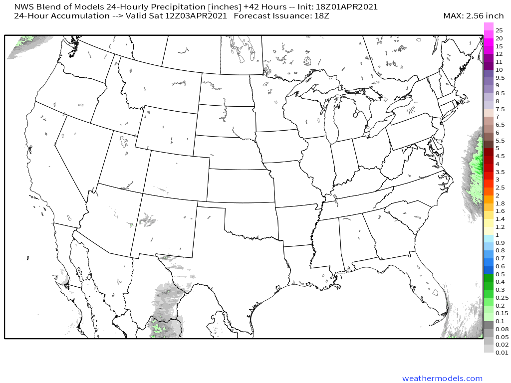
All in all, tomorrow will be exceptionally dry. Just look at this map:
Yeesh! That’s dry! Enjoy it.
