Ideal Conditions For Radiational Cooling: What it is, and Implications
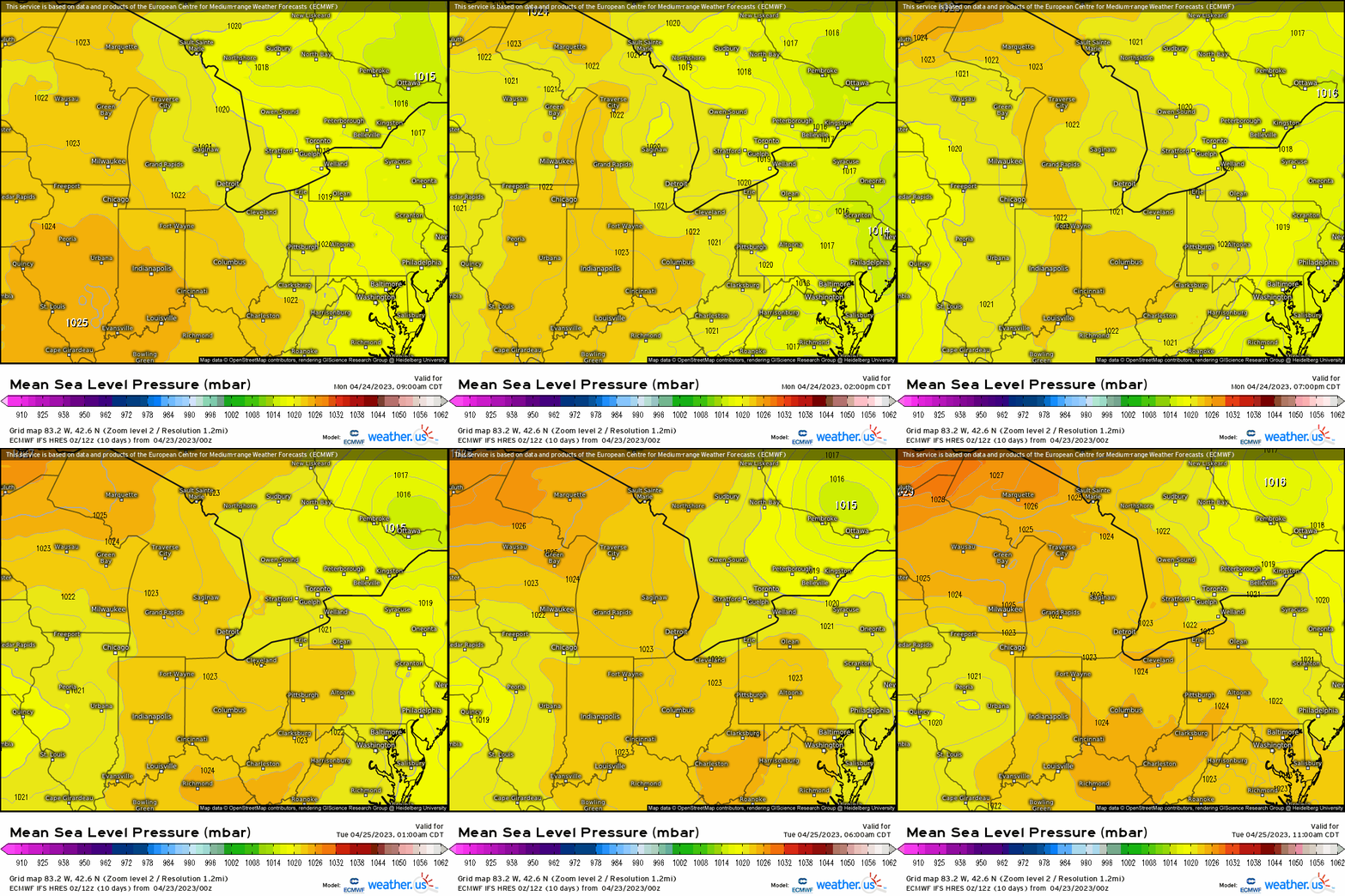
A continental high pressure system (albeit modified as it’s been propagating across the Intermountain West and Plains) will work its way across the Ohio Valley tonight. This’ll make for an ideal atmospheric situation known as radiational cooling; a phenomenon that occurs often, and noticeably plummets temperatures during the cooler months (Fall – Spring). Since we’re in the Spring season, and the anomalous warmth especially over the past several weeks (and overall warm winter to boot), this puts early vegetation at risk for a late-season frost and freeze.
So how do we identify this using soundings, and what atmospheric conditions are prime for this to manifest?

First, we know that Earth is constantly giving off geothermal heat from its core – that’s a perpetual constant. However, we also know that we have an energy balance with the sun’s insolation, so during the day the Earth also receives energy in the form of heat that’s absorbed. At night, this energy can be lost to the atmosphere and space. This is where radiational cooling comes into play that with the right atmospheric conditions, this process is exacerbated. So what to look for are a few key things:
- Cloudless skies
- Subsidence aloft via High Pressure
- Weak winds in the boundary layer
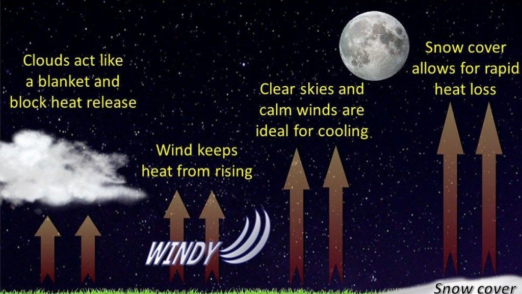
Clouds, akin to a blanket when you go to sleep during the night, trap heat in the troposphere thereby keeping the previous daytime’s heat from escaping.
Subsidence, or sinking air via high pressure (mass is converging aloft and toward the surface) brings relative humidity to very low values, thereby also thwarting any condensation from occurring. We know we need condensation in order to form clouds.
Lastly, winds need to remain weak within the lower 1-2 km (essentially lowest ~3500 ft) so that there’s no mixing. Winds that are coupled from the surface to essentially the lower troposphere help transport stronger winds that may be aloft, down to the surface. This causes heat to remain at the surface allowing for temperatures to remain elevated. The complete opposite occurs when the boundary layer decouples from the troposphere, where now mixing can’t occur, and heat loss is maximized. It’s even augmented when we have snow cover, since it’s extremely high in albedo (i.e. reflecting solar radiation), which allows for temperatures to plummet even more than if there were no snow cover. This graphic below illustrates this very nicely!

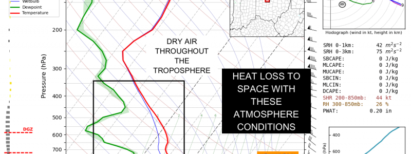
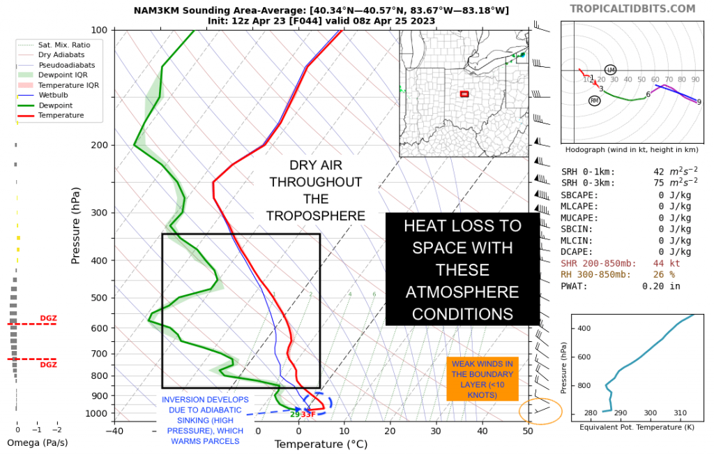
Lastly, we can use soundings (vertical thermodynamic profile of the atmosphere) to identify key features for radiational cooling. We see plenty of dry air within the troposphere, weak winds in the boundary layer, and a radiational cooling inversion due to sinking parcels that warm adiabatically in conjunction with surface temperatures falling drastically.

This is especially notable during the winter months when we do have snow cover, clearing skies, and weak winds – that’s sure one way to plummet temperatures into the teens, single digits, and depending on location, even below zero degrees. So now you have a solid understanding whenever that term is utilized!


