Hurricane Michael continues to intensify and poses major disaster to Florida panhandle
Update: During the evening, Michael has continued to intensity. At 630 PM EDT, aircraft recon reported a central pressure of 952 mb typical of a Major Hurricane. I would anticipate that it will reach Category 4 in the next 12-24 hours and remain at that intensity until landfall near Panama City Beach, Florida. Convection continues to explode around the obscured eye.
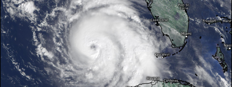
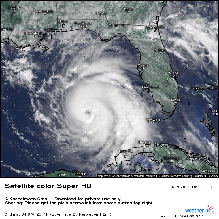
The satellite presentation of Hurricane Michael has improved during the day on Tuesday with a clearing eye in visible satellite imagery. The National Hurricane Center 11 AM EDT update set the intensity at 95-knots, which is only 1-knot below Category 3 Major Hurricane status. It is forecast to reach near Category 4 (110-knots) prior to landfall just east of Panama City, Florida.
You can view the updated Satellite loop from this link (during the day) –> LOOP zoomed on Gulf of Mexico.
Impacts to Florida will be disastrous along the Gulf Coast extending from about Destin east through Panama City Beach to St. Joe and Apalachicola. The Big Bend will protect areas east like Wakulla and Taylor County from the worst storm surge impacts.
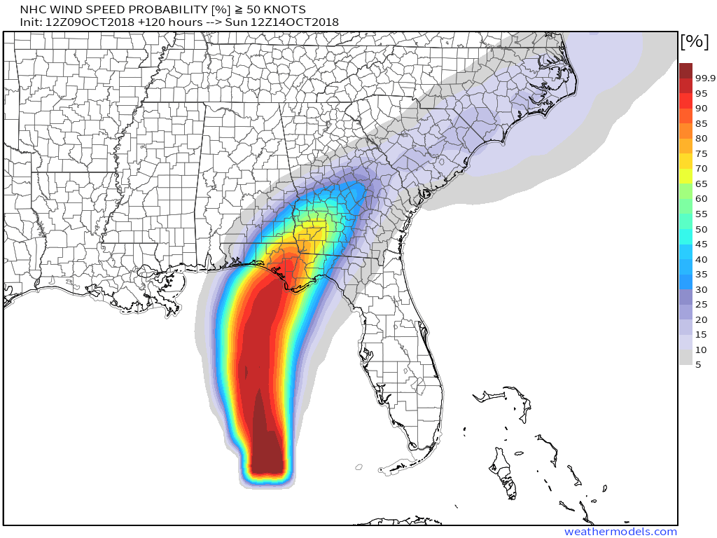
Winds of 50-knots or 60-mph are expected to continue well inland along the track of Michael into Southern Georgia. Interstates 10 and 75 will have treacherous driving conditions going through the day Wednesday and early Thursday.
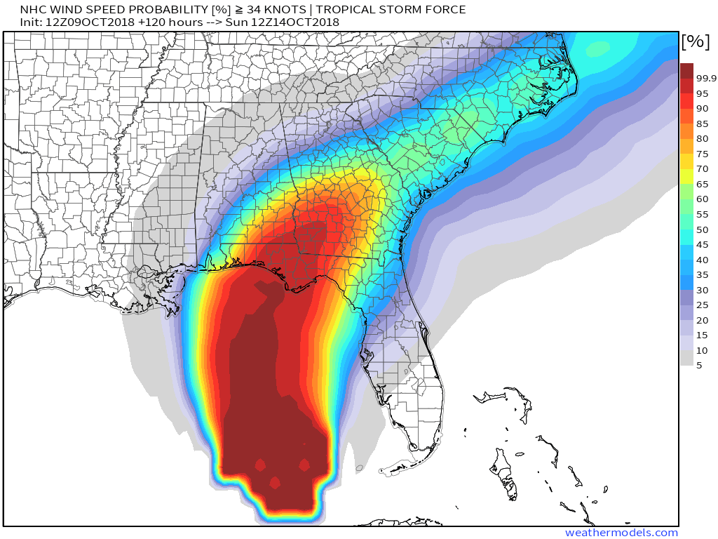
These maps are the probability of Tropical Storm (34-knots) and 50-knots+ wind speeds from NHC data.


